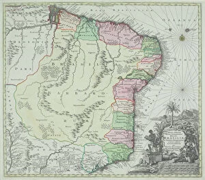
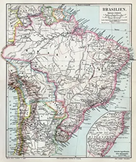
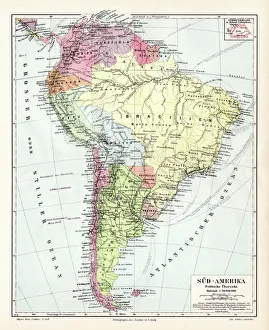
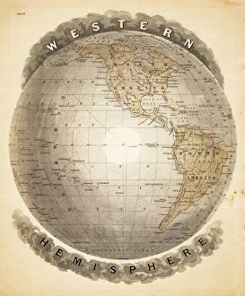
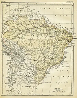
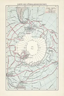
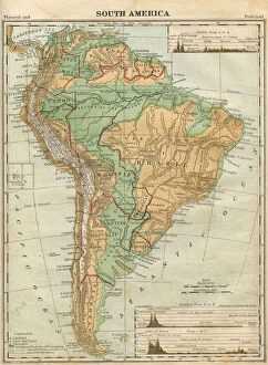
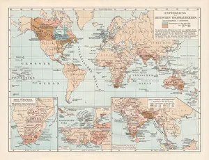
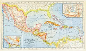
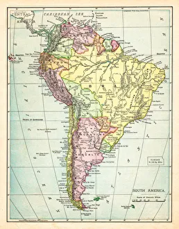
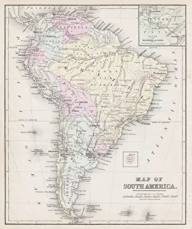
antique, archival, brasil, brasilia, brazil, cartography, cartouche, colored, decorative, distribution, districts, elegant, geography, historic, indigenous peoples, key, legend, location, map
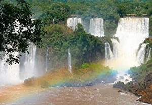
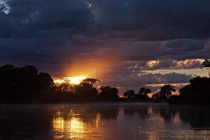
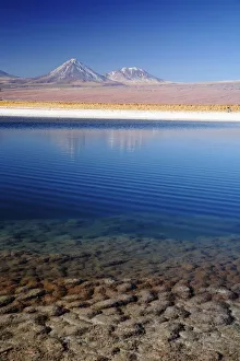
Pond in the Atacama Desert in Chile
atacama desert, calm, chile, copy space, day, natural, nature, nobody, outdoor, peaceful, picturesque, pond, quiet, scenic, serene, shore, south america, tranquility, valley, Atacama Desert Valley