mail_outline sales@mediastorehouse.com
View Over Vineyards to a Small TownBeaujolais, Rhone Valley, France
Elevated Long Shot of a Small TownGrahamstown, Eastern Cape Province, South Africa
Traditional adobe building in Yazd old town, IranYazd is an ancient desert city in central Iran and the capital of the Yazd province. Since 2017 its listed by UNESCO as a world heritage
Meybod old house and wind tower, IranMeybod is a major desert city in Yazd Province, Iran. It is an ancient city that goes back to pre-Islamic arena and, hence, is the home to many ancient points of interests
Four Iwan yard in the complex of the congregational Mosque in Nain, Isfahan, IranNain is an old town in Isfahan province, central Iran. It has some of the most outstanding monuments of the country and is a popular touristic destination
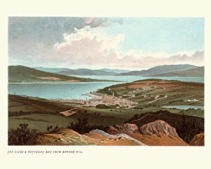
Clyde and Rothesay Bay from Barcone Hill, Scotland, 19th CenturyVintage engraving of Clyde and Rothesay Bay from Barcone Hill, Scotland, 19th Century
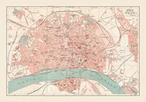
City map of Cologne, North Rhine-Westphalia, Germany, lithograph, published 1897City map of Cologne, North Rhine-Westphalia, Germany. Lithograph, published in 1897
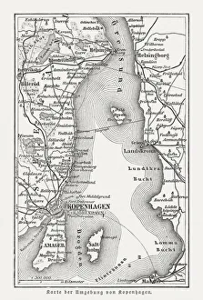
Map of Copenhagen and sourroundings, Denmark, wood engraving, published 1897Map of Copenhagen and sourroundings, Denmark. Wood engraving, published in 1897
Saint-Jean-Pied-de-Port, Pyrenees AtantiqueImage of the River Nive in Saint-Jean-Pied-de-Port in the Pyrenees, South West France
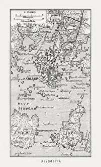
Historic map of Karlskrona and surroundings, wood engraving, published 1897Historic map of Karlskrona and surroundings. Wood engraving, published in 1897
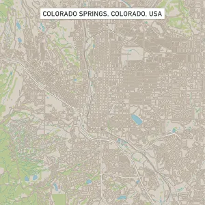
Colorado Springs Colorado US City Street MapVector Illustration of a City Street Map of Colorado Springs, Colorado, USA. Scale 1:60, 000. All source data is in the public domain. U.S
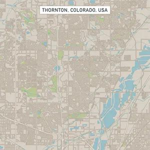
Thornton Colorado US City Street MapVector Illustration of a City Street Map of Thornton, Colorado, USA. Scale 1:60, 000. All source data is in the public domain. U.S
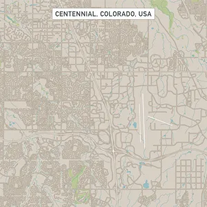
Centennial Colorado US City Street MapVector Illustration of a City Street Map of Centennial, Colorado, USA. Scale 1:60, 000. All source data is in the public domain. U.S
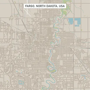
Fargo North Dakota US City Street MapVector Illustration of a City Street Map of Fargo, North Dakota, USA. Scale 1:60, 000. All source data is in the public domain. U.S
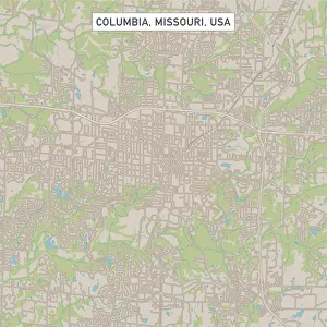
Columbia Missouri US City Street MapVector Illustration of a City Street Map of Columbia, Missouri, USA. Scale 1:60, 000. All source data is in the public domain. U.S
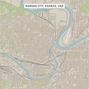
Kansas City Kansas US City Street MapVector Illustration of a City Street Map of Kansas City, Kansas, USA. Scale 1:60, 000. All source data is in the public domain. U.S
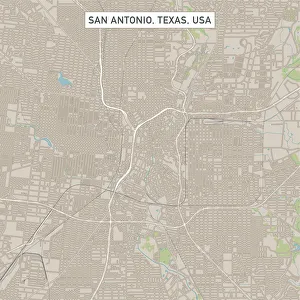
San Antonio Texas US City Street MapVector Illustration of a City Street Map of San Antonio, Texas, USA. Scale 1:60, 000. All source data is in the public domain. U.S
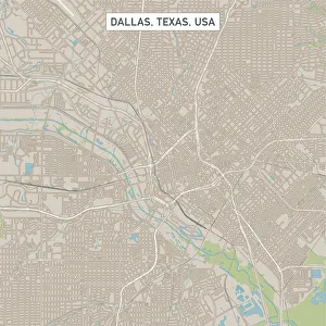
Dallas Texas US City Street MapVector Illustration of a City Street Map of Dallas, Texas, USA. Scale 1:60, 000. All source data is in the public domain. U.S
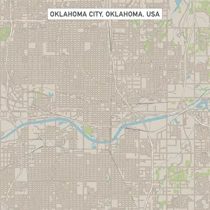
Oklahoma City Oklahoma US City Street MapVector Illustration of a City Street Map of Oklahoma City, Oklahoma, USA. Scale 1:60, 000. All source data is in the public domain. U.S
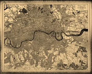
London city map
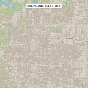
Arlington Texas US City Street MapVector Illustration of a City Street Map of Arlington, Texas, USA. Scale 1:60, 000. All source data is in the public domain. U.S
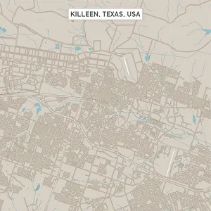
Killeen Texas US City Street MapVector Illustration of a City Street Map of Killeen, Texas, USA. Scale 1:60, 000. All source data is in the public domain. U.S
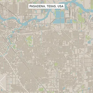
Pasadena Texas US City Street MapVector Illustration of a City Street Map of Pasadena, Texas, USA. Scale 1:60, 000. All source data is in the public domain. U.S
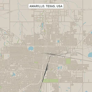
Amarillo Texas US City Street MapVector Illustration of a City Street Map of Amarillo, Texas, USA. Scale 1:60, 000. All source data is in the public domain. U.S
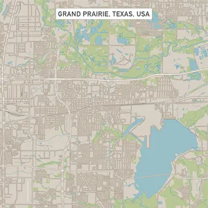
Grand Prairie Texas US City Street MapVector Illustration of a City Street Map of Grand Prairie, Texas, USA. Scale 1:60, 000. All source data is in the public domain. U.S
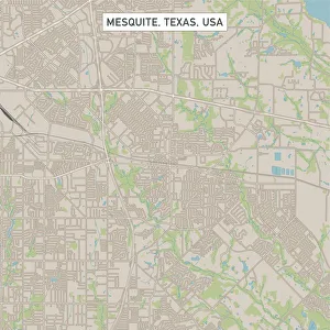
Mesquite Texas US City Street MapVector Illustration of a City Street Map of Mesquite, Texas, USA. Scale 1:60, 000. All source data is in the public domain. U.S
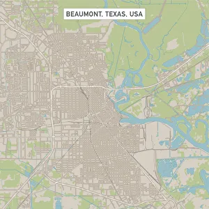
Beaumont Texas US City Street MapVector Illustration of a City Street Map of Beaumont, Texas, USA. Scale 1:60, 000. All source data is in the public domain. U.S
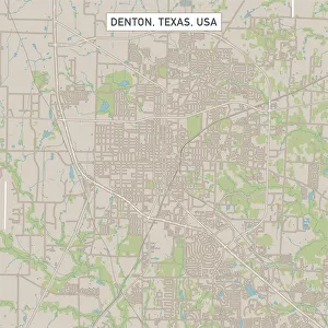
Denton Texas US City Street MapVector Illustration of a City Street Map of Denton, Texas, USA. Scale 1:60, 000. All source data is in the public domain. U.S
College Station Texas US City Street MapVector Illustration of a City Street Map of College Station, Texas, USA. Scale 1:60, 000. All source data is in the public domain. U.S
Pearland Texas US City Street MapVector Illustration of a City Street Map of Pearland, Texas, USA. Scale 1:60, 000. All source data is in the public domain. U.S
Richardson Texas US City Street MapVector Illustration of a City Street Map of Richardson, Texas, USA. Scale 1:60, 000. All source data is in the public domain. U.S
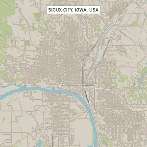
Sioux City Iowa US City Street MapVector Illustration of a City Street Map of Sioux City, Iowa, USA. Scale 1:60, 000. All source data is in the public domain. U.S
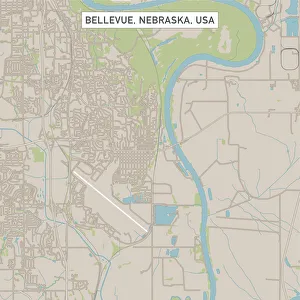
Bellevue Nebraska US City Street MapVector Illustration of a City Street Map of Bellevue, Nebraska, USA. Scale 1:60, 000. All source data is in the public domain. U.S
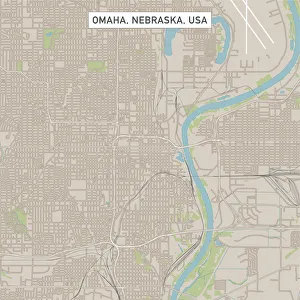
Omaha Nebraska US City Street MapVector Illustration of a City Street Map of Omaha, Nebraska, USA. Scale 1:60, 000. All source data is in the public domain. U.S
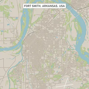
Fort Smith Arkansas US City Street MapVector Illustration of a City Street Map of Fort Smith, Arkansas, USA. Scale 1:60, 000. All source data is in the public domain. U.S
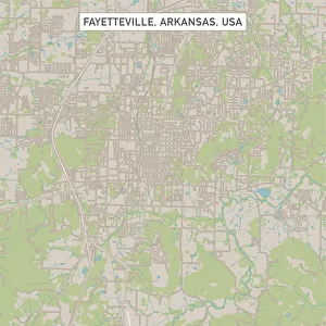
Fayetteville Arkansas US City Street MapVector Illustration of a City Street Map of Fayetteville, Arkansas, USA. Scale 1:60, 000. All source data is in the public domain. U.S
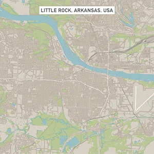
Little Rock Arkansas US City Street MapVector Illustration of a City Street Map of Little Rock, Arkansas, USA. Scale 1:60, 000. All source data is in the public domain. U.S
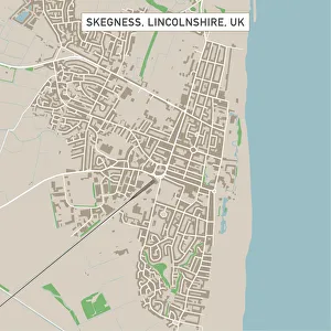
Skegness Lincolnshire UK City Street MapVector Illustration of a City Street Map of Skegness, Lincolnshire, UK. Included files are EPS (v10) and Hi-Res JPG. Data courtesy from Ordnance Survey: VectorMap District https
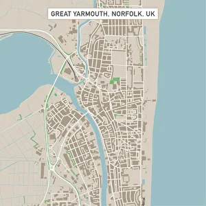
Great Yarmouth Norfolk UK City Street MapVector Illustration of a City Street Map of Great Yarmouth, Norfolk, UK. Included files are EPS (v10) and Hi-Res JPG. Data courtesy from Ordnance Survey: VectorMap District https
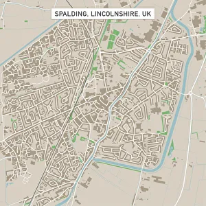
Spalding Lincolnshire UK City Street MapVector Illustration of a City Street Map of Spalding, Lincolnshire, UK. Included files are EPS (v10) and Hi-Res JPG. Data courtesy from Ordnance Survey: VectorMap District https
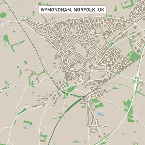
Wymondham Norfolk UK City Street MapVector Illustration of a City Street Map of Wymondham, Norfolk, UK. Included files are EPS (v10) and Hi-Res JPG. Data courtesy from Ordnance Survey: VectorMap District https
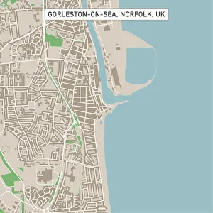
Gorleston-on-Sea Norfolk UK City Street MapVector Illustration of a City Street Map of Gorleston-on-Sea, Norfolk, UK. Included files are EPS (v10) and Hi-Res JPG. Data courtesy from Ordnance Survey: VectorMap District https
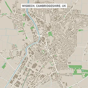
Wisbech Cambridgeshire UK City Street MapVector Illustration of a City Street Map of Wisbech, Cambridgeshire, UK. Included files are EPS (v10) and Hi-Res JPG. Data courtesy from Ordnance Survey: VectorMap District https
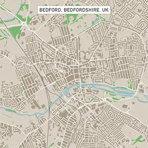
Bedford Bedfordshire UK City Street MapVector Illustration of a City Street Map of Bedford, Bedfordshire, UK. Included files are EPS (v10) and Hi-Res JPG. Data courtesy from Ordnance Survey: VectorMap District https
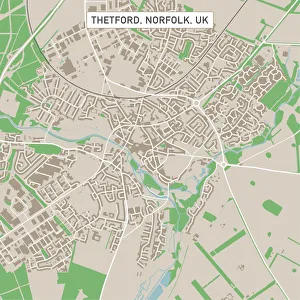
Thetford Norfolk UK City Street MapVector Illustration of a City Street Map of Thetford, Norfolk, UK. Included files are EPS (v10) and Hi-Res JPG. Data courtesy from Ordnance Survey: VectorMap District https
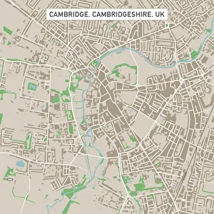
Cambridge Cambridgeshire UK City Street MapVector Illustration of a City Street Map of Cambridge, Cambridgeshire, UK. Included files are EPS (v10) and Hi-Res JPG. Data courtesy from Ordnance Survey: VectorMap District https
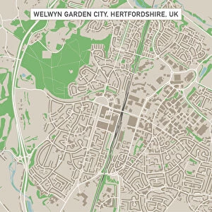
Welwyn Garden City Hertfordshire UK City Street MapVector Illustration of a City Street Map of Welwyn Garden City, Hertfordshire, UK. Included files are EPS (v10) and Hi-Res JPG
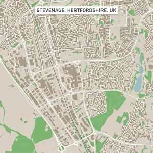
Stevenage Hertfordshire UK City Street MapVector Illustration of a City Street Map of Stevenage, Hertfordshire, UK. Included files are EPS (v10) and Hi-Res JPG. Data courtesy from Ordnance Survey: VectorMap District https