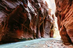
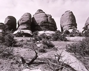
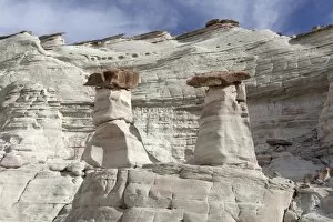
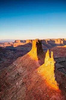
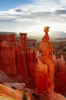
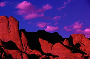
Large rock formations
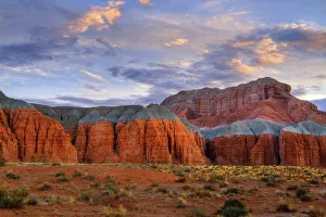
big, canyon, cylinders, cylindrical, day, desert, erosion, formations, geology, giant, grand, history, large, natural, nature, nobody, outdoor, park, repetitive, rock landscape, scenery, scenic
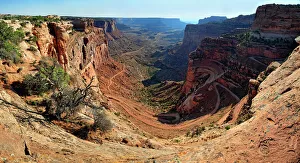
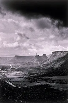
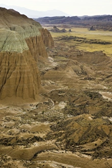
Empty valley
america, canyon, clouds, cloudy, day, desert, desolate, dry, earth, elevation, environment, erosion, formation, geology, hiking, la sal, landscape, mountains, nobody, outdoor, overlooking, rocks
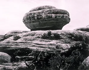
Rock shaped like hamburger
america, canyon, close up, close-up, closeup, day, desert, dry, earth, environment, erosion, formation, geology, hamburger rock, hiking, nobody, odd, outdoor, rocks, rocky, round, shape, shaped
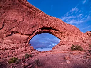
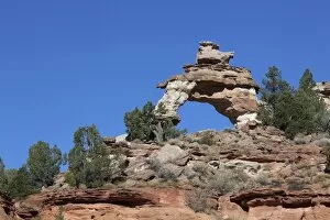
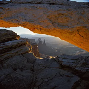
arch, beauty in nature, canyon, canyonlands, canyonlands national park, color image, day, desert, environment, landmark, landscape, mesa arch, mountain, national park, nature, no people, outdoors