mail_outline sales@mediastorehouse.com
Choose a picture from our collection for your Wall Art and Photo Gifts
3 Items
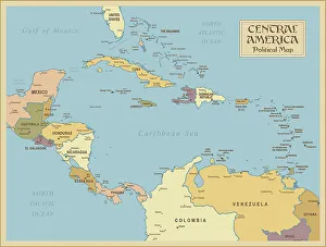
A vintage Central America Political MapCentral America is the thin section of land that links the North American continent with the South American continent. Geographically part of North America, it is made up of seven small
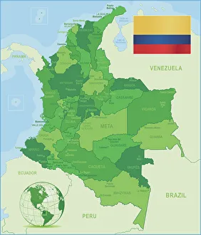
Green Map of Colombia - states, cities and flagColombia, country of northwestern South America. Its 1, 000 miles (1, 600 km) of coast to the north are bathed by the waters of the Caribbean Sea, and its 800 miles (1)
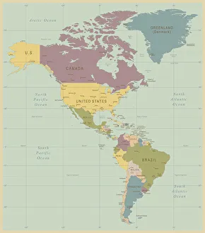
Vintage Map of North and South America534055040