mail_outline sales@mediastorehouse.com
3,678 items
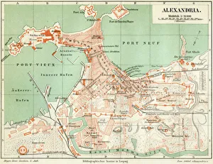
Plan of the old city Alexandria 1895Meyers Konversations-Lexikon. Ein Nachschlagewerk des allgemeinen Wissens, 5th edition 17 volumes Bibliographisches Institut - Leipzig 1895-1897
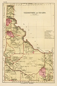
Iowa USA map 1881Encyclopedia Britannica 9th Edition Vol XII Philadelphia j.M. Stoddart & Co 1881
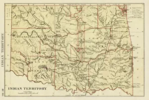
USA indian territories map 1881Encyclopedia Britannica 9th Edition Vol XII Philadelphia j.M. Stoddart & Co 1881
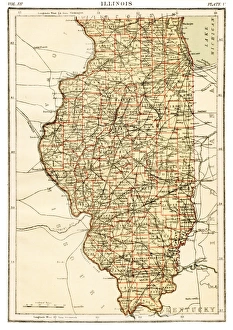
Illinois map 1881Encyclopedia Britannica 9th Edition Vol XII Philadelphia j.M. Stoddart & Co 1881
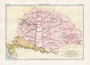
Hungary map 1881Encyclopedia Britannica 9th Edition Vol XII Philadelphia j.M. Stoddart & Co 1881
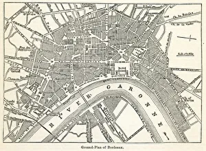
Bordeaux map engraving 1877Encyclopedia Britannica 9th Edition Vol IV Philadelphia j.M. Stoddart & Co 1877
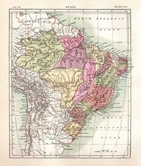
Brazil engraving 1877Encyclopedia Britannica 9th Edition Vol IV Philadelphia j.M. Stoddart & Co 1877
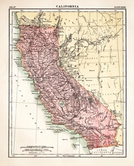
California map engraving 1877Encyclopedia Britannica 9th Edition Vol IV Philadelphia j.M. Stoddart & Co 1877
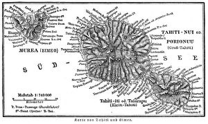
Tahiti island map 1895Meyers Konversations-Lexikon. Ein Nachschlagewerk des allgemeinen Wissens, 5th edition 17 volumes Bibliographisches Institut - Leipzig 1895-1897
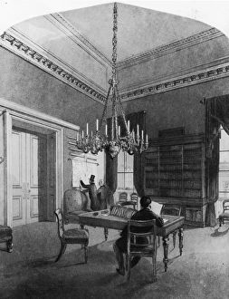
Map Roomcirca 1850: Gentlemen consulting charts in the map room of the United Service Club, Pall Mall, London. An engraving by H Melville after L L Jewett. (Photo by Hulton Archive/Getty Images)
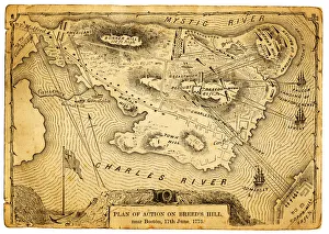
Plan of action at the Battle on Breeds HillVintage engraving of the Plan of action at the Battle of Breeds Hill (also known as the Battle of Bunker Hill), Near Boston on 17th June 1775. Part of the American War of IndependenceView more
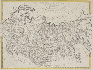
Antique map of Russia and Asiatica
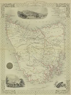
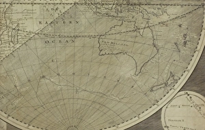
Antique map of Van Diemen Island off Australia with vignettes
Antique map of Tabula Chersones
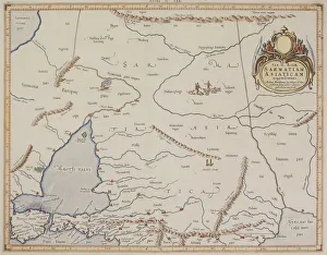
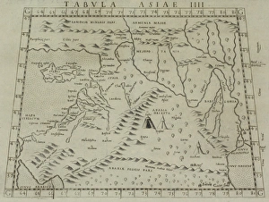
Antique map of Sarmatiam Asiaticam
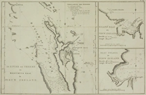
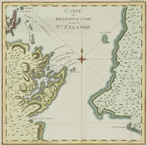
Antique charts of New Zealand
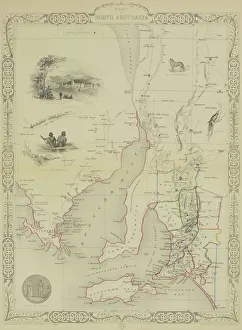
Antique map of South Australia with vignettes
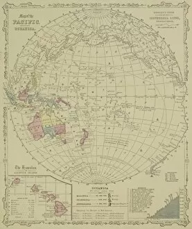
Antique map of Pacific Oceanica with inset of islands
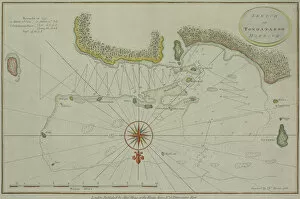
Antique map of Tongataboo in the South Pacific
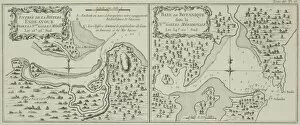
Antique maps of Botany Bay and Endeavour River in Australia
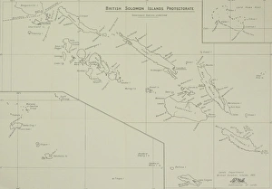
Antique map of British Solomon Islands Protectorate
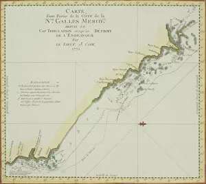
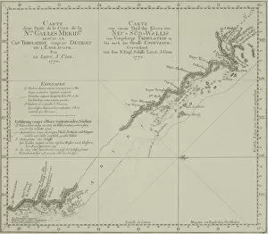
Antique map of coast of southeast Australia
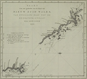
Antique map of New South Wales in Australia
Antique map of New Zealand
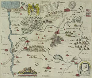
Antique map of the holy land
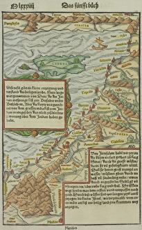
Antique map of northwest Jordan with Sea of Galilee
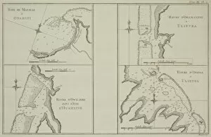
Antique maps of Tahiti and other South Pacific islands
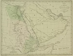
Antique map of Arabia and adjacent Africa and Persia
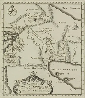
Antique map of the Middle East
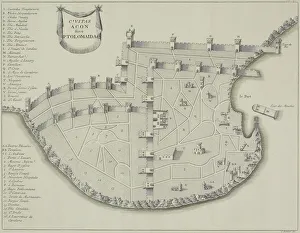
Antique map of fortified city of Ptolemaida
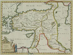
Antique map of Turkey in Asia
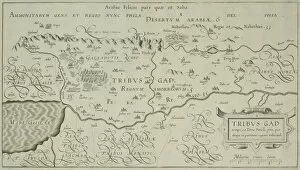
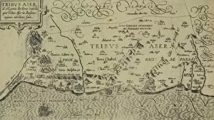
Antique map of tribes of Aser in the holy land
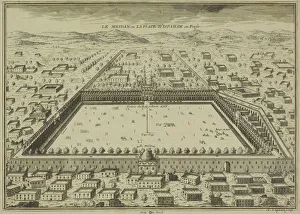
Antique print of plans for town of Isfahan in Iran
Antique map of Indian Ocean in southern hemisphere
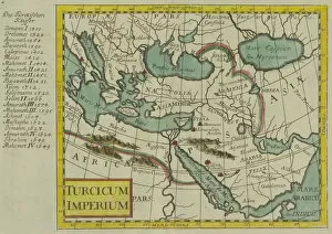
Antique map of the Turkish Empire
Antique map of Palestine
Antique map of coast of New South Wales in Australia
Antique map of coast of present day Lebanon and Syria
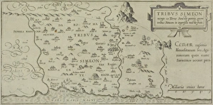
Antique map showing distribution of Simeon tribe in the holy land
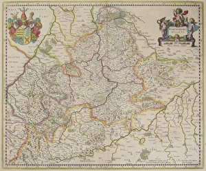
Antique map of Wirtenberg in Germany
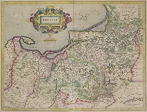
Antique map of Prussia
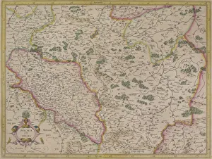
Antique map of present day Poland and Hungary
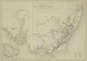
Antique map of New South Wales in Australia with inset
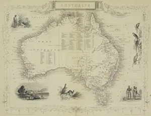
Antique map of Australia with vignettes
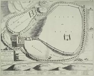
Antique plan of Jerusalem, Israel
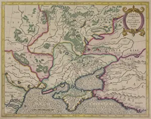
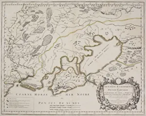
Antique map of Petite Tartarie north of the Black Sea
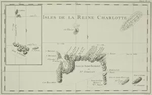
Antique map of the Queen Charlotte Islands off Australia
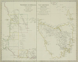
Paired antique maps of Western Australia and Van Diemen Island