mail_outline sales@mediastorehouse.com
3,678 items
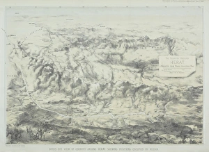
Antique engraving depicting birds eye view of country around Herat showing positions occupied by Russia
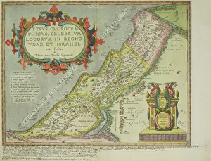
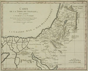
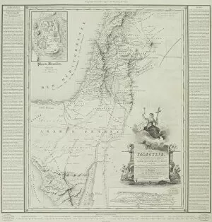
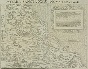
Antique map of the holy land
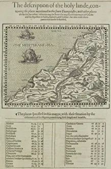
Antique map of the holy land with table of data
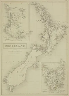
Antique map of New Zealand
Antique map of the Gulf of Suez with Egypt and Israel
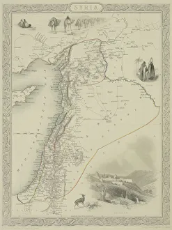
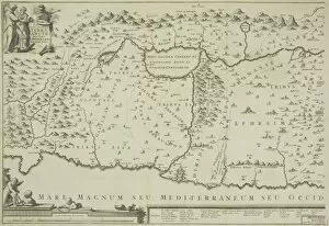
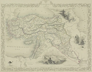
Antique map of Syria
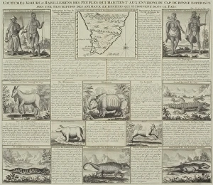
Antique document and map
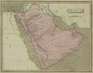
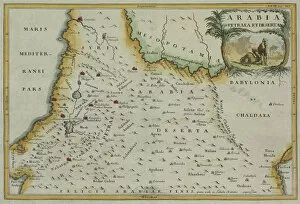
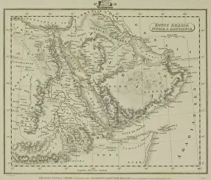
Antique map of Arabia with Egypt, Nubia, and Abyssinia
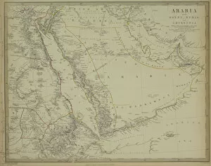
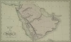
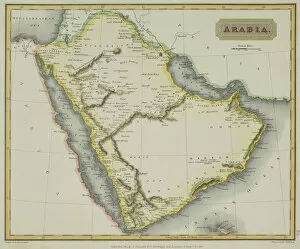
Antique map of Arabia
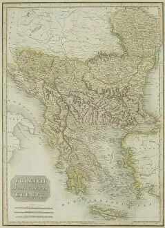
Antique map of Turkish dominions in Europe
Antique map of Israel
Antique map of the holy land with the Sea of Galilee
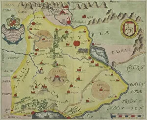
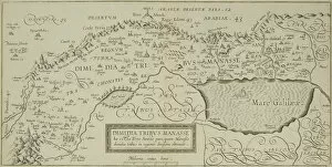
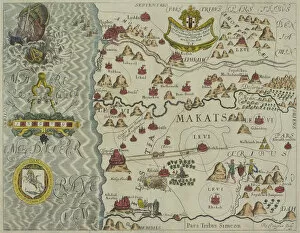
Antique map of tribes in the holy land
Antique map of Turkey and the Black Sea
Antique map of holy land with Nile River Delta
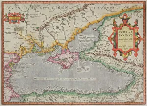
Antique map of the Black Sea and surrounding lands
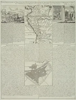
Antique map of Peru and Ecuador with plans for Lima
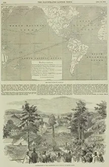
Page from the Illustrated London News with map
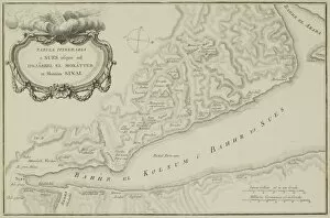
Antique map of the Gulf of Suez and Mount Sinai
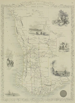
Antique map of Western Australia and the Swan River
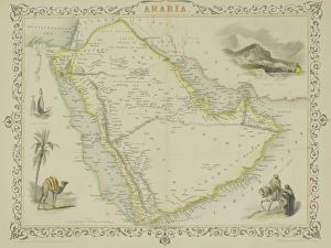
Antique map of Arabia with vignettes
Antique map of Middle East with Arabia, Egypt, Nubia, and Abyssinia
Antique map of the holy land of Sinai peninsula
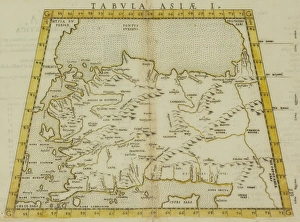
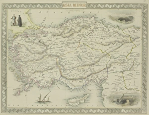
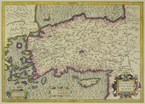
Antique map of Asia Minor
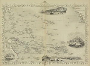
Antique map of Polynesia with vignettes
Antique maps of New Zealand
Antique map of Turkey with vignettes
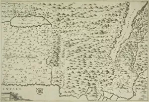
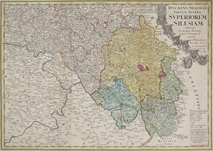
Antique map of Silesia
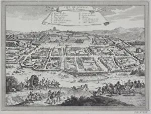
Antique print of city of Loango in the Congo, Africa
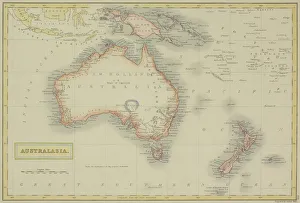
Antique map of Australasia
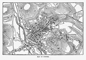
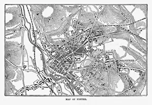
Map of Exeter in Devon, England Victorian Engraving, 1840Very Rare, Beautifully Illustrated Antique Engraving of Map of Exeter in Devon, England Victorian Engraving, 1840. Source: Original edition from my own archives
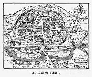
Old Plan of Exeter in Devon, England Victorian Engraving, 1840Very Rare, Beautifully Illustrated Antique Engraving of Old Plan of Exeter in Devon, England Victorian Engraving, 1840. Source: Original edition from my own archives
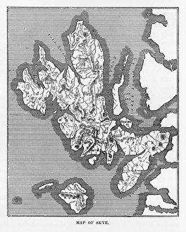
Map of the Isle of Skye, Scotland Victorian Engraving, 1840Very Rare, Beautifully Illustrated Antique Engraving of Map of the Isle of Skye, Scotland Victorian Engraving, 1840. Source: Original edition from my own archives
Plan of Leeds (Victorian engraving)A 19th century plan of Leeds in Yorkshire, England. From Our Own Country: Descriptive, Historical, Pictoriala published by Cassell & Co Ltd, 1885
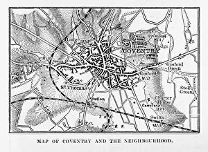
Map of Coventry in Warwickshire, England Victorian Engraving, 1840Very Rare, Beautifully Illustrated Antique Engraving of Map of Coventry in Warwickshire, England Victorian Engraving, 1840. Source: Original edition from my own archives
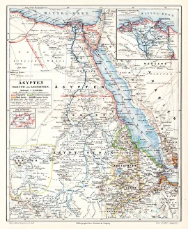
Egypt Darfur Abyssinian map 1895Meyers Konversations-Lexikon. Ein Nachschlagewerk des allgemeinen Wissens, 5th edition 17 volumes Bibliographisches Institut - Leipzig 1895-1897
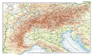
Alps geological map 1895Meyers Konversations-Lexikon. Ein Nachschlagewerk des allgemeinen Wissens, 5th edition 17 volumes Bibliographisches Institut - Leipzig 1895-1897
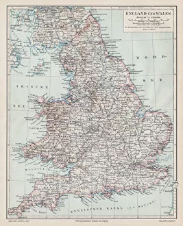
England and wales map 1895Meyers Konversations-Lexikon. Ein Nachschlagewerk des allgemeinen Wissens, 5th edition 17 volumes Bibliographisches Institut - Leipzig 1895-1897
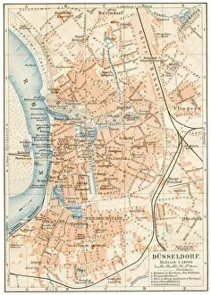
DAOEsseldorf map 1895Meyers Konversations-Lexikon. Ein Nachschlagewerk des allgemeinen Wissens, 5th edition 17 volumes Bibliographisches Institut - Leipzig 1895-1897