mail_outline sales@mediastorehouse.com
91 items
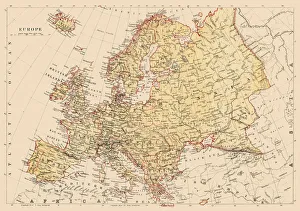
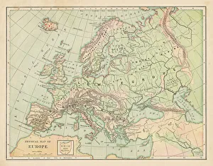
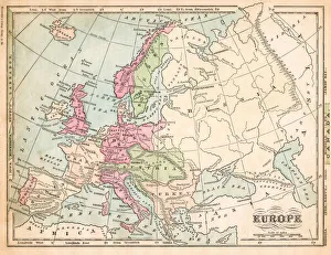
Map of Europe 1889Indiana Educational Series The Complete Geography - Indianapolis 1889
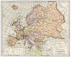
Map of Europe 1881Encyclopedia Britannica 9th Edition Vol XII Philadelphia j.M. Stoddart & Co 1881
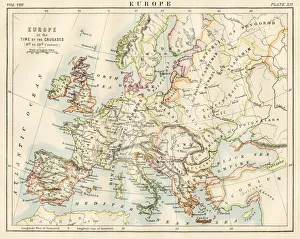
Europe time of the crusadesEncyclopedia Britannica 9th Edition Vol XII Philadelphia j.M. Stoddart & Co 1881
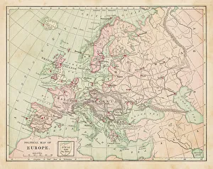
Europe map 1881Harpers School Geography, New York, Harpers and Brothers, 1881
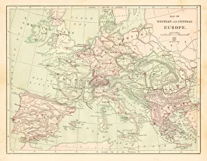
Western and Central Europe map 1881Harpers School Geography, New York, Harpers and Brothers, 1881
antique, archival, baltic, border, cartography, denmark, document, europe, european, finland, geography, historic, historical, latitude, longitude, map, nobody, north, norway, region, scale
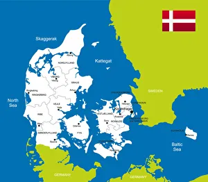
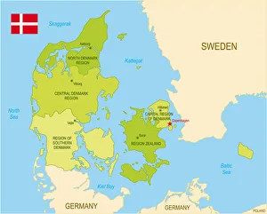
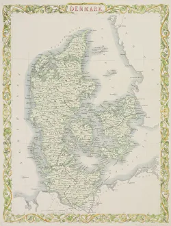
Map of DenmarkDetailed map of Denmark
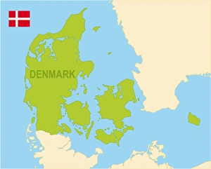
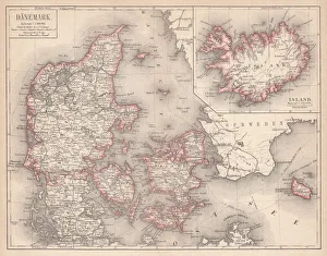
Denmark
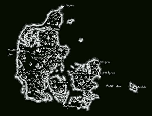
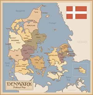
DenmarkCartoon map of Denmark
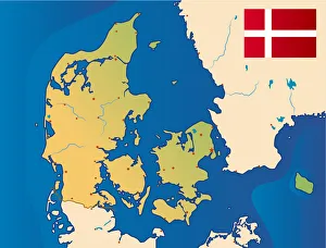
Denmark mapIllustration o f a Denmark map
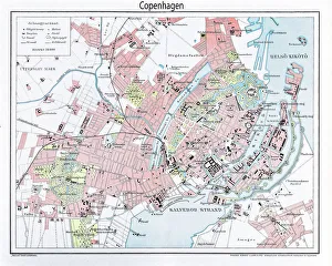
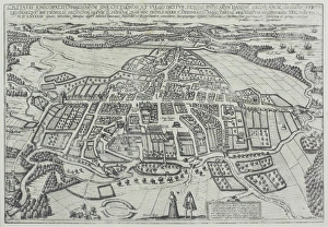
Engraving: Map of Copenhagen from 1895illustration of a Engraving: Map of Copenhagen from 1895
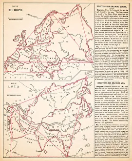
Map of Europe and asia 1883Warrens Common School Geography
Map of Europe 1883Warrens Common School Geography
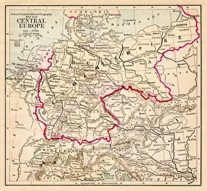
Central Europe map 1881Coltons Common School Geography 1881 New York Sheldon and Co
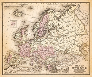
Europe map 1881Coltons Common School Geography 1881 New York Sheldon and Co
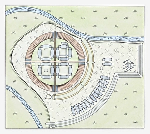
Illustration of layout of the Trelleborg fortress, Sjaelland, Denmark
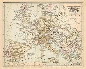
Victorian Map of EuropeEngraved illustrations of Europe in the Time of Charlemagne from Iconographic Encyclopedia of Science, Literature and Art, Published in 1851. Copyright has expired on this artwork. Digitally restored
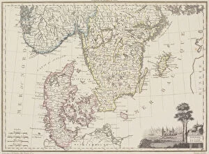
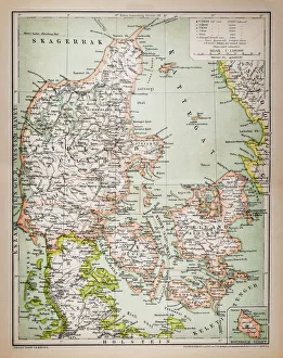
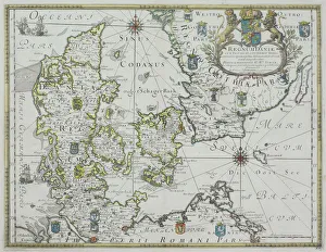
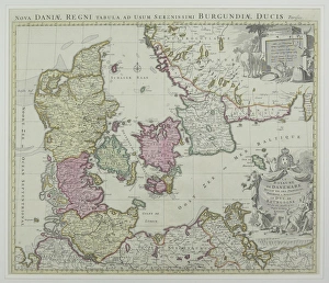
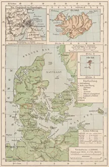
Map of Denmark and Iceland, lithograph, published in 1875Map of Denmark and Iceland. Lithograph, published in 1875
Antique Denmark MapDenmark Map, - Antique style. Includes mountains and water bodies. High detail - vector illustration
Europe map 1875The Independent Course Comprehensive Geography by James Monteith, A.S. Barnes & Co, New York & Chicago 1875
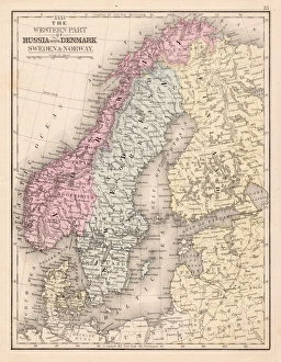
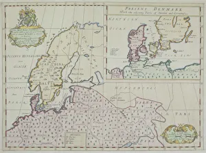
Denmark Sweden Norway map 1867Mitchellas Modern Atlas - Published by E.H. Butler and Co - Philadelphia 1867
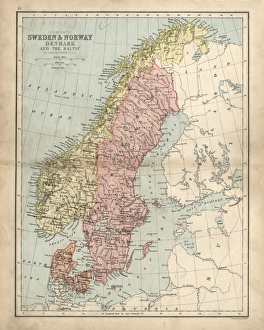
Antique damaged map of Swden Norway Denmark 19th Century
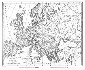
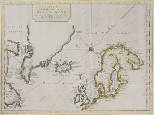
Map of Baltic Sea and Europe
Map of Denmark
Map of Odense, Denmark
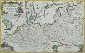
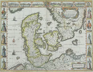
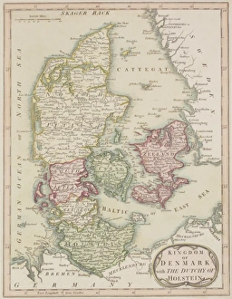
Map of Denmark with Germaine Ocean
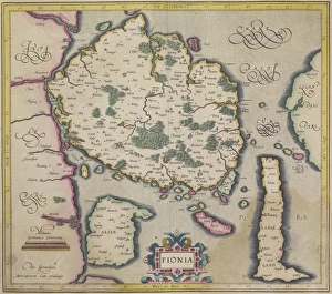
Antique map of island of Fionia in Denmark
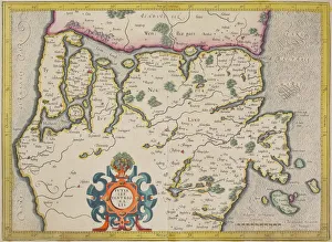
Antique map of Denmark and vicinity
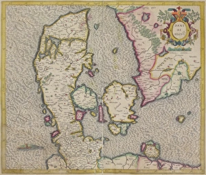
Antique map of Denmark
Antique map of Scandinavian region with Iceland and Greenland
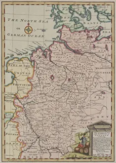
Antique map of Germany
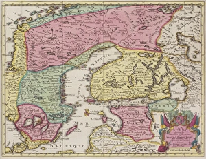
Antique map of Sweden and adjacent countries
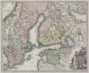
Antique map of Scandinavian region
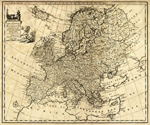
Antique Map of Europe 1744An engraved map of Europe with ornamental cartouche and relief shown pictorially by Emanuel Bowen 1744, London, Geographer to His Majesty
Map of Denmark and Iceland, lithograph, published in 1881Topographic map of Denmark and Iceland. Facsimile, published in 1881
Vintage Map of DenmarkDenmark - Retro Map
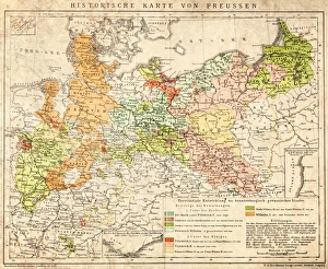
Prussia historical mapIllustration of a Prussia historical development map