Home > Map > Historical Maps

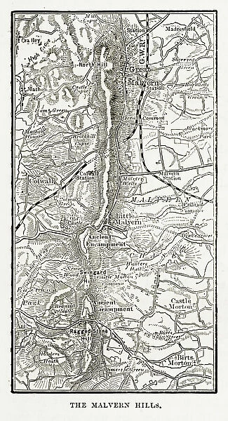
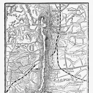
Map of Malvern Hills in Worcestershire, England Victorian Engraving, 1840

Map of Malvern Hills in Worcestershire, England Victorian Engraving, 1840


Cards
Home Decor
Mounted Prints
Canvas Prints
Fine Art Prints
Metal Prints


We accept all major credit cards

Wall Art and Photo Gifts from Fine Art Storehouse

Map of Malvern Hills in Worcestershire, England Victorian Engraving, 1840

Very Rare, Beautifully Illustrated Antique Engraving of Map of Malvern Hills in Worcestershire, England Victorian Engraving, 1840. Source: Original edition from my own archives. Copyright has expired on this artwork. Digitally restored

bauhaus1000

Media ID 14756210

© This content is subject to copyright


FEATURES IN THESE COLLECTIONS

> Map > Historical Maps

> Map


MADE IN THE UK
Safe Shipping with 30 Day Money Back Guarantee

FREE PERSONALISATION*
We are proud to offer a range of customisation features including Personalised Captions, Color Filters and Picture Zoom Tools

SECURE PAYMENTS
We happily accept a wide range of payment options so you can pay for the things you need in the way that is most convenient for you

* Options may vary by product and licensing agreement. Zoomed Pictures can be adjusted in the Basket.

redeem
Beautiful Photo Prints and Gifts
image
Professionally Printed
inventory
Photo Prints are in stock
thumb_up
Professional quality finish
diamond
Made with high-grade materials
inventory_2
Carefully packed to aid safe arrival


Related Images


Map of Malvern Hills in Worcestershire, England Victorian Engraving, 1840
Earth map according to Herodotus
The Sleeping Congregation, William Hogarth
William Hogarth Four Times of the Day - Morning
Charles Dickens Sketches by Boz He raised his manacled hands
Simple UK map
Simple UK map
Antique Map of Austria Empire Late 19th Century
Romania, Bulgaria map
Map of Middle East - illustration
British aircraft carrier HMS Ark Royal
Greece at the beginning of the Peloponnesian War (431-404 BC)
Great Britain and Ireland map 1867

+

Shipping

+

Choices

+

Guaranteed