Home > Map
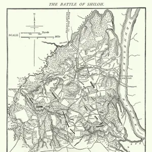
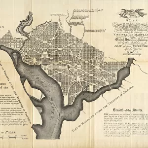
Plan of the Siege of Charleston, American Revolutionary War

![]()
Wall Art and Photo Gifts from Fine Art Storehouse
Plan of the Siege of Charleston, American Revolutionary War
Vintage engraving of a Plan of the Siege of Charleston a major engagement and major British victory, fought between March 29 to May 12, 1780 during the American Revolutionary War
duncan1890
Media ID 19684471
© of Duncan P Walker
FEATURES IN THESE COLLECTIONS
> History
> Battles & Wars
> Historcal Battle Maps and Plans
> Map
> Historical Maps
> Map
MADE IN THE UK
Safe Shipping with 30 Day Money Back Guarantee
FREE PERSONALISATION*
We are proud to offer a range of customisation features including Personalised Captions, Color Filters and Picture Zoom Tools
SECURE PAYMENTS
We happily accept a wide range of payment options so you can pay for the things you need in the way that is most convenient for you
* Options may vary by product and licensing agreement. Zoomed Pictures can be adjusted in the Basket.