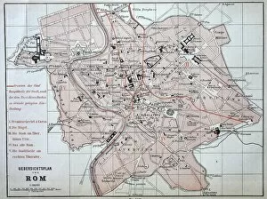
City map of Rome from 1880, Italy, digitally restored reproduction of an original 19th century template
1900s, 19th-century, accurate, archive, atlas, atlases, attraction, attractions, black, black-and-white, black-white, central italy, character, city maps, concept, concept image, contemporary, copy
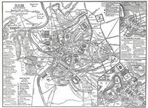
City map of Rome from the time of the Roman Emperors, Emperor Augustus, Italy, Historical
1900s, 19th-century, accurate, altertum, ancient civilizations, ancient times, ancient world, antiquity, archive, atlas, atlases, attraction, attractions, augustus, black, black-and-white
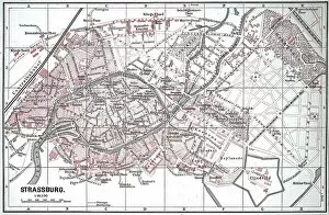
City map of Strasbourg in 1885, France, Historic, digitally restored reproduction of a 19th century original
1900s, 19th-century, accurate, alsace-champagne-ardenne-lorraine, archive, atlas, atlases, black, black-and-white, black-white, character, city maps, concept, concept image, contemporary, copy
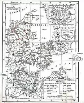
Map of Denmark and Prussian Province of Schleswig-Holstein circa 1890, Germany, Historical
1900s, 19th-century, accurate, archive, atlas, atlases, black, black-and-white, black-white, character, concept, concept image, contemporary, copy, danish, depiction, depictions, deserted, digital
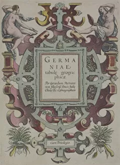
16th century, antique, archival, atlas, book, cartouche, cover, design, elegant, embellishments, engraving, fancy, figures, frontispiece, geography, gerard mercator, germaniae tabule geographicae
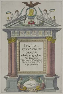
16th century, antique, art, atlas, book, cherubs, columns, cover, eagle, engraving, et graeciae tabule geographice, figures, frontispiece, geography, gerard mercator, historic, history