mail_outline sales@mediastorehouse.com
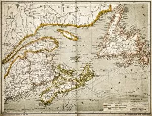
Eastern Canada and NewfoundlandIllustration of a Eastern Canada and Newfoundland
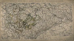
Kingdom of Saxony, province of Saxony (southern part) and Thuringian states
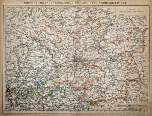
Province of Brandenburg, province of Saxony, northern partAntique illustration of a Province of Brandenburg, province of Saxony, northern part
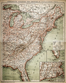
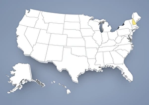
United States of America, eastern partAntique illustration of a United States of America, eastern part
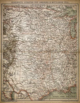
United States of America, Middle sectionAntique illustration of a United States of America, Middle section
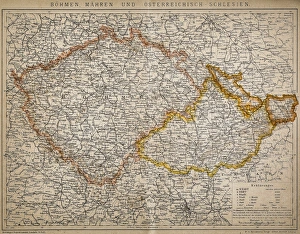
Bohemia, Moravia and Austro - SilesiaAntique illustration of a Bohemia, Moravia and Austro - Silesia
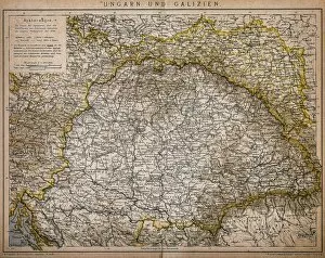
Hungary and GaliciaAntique Illustration map of a Hungary and Galicia
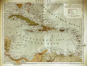
West indies, Antilles mapIllustration of a West indies, Antilles map
United States of America mapAntique illustration of a United States of America map
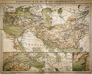
Map of Alexanders empire and conquestsAntique illustration Map of Alexanders empire and conquests
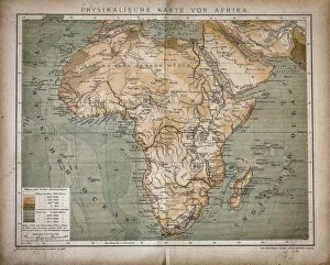
Map of AfricaAntique illustration of a map of Africa
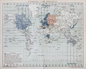
Local time world mapAntique illustration of a local time world map
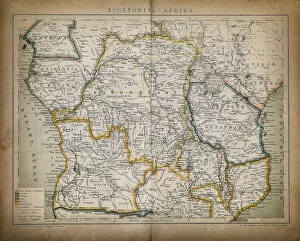
Equatorial AfricaAntique illustration of a equatorial Africa
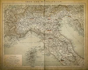
Upper and Central ItalyAntique illustration of a Upper and Central Italy
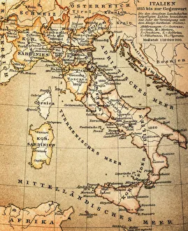
ItalyAntique illustration of Italy
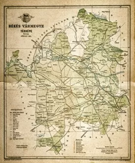
Bekes mapIllustration of a Bekes map
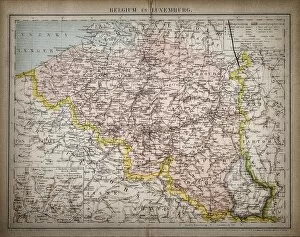
Belgium and LuxembourgAntique illustration map of Belgium and Luxembourg
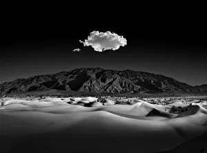
Moonlight SerenadeMesquite dunes of death valley with the Amargosa Mountains in the distance. Curves, patterns, and shadows captured and contrasted in the moonlight
Wisconsin State Capitol - Capital in Spring, surrounded by a sea of blooming tulips
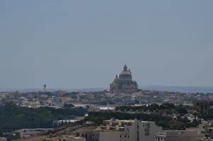
View of Victoria town in Gozo, Malta
Shape and national flag of the United States of America, USA, levitating, 3D computer graphics
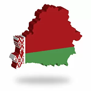
Shape and national flag of the Republic of Belarus, levitating, 3D computer graphics
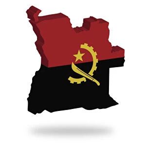
Shape and national flag of Angola, levitating, 3D computer graphics
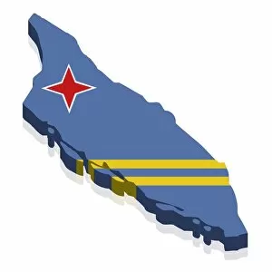
Shape and national flag of Aruba, 3D computer graphics
Shape and national flag of Albania, levitating, 3D computer graphics
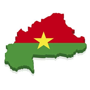
Shape and national flag of Burkina Faso, 3D computer graphics
Shape and national flag of Bahrain, 3D computer graphics
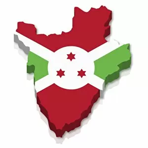
Shape and national flag of Burundi, 3D computer graphics
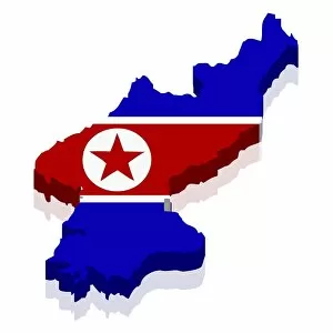
Shape and national flag of North Korea, 3D computer graphics
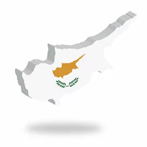
Shape and national flag of the Republic of Cyprus, levitating, 3D computer graphics
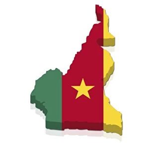
Shape and national flag of Cameroon, 3D computer graphics
North Carolina, NC, highlighted on a contour map of USA, United States of America, 3D illustration
State of New York, NY, highlighted on a contour map of USA, United States of America, 3D illustration
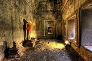
Headless Buddha Statue in Angkor Wat Temple, Siem Reap, Cambodia
Fountain tail, GoiAas, BrazilTail fountain built in 1778 is located in Brazil Fallen Square in the city of Goias, State of Goias. It is the only fountain of Syrup of Brazil
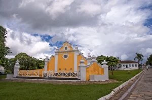
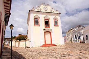
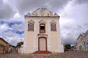
Church of Our Lady of the Good DeathChurch of the Good Death with Baroque architecture in the historical city of GoiAas, state of GoiAas, Brazil
Church of Our Lady of the Good Death, GoiAasChurch of the Good Death with Baroque architecture in the historical city of GoiAas, state of GoiAas, Brazil
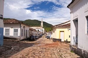
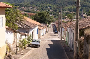
Street of GoiAas BrazilView of street with paving stone city of Goias, State of Goias. Brazil
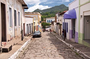
City street Goias BrazilStreet view of the historical city of Goias in the state of Goias, Brazil
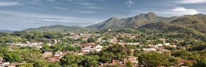
View of the city of Goias BrazilPanoramic View of the city of Goias, State of Goias. Brazil.Vista Panoramica da cidade de Goias, no estado do Goias. Brasil
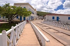
The Bridge on the Red River Goias BrazilView of the Red River Bridge over the Red River that crosses the city of Goias, State of Goias, Brazil.Vista da ponte do Rio Vermelho sobre o Rio Vermelho que cruza a cidade do Goias
Historica city of Goias BrazilStreet view of the historical city in the state of Goias Goias, Brazil.Vista de rua da cidade histAorica Goias no estado de GoiAas, Brasil
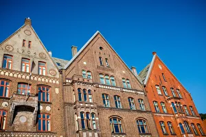
Bratten building at Bryggen street, part of UNESCO World Heritage Site from a low angle view with clear blue sky in the background
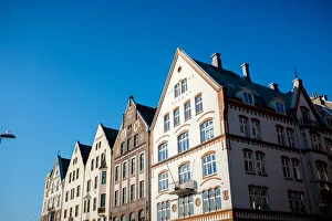
Bryggen streetBuildings at Bryggen street, part of UNESCO World Heritage Site from a low angle view with clear blue sky in the background
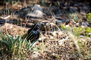
Canyon RavenPicture taken of a raven at the Grand Canyon
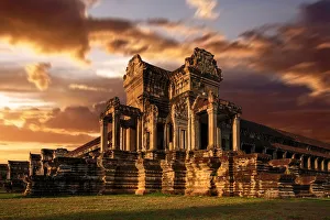
The Eastern Wing Of Angkor Wat, Siem Reap, Cambodia