mail_outline sales@mediastorehouse.com
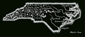
Antique North Carolina
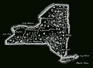
Antique New York StateNew York State Map, - Antique style. Includes mountains and water bodies. High detail - vector illustration
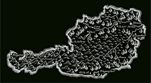
Antique AustriaAustria Map, - Antique style. Includes mountains and water bodies. High detail - vector illustration
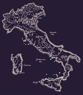
Antique ItalyItaly Map, - Antique style. Includes mountains and water bodies. High detail - vector illustration
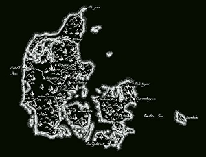
Antique Denmark MapDenmark Map, - Antique style. Includes mountains and water bodies. High detail - vector illustration
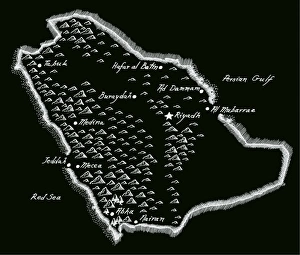
Antique Saudi ArabiaSaudi Arabia Map, - Antique style. Includes mountains and water bodies. High detail - vector illustration
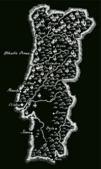
Antique PortugalPortugal Map, - Antique style. Includes mountains and water bodies. High detail - vector illustration
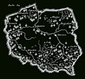
Antique PolandPoland Map, - Antique style. Includes mountains and water bodies. High detail - vector illustration
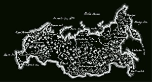
Antique RussiaRussia Map, - Antique style. Includes mountains and water bodies. High detail - vector illustration
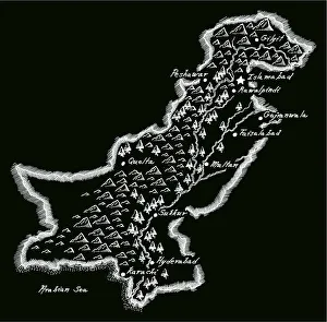
Antique PakistanPakistan Map, - Antique style. Includes mountains and water bodies. High detail - vector illustration
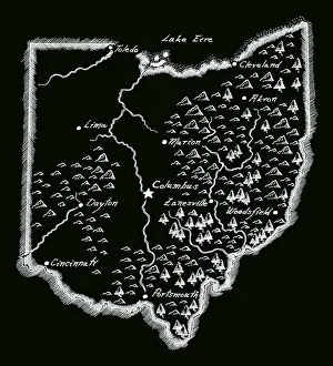
Antique OhioOhio Map, - Antique style. Includes mountains and water bodies. High detail - vector illustration
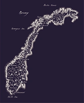
Antique NorwayNorway Map, - Antique style. Includes mountains and water bodies. High detail - vector illustration
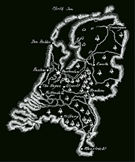
Antique NetherlandsNetherlands Map, - Antique style. Includes mountains and water bodies. High detail - vector illustration
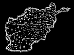
Antique AfghanistanAfghanistan Map, - Antique style. Includes mountains and water bodies. High detail - vector illustration
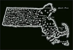
Antique Massachusetts
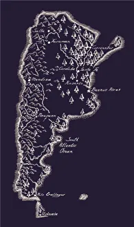
Antique ArgentinaArgentina Map, - Antique style. Includes mountains and water bodies. High detail - vector illustration
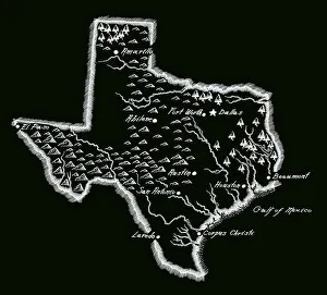
Antique Texas MapTexas Map, - Antique style. Includes mountains and water bodies. High detail - vector illustration
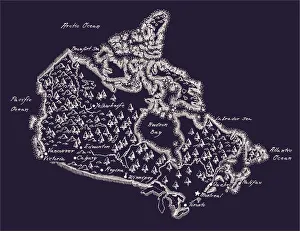
Antique Canada MapCanada Map, - Antique style. Includes mountains and water bodies. High detail. - vector illustration
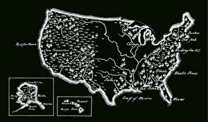
Antique USA MapUSA Map, - Antique style. Includes mountains and water bodies. - vector illustration
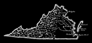
Antique Virginia MapVirginia Map, - Antique style. Includes mountains and water bodies. - vector illustration
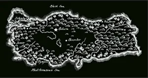
Antique Turkey MapTurkey Map, - Antique style. Includes mountains and water bodies. - vector illustration
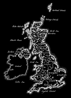
Antique UK MapUK Map, - Antique style. Includes mountains and water bodies. High detail. - vector illustration
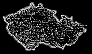
Antique Czech RepublicCzech Republic Map, - Antique style. Includes mountains and water bodies. High detail. - vector illustration
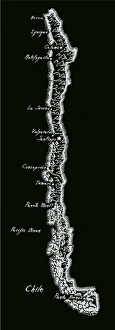
Antique ChileChile Map, - Antique style. Includes mountains and water bodies. High detail - vector illustration
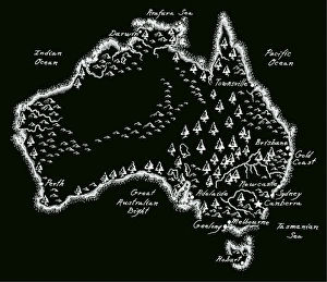
Antique AustraliaAustralia Map, - Antique style. Includes mountains and water bodies. High detail - vector illustration
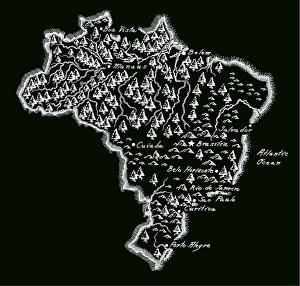
Antique BrazilBrazil Map, - Antique style. Includes mountains and water bodies. High detail - vector illustration
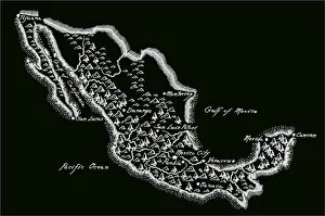
Antique MexicoMexico Map, - Antique style. Includes mountains and water bodies. High detail - vector illustration
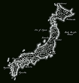
Antique JapanJapan Map, - Antique style. Includes mountains and water bodies. High detail - vector illustration
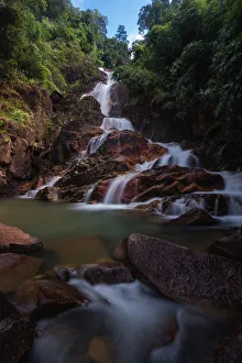
Chanthaburi Krating WaterfallTonnaja Travel Photography, 534527583
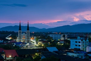
The Catholic Church of Chanthaburi, ThailandTonnaja Travel Photography, 534527597
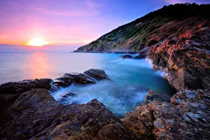
Sunset Khao laem ya national parkKhao Laem Ya - Mu Ko Samet is a Thai marine national park in the Gulf of Thailand off the coastline of the Thai province of Rayong
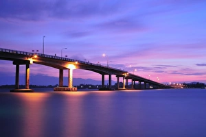
Laem Singh Bridge, ChantaburiLaem Singh Bridge is the important bridge. It can help to connect land to land in Chantaburi provice for faster traffic
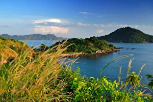
The viewpoint of east coast of ThailandNennangphraya is the name of famous viewpoint of east coast of the Gulf of Siam. It is located in Chataburi province
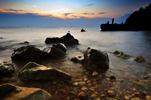
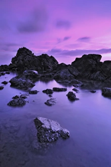
Seascape of east coast, ThailandAlong the coast in the east province of Thailand has many nice rocks and beach
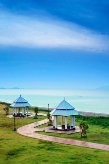
The two pavilions with the clear skyThe two pavilions beside the east road that head to Chantaburi provice from Rayong Province. This road is the green road
Smooth sea and rocksSeascape of east coast, Thailand. Along the coast in the east province of Thailand has many nice rocks and beach
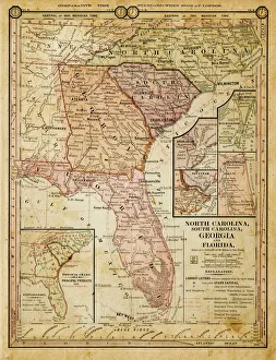
usa - southern states 1884map of north carolina, south carolina, georgia and florida 1884
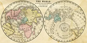
Map of the world horizontal projection 1856Colton and Fitchs Modern School Geography by George W. Fitch - New York 1856
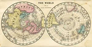
Polar projection of the world map 1856Colton and Fitchs Modern School Geography by George W. Fitch - New York 1856
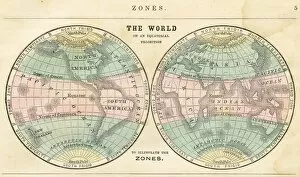
Map of the world in zones 1856Colton and Fitchs Modern School Geography by George W. Fitch - New York 1856
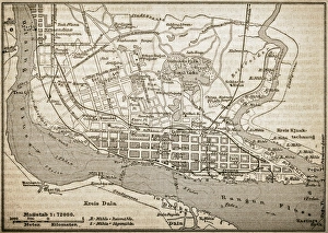
RangoonAntique illustration of Rangoon
St. Sophia Church, east sideAntique illustration of a St. Sophia Church east side
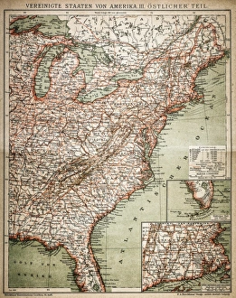
United States of America, eastern partAntique illustration of a United States of America, eastern part
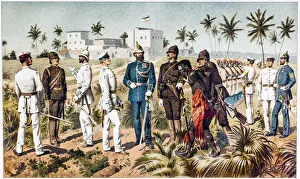
Uniforming of the protective group for German East AfricaAntique illustration of a Uniforming of the protective group for German East Africa
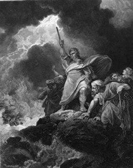
The Destruction Of the Pharoahs HostEngraving, titled The Destruction Of the Pharoahs Host, shows a scene from the Bible (Exodus XIV: 27) where Moses commands the Red Sea to return (following its parting)
East Nanjing main shopping road at night, Shanghai, ChinaEast Nanjing road at night crowded with people, Shanghai, China
Mount Hood and Morrison Bridge Over Willamette river in Portland Oregon during sunrise