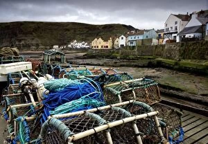
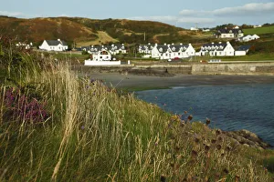
Staithes, Yorkshire, England; Fishing supplies on a dock
industry:CB2, marine scene:CB2, vacation:CB2, pier:CB2, village:CB2, rope:CB2, outdoors:CB2, short:CB2, building:CB2, fishing:CB2, nobody:CB1, harbor:CB2, marina:CB2, net:CB2, European Union:CB2
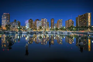
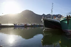
boat, clear sky, color image, colour image, dusk, harbor, horizontal, hout bay, landscape
boat, clear sky, color image, colour image, dusk, harbor, horizontal, h, Gallo Landscapes, 145081937
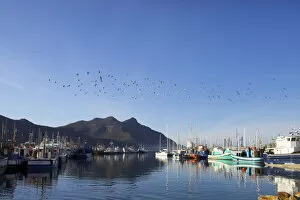
boat, clear sky, color image, colour image, day, daytime, harbor, horizontal, hout bay
boat, clear sky, color image, colour image, day, daytime, harbor, horiz, Gallo Landscapes, 145081935
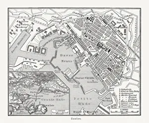
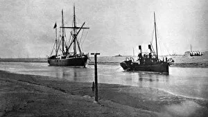
521, antique, black & white, boats, body of water, canal, harbor, historical, nostalgic
521, antique, black & white, boats, body of water, canal, harbor, histo, Vintage Black & White, 86539185