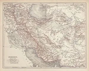
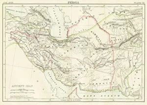
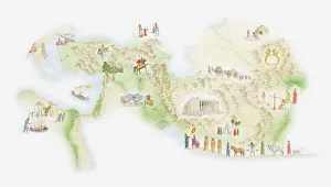
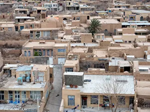
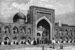
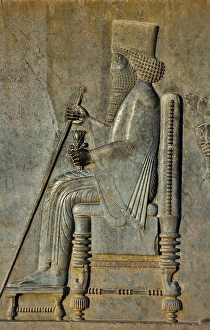
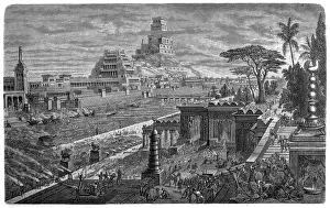
Illustration of people, customs, artefacts, monuments from ancient civilisations and indigenous cultures around the world, including Ancient Egypt, Ancient Greece, Persia, Phoenicia, Inca, Maya, Aztec
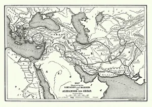
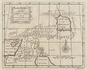
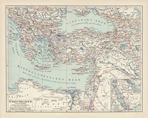
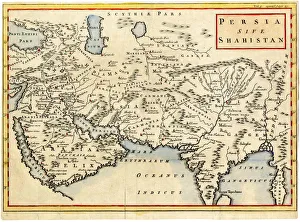
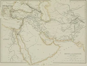
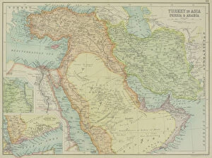
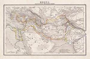
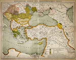
Antique map of the Empire of Alexander the Great
afghanistan, antique, arabia, arabian, azerbijan, black, border, cartography, caspian, coordinates, countries, document, empire of alexander the great, geography, historic, historical, iran, iraq
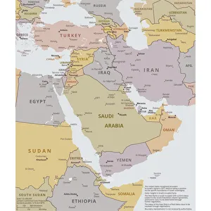
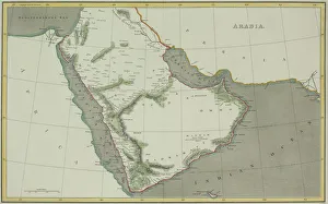
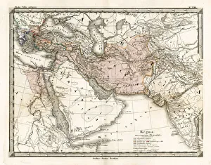
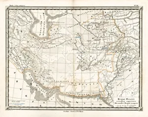
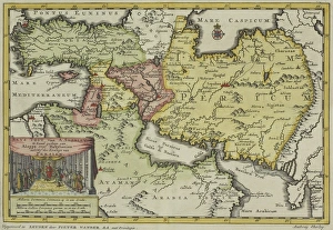
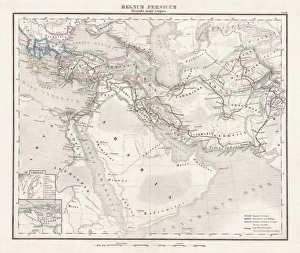
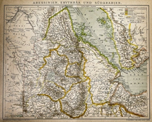
arabia, archival, asia, border, cartography, caspian sea, coordinates, document, geography, historic, historical, insets, iran, iraq, israel, jordan, latitude, legend, longitude, map, mediterranean