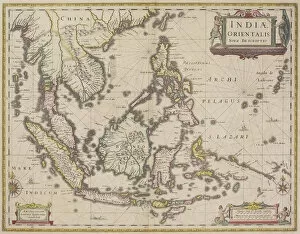
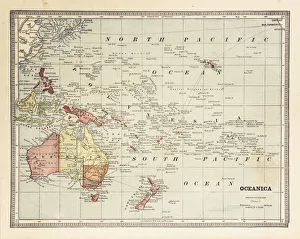
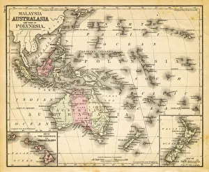
antique, archival, border, burma, cambodia, cartography, country, document, geography, historic, historical, india orientalis, indian ocean, indonesia, islands, latitude, legend, longitude, malaysia
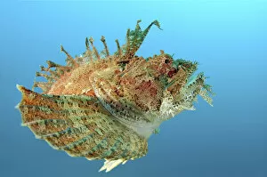
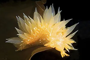
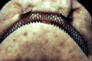
Pacific Ocean, California, San Clemente Island kw: dental, rows, pointed
Pacific Ocean, California, San Clemente Island kw: dental, rows, po, Jeff Rotman Underwater Photography, 10195804