mail_outline sales@mediastorehouse.com
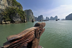
Dragon on a junk, Halong Bay, Vietnam, Southeast Asia
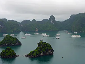
Cruise ships in Halong Bay, VietnamA mix of steamship and junk-style cruise ships crowds around Titop Island in Halong Bay, Vietnam
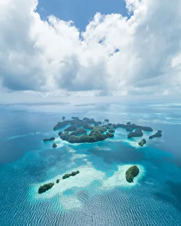
Aerial view of tropical paradise islands, PalauHelicopter flight over tropical rock islands with coral reef, 70 Islands of Palau (UNESCO World Natural Heritage site)
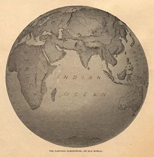
Old, Black and White Illustration of Eastern Hemisphere, From 1800 sOld black and white illustration of the Old World (Eastern Hemisphere), from 1875
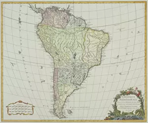
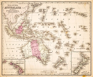
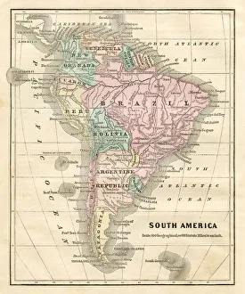
antiquity, archival, atlantic ocean, cartography, colonialism, continent, geographical, geography, historic, latitude, longitude, map, new world, nobody, old-fashioned, pacific ocean, south america
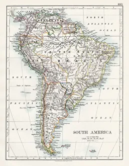
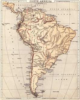
South America map 1897The World-Wide Atlas of Modern Geography, Political and Physical W. & A.K. Johnston - London 1897
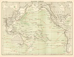
Pacific ocean map 1885Encyclopedia Britannica 9th Edition New York Charles Scribners and Sons 1885 Vol XVIII
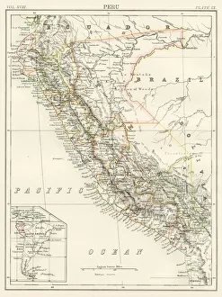
Peru map 1885Encyclopedia Britannica 9th Edition New York Charles Scribners and Sons 1885 Vol XVIII
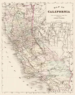
California map 1893Johnsonas Universal Cyclopedia - Charles Kendall - New York 1893 vol 2
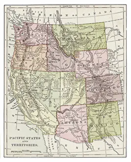
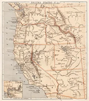
Pacific states 1889Indiana Educational Series The Complete Geography - Indianapolis 1889
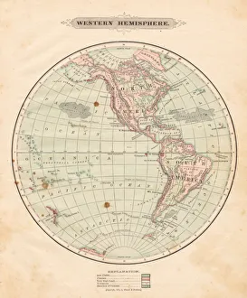
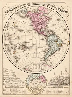
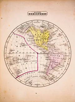
Western Hemisphere map 1881Harpers School Geography, New York, Harpers and Brothers, 1881
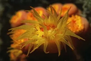
nobody, outdoors, night, one animal, nature, tropical climate, ocean and sea, underwaterPolyps of cup coral feeding at night
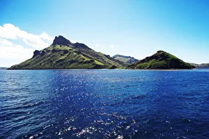
Waya Island, Yasawa Islands, Fiji Islands, Fiji
Wickannish Bay, Vancouver Island, British Columbia, CanadaPacific Rim National Park
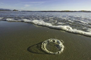
Foam bubbles on sandy beach, BC, CanadaFoam bubbles on sandy beach, fall, Pacific Rim NP, Vancouver Island, British Columbia, Canada
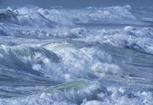
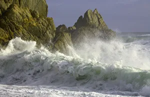
Wave breaking, with sprayWestland, West Coast, South Island, New Zealand
Surfing breaking on beach, dawn, (long exposure, soft)Westland, West Coast, South Island, New Zealand
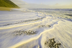
Surf washing up on beach, duskKahurangi NP, South Island, New Zealand
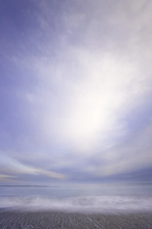
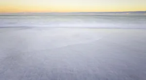
Pacific Ocean and skyOtago, South Island, New Zealand
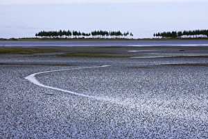
New Zealand, South Island, Golden Bay, mud flats at low tideRow of pines growing on narrow peninsula jutting into Pacifics Golden Bay and mud flats in low tide in winter, South Island, New Zealand
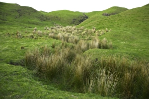
Hilly pasture with tussock grass, duskCape Farewell, South Island, New Zealand
Waves breaking on beach, dawn, (long exposure)West Coast, South Island, New Zealand
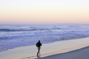
Man running on beach, dawn, (blurred motion)Dunedin, Otago, South Island, New Zealand
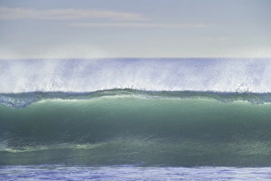
Surf breaking on beach, dawnWest Coast, South Island, new Zealand
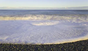
Wave breaking on beach, duskWest Coast, South Island, New Zealand
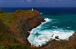
Historic Kilauea lighthouse on north shore of Kauai, Hawaii
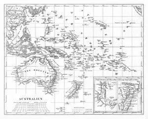
Map of Australia 1883Warrens Common School Geography
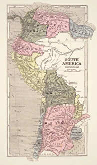
Map of South America 1869Cornells Grammars-School Geography - S.S. Cornell - New York D. Appleton and Company 1869
Western Hemisphere map 1867Mitchells Modern Atlas - Published by E.H. Buttler & Co - Philadelphia 1867
Pacific USA states map 1869Cornells Grammars-School Geography - S.S. Cornell - New York D. Appleton and Company 1869
Map of South America 1855System of Geography for the use of schools by Sidney E. Morse - Published by Harper & Brothers - New York 1855
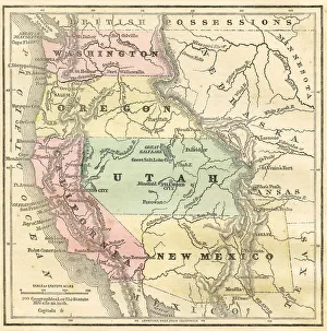
Western Pacific USA states map 1856Colton and Fitchs Modern School Geography by George W. Fitch - New York 1856
Map of South America 1856Colton and Fitchs Modern School Geography by George W. Fitch - New York 1856
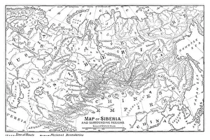
Map of Siberia - scanned 1888 map
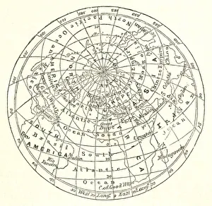
Victorian map of the Arctic CircleA Victorian map of the Arctic Circle and beyond. From Peter Parleyas Annual - A Christmas and New Yearas Present for Young Peoplea published in London by Darton & Co in 1851
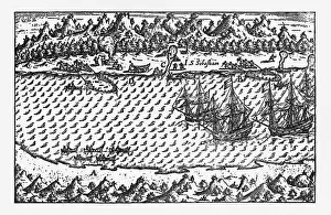
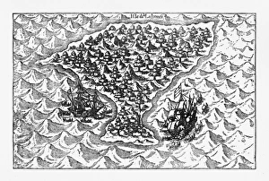
Porto Deseado Historical Map by Van Noort, Circa 1598Very Rare, Beautifully Illustrated Antique Engraved Victorian Illustration of Historical Map of Van Noort at Porto Deseado, 1598. Copyright has expired on this artwork. Digitally restored
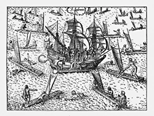
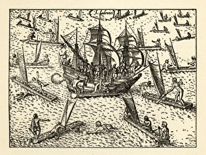
Van Noort Sailing the Marianne Islands, Engraving 1600Very Rare, Beautifully Illustrated Antique Engraved Victorian Illustration of Historical Engraving of Van Noort Sailing the Marianne Islands, 1600. Copyright has expired on this artwork
Theives Attacking Van Noort on the Marianne Islands, 1600Very Rare, Beautifully Illustrated Antique Engraved Victorian Illustration of Historical Engraving of Van Noort Attacked by Thieives on the Marianne Islands, 1600
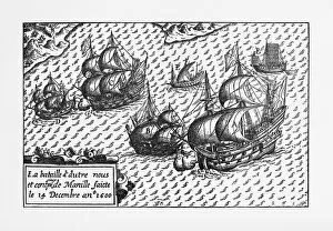
Van Noort Landing in Manila Bay, Philippines Engraving, 1600Very Rare, Beautifully Illustrated Antique Engraved Victorian Illustration of Historical Engraving of Van Noort Landing in Manila Bay, Philippines, 1600. Copyright has expired on this artwork
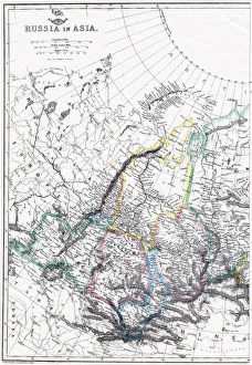
Russia Map, Asian PartPhoto of an original map published in the Weekly Dispatch Atlas in 1846 in London
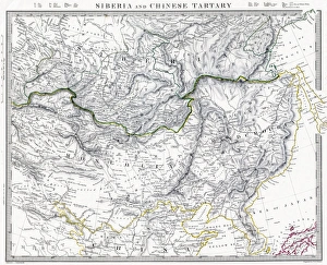
Russian Siberia and Chinese Tartary 1846 MapPhoto of an original map published in the Weekly Dispatch Atlas in 1846 in London
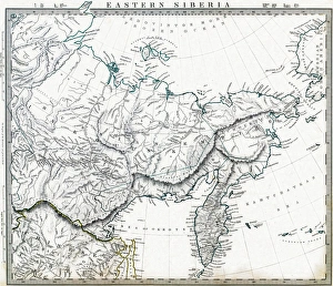
Eastern Russian Siberia 1846 MapPhoto of an original map published in the Weekly Dispatch Atlas in 1846 in London
Van Noort Attacked by Theives on the Marianne Islands, 1600Very Rare, Beautifully Illustrated Antique Engraved Victorian Illustration of Historical Engraving of Van Noort Attacked by Thieives on the Marianne Islands, 1600
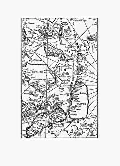
Early Map of Dutch Navigation, Victorian IllustrationVery Rare, Beautifully Illustrated Antique Engraved Victorian Illustration of Early Map of Dutch Navigation. Copyright has expired on this artwork. Digitally restored
Victorian Map of AustraliaEngraved illustrations of the Map of Australia from Iconographic Encyclopedia of Science, Literature and Art, Published in 1851. Copyright has expired on this artwork. Digitally restored
Western Hemisphere 1852 Map
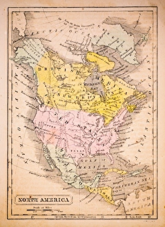
North America 1852 Map
United States 1852 Map