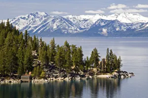
The famous property of the Thunderbird Lodge is framed by Lake Tahoe
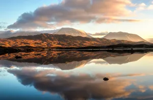
no people, horizontal, outdoors, day, non urban scene, physical geography, landscape, mountain range, snowcapped, forest, tree, rock formation, idyllic, tranquil scene, scenics, beauty in nature