mail_outline sales@mediastorehouse.com
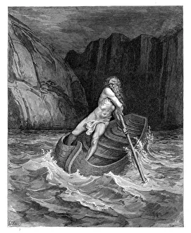
Charon the ferryman engravingCharon the ferryman of Hell engraving by Gustave Dore
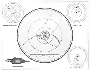
Solar System According to Ptolemy, Copernicus and Tycho, Geocentric Model, Heliocentric Model
Halong Bay in Vietnam
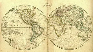
Vintage Map of the WorldVintage map of the world from 1837
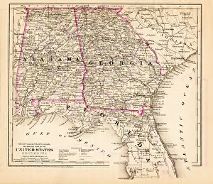
Alabama Florida Georgia map 1881Coltons Common School Geography 1881 New York Sheldon and Co
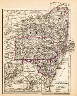
New York Maryland Pennsylvania map 1881Coltons Common School Geography 1881 New York Sheldon and Co
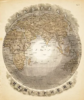
World eastern hemispheres 1883Warrens Common School Geography
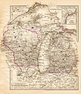
Wisconsin Michigan map 1881Coltons Common School Geography 1881 New York Sheldon and Co
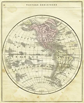
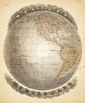
Western Hemisphere map 1856Colton and Fitchs Modern School Geography by George W. Fitch - New York 1856
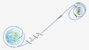
Illustration of Apollo 11 journey from Earth to Moon
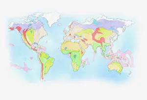
Illustration of Biomes (climatic variation) on world map
World western hemispheres 1883Warrens Common School Geography
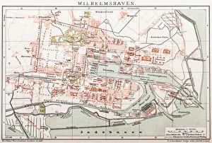
Wilhelmshaven. GermanyAntique illustration of a Wilhelmshaven, Germany map
Landscape Blue AgaveThe Agave Landscape and Ancient Industrial Facilities of Tequila is a cultural UNESCO World Heritage Site in Mexico. The 35, 019 hectare site is part of an expansive landscape of blue agave
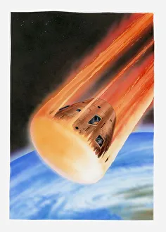
Illustration of Apollo 11 command module entering earths atmosphere
360 View above Stadium Merdeka in Kuala Lumpur, MalaysiaStadium Merdeka is also known as Independence Stadium is located just minutes away from Menara KL Tower in Kuala Lumpur, Malaysia
Save planet earth
Couple walking in the moon watching the planet earthRui Almeida Photography, 635920592
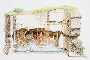
Cave structure, cross-section
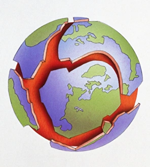
Illustration of Earths tectonic plates
Digital illustration of planet Earth showing continents in green
360 Aerial View of Penang Island, MalaysiaFeast your eyes on the gorgeous 360-degree view of Penang Island, Malaysia from above
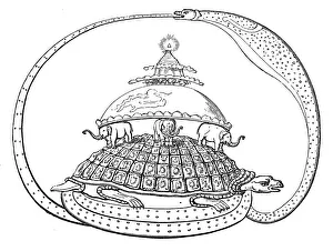
Hindu concept of the universe, showing it encircled by a serpent, the symbol of eternity. Mount Meru represents paradise, earth
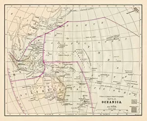
Oceania Australia map 1881Coltons Common School Geography 1881 New York Sheldon and Co
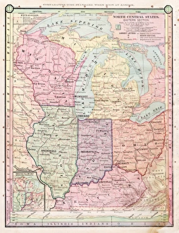
North Central states map 1886North Central states map Maps Monteith Physical Geography 1886
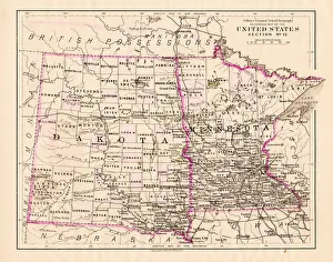
North Dakota and MInnesota map 1881Coltons Common School Geography 1881 New York Sheldon and Co
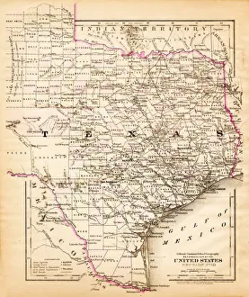
Texas map 1881Coltons Common School Geography 1881 New York Sheldon and Co
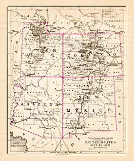
Utah Arizona New Mexico Colorado map 1881Coltons Common School Geography 1881 New York Sheldon and Co
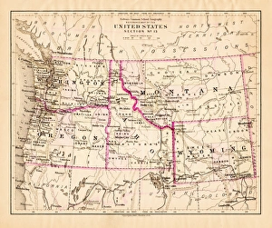
Montana Washington Oregon Idaho map 1881Coltons Common School Geography 1881 New York Sheldon and Co
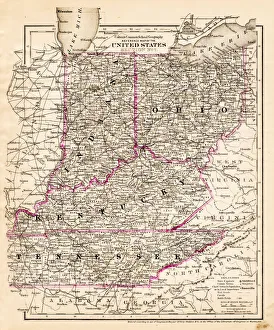
indiana Ohio Kentucky map 1881Coltons Common School Geography 1881 New York Sheldon and Co
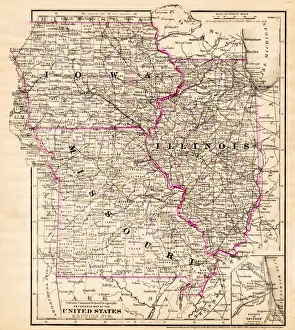
Iowa Missouri Illinois map 1881Coltons Common School Geography 1881 New York Sheldon and Co
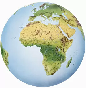
Globe of Earth showing African continent, Europe, Middle East, and parts of Asia
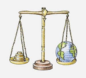
Illustration of set of scales with globe on one side and weights on the other
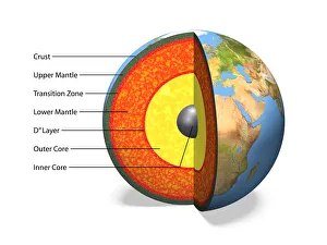
Internal structure of the Earthwith English labels, 3D illustration
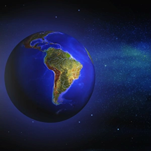
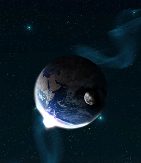
Globe South America ProminentGlobe with South America prominent starry sky in the background
George Town, Penang in 360 ViewTravel to Penang, Malaysia through the eye of drone
360 View above Beautiful Langkawi, MalaysiaLangkawi - an archipelago of 104 islands in the Andaman Sea is one of the most famous touristy destinations in Malaysia
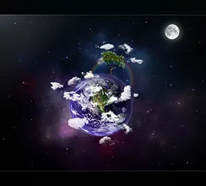
Our home planet earth
Planet EarthRui Almeida Photography, 159480663
Surreal planet earthRui Almeida Photography, 494375181
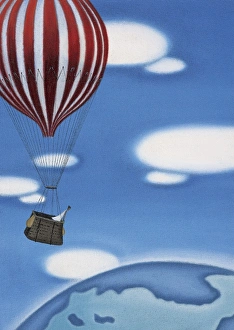
Woman High Up in a Hot Air Ballon Looking at the EarthMandy Pritty, Hot Air Balloons, dv1233012
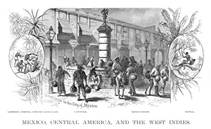
Mexico Central america scene illustration 1886Mexico Central america scene illustration Maps Monteith Physical Geography 1886
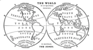
World in zones hemispheres 1881Coltons Common School Geography 1881 New York Sheldon and Co
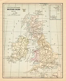
Biritsh Isles map 1881Coltons Common School Geography 1881 New York Sheldon and Co
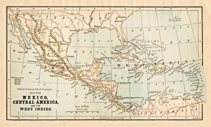
Mexico and Central America map 1881Coltons Common School Geography 1881 New York Sheldon and Co
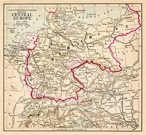
Central Europe map 1881Coltons Common School Geography 1881 New York Sheldon and Co