mail_outline sales@mediastorehouse.com
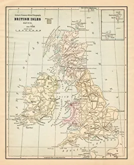
Biritsh Isles map 1881Coltons Common School Geography 1881 New York Sheldon and Co
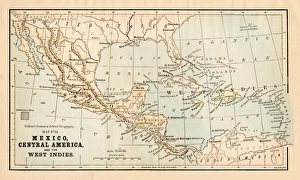
Mexico and Central America map 1881Coltons Common School Geography 1881 New York Sheldon and Co
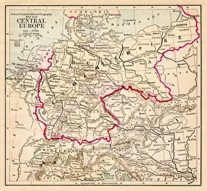
Central Europe map 1881Coltons Common School Geography 1881 New York Sheldon and Co
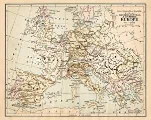
Europe map 1881Coltons Common School Geography 1881 New York Sheldon and Co
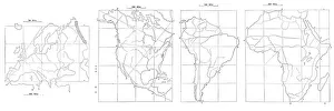
Map drawing technique 1881Coltons Common School Geography 1881 New York Sheldon and Co
Geography earth engraving 1881Coltons Common School Geography 1881 New York Sheldon and Co
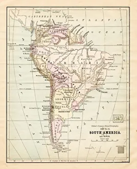
South America map 1881Coltons Common School Geography 1881 New York Sheldon and Co
Dominion of Canada map 1881Coltons Common School Geography 1881 New York Sheldon and Co
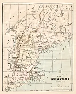
North Eastern States USA map 1881Coltons Common School Geography 1881 New York Sheldon and Co
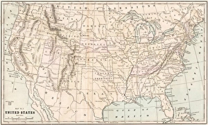
United States map 1881Coltons Common School Geography 1881 New York Sheldon and Co
New England States USA map 1881Coltons Common School Geography 1881 New York Sheldon and Co
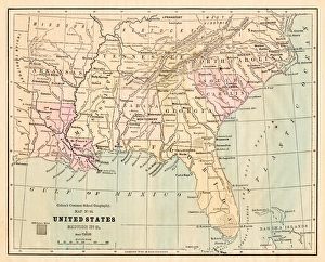
Souther States USA map 1881Coltons Common School Geography 1881 New York Sheldon and Co
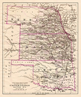
Kansas and Nebraska map 1881Coltons Common School Geography 1881 New York Sheldon and Co
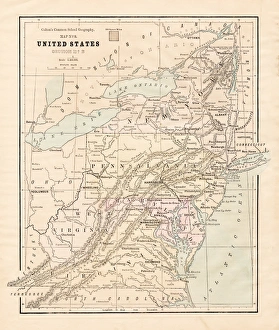
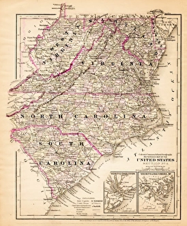
Virginia North Carolina map 1881Coltons Common School Geography 1881 New York Sheldon and Co
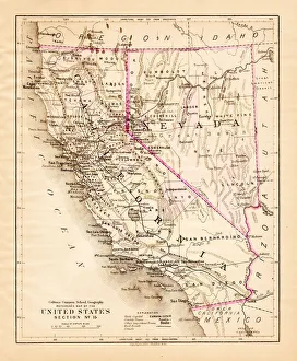
California Nevada map 1881Coltons Common School Geography 1881 New York Sheldon and Co
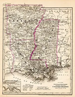
Arkansas Louisiana Pississippi map 1881Coltons Common School Geography 1881 New York Sheldon and Co
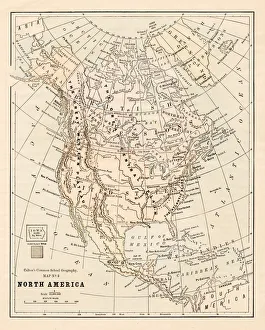
North America map 1881Coltons Common School Geography 1881 New York Sheldon and Co
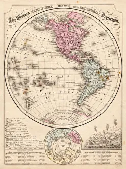
Western Hemisphere map 1867Mitchells Modern Atlas - Published by E.H. Buttler & Co - Philadelphia 1867
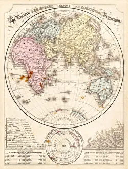
Eastern Hemisphere map 1856Mitchells Modern Atlas - Published by E.H. Buttler & Co - Philadelphia 1867
Illustration of female astronaut recording pictures of Planet Earth from window of space craft
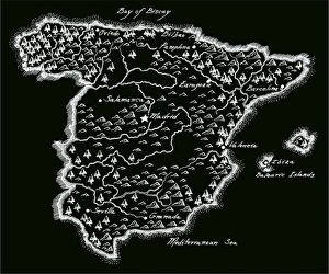
Antique SpainSpain Map, - Antique style. Includes mountains and water bodies. High detail - vector illustration
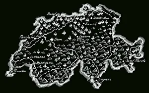
Antique SwitzerlandSwitzerland Map, - Antique style. Includes mountains and water bodies. High detail - vector illustration
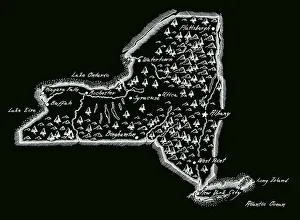
Antique New York StateNew York State Map, - Antique style. Includes mountains and water bodies. High detail - vector illustration
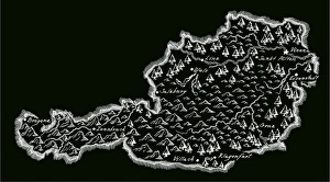
Antique AustriaAustria Map, - Antique style. Includes mountains and water bodies. High detail - vector illustration
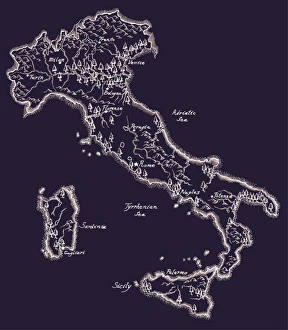
Antique ItalyItaly Map, - Antique style. Includes mountains and water bodies. High detail - vector illustration
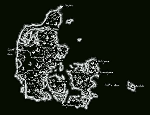
Antique Denmark MapDenmark Map, - Antique style. Includes mountains and water bodies. High detail - vector illustration
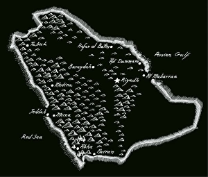
Antique Saudi ArabiaSaudi Arabia Map, - Antique style. Includes mountains and water bodies. High detail - vector illustration
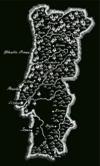
Antique PortugalPortugal Map, - Antique style. Includes mountains and water bodies. High detail - vector illustration
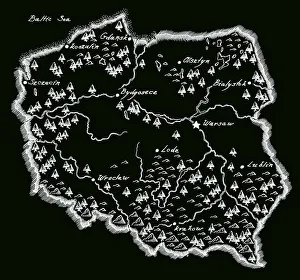
Antique PolandPoland Map, - Antique style. Includes mountains and water bodies. High detail - vector illustration
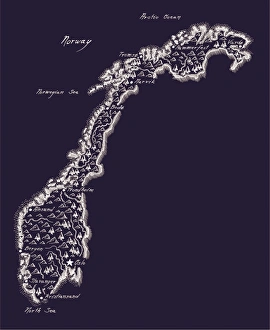
Antique NorwayNorway Map, - Antique style. Includes mountains and water bodies. High detail - vector illustration
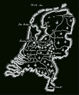
Antique NetherlandsNetherlands Map, - Antique style. Includes mountains and water bodies. High detail - vector illustration
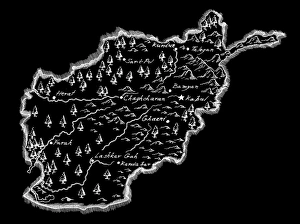
Antique AfghanistanAfghanistan Map, - Antique style. Includes mountains and water bodies. High detail - vector illustration
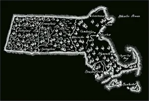
Antique Massachusetts
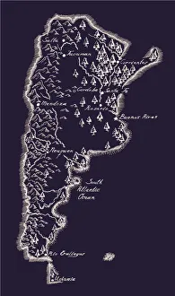
Antique ArgentinaArgentina Map, - Antique style. Includes mountains and water bodies. High detail - vector illustration
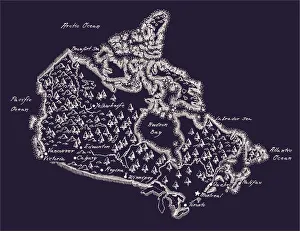
Antique Canada MapCanada Map, - Antique style. Includes mountains and water bodies. High detail. - vector illustration
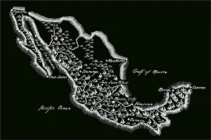
Antique MexicoMexico Map, - Antique style. Includes mountains and water bodies. High detail - vector illustration
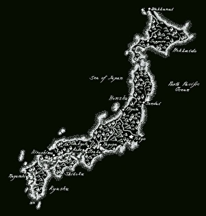
Antique JapanJapan Map, - Antique style. Includes mountains and water bodies. High detail - vector illustration
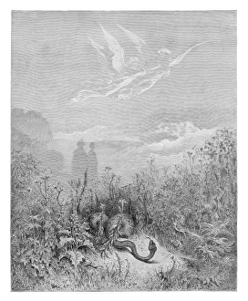
Dante and Virgil engravingDante and Virgil in the Happy Valley engraving by Gustave Dore
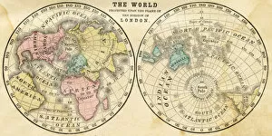
Map of the world horizontal projection 1856Colton and Fitchs Modern School Geography by George W. Fitch - New York 1856
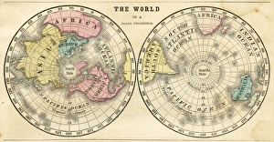
Polar projection of the world map 1856Colton and Fitchs Modern School Geography by George W. Fitch - New York 1856
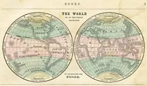
Map of the world in zones 1856Colton and Fitchs Modern School Geography by George W. Fitch - New York 1856
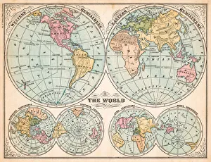
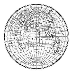
The world in hemispheres map 1875The Independent Course Comprehensive Geography by James Monteith, A.S. Barnes & Co, New York & Chicago 1875
Antique engraving illustration: World map
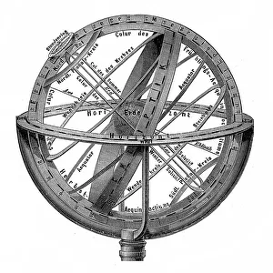
Engraving vintage Planetarium
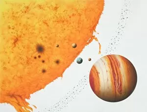
Surface of the sun with an arch of fire, next to the planets Jupiter, Mars, Earth, Venus, Mercury and an Asteroid belt
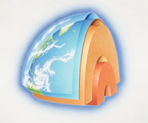
Cross-section diagram of quarter of the earths sphere illustrating subterranean layers of matter, side view
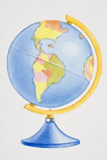
Colourful globe, side view
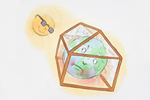
Sun looking down at earth trapped and sweating in greenhouse