Jigsaw Puzzle > Map > Italian Maps
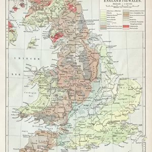
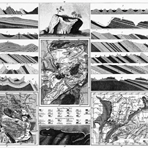
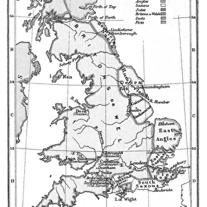
Jigsaw Puzzle : Antique colored illustrations: Geological map of England and Wales


![]()
Jigsaw Puzzles from Fine Art Storehouse
Antique colored illustrations: Geological map of England and Wales
ilbusca
Media ID 13609177
© This content is subject to copyright
Colors Geology Layered Painting Sketch Wales
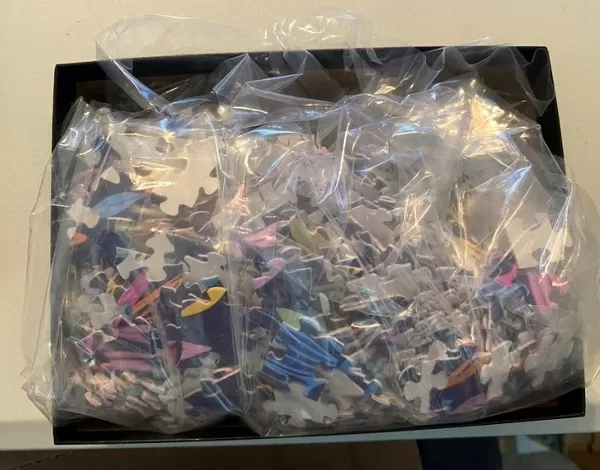
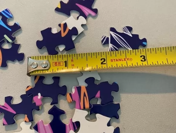
Jigsaw Puzzle (520 Pieces)
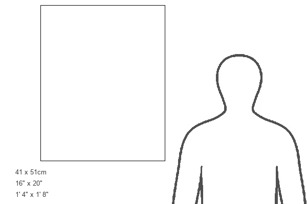
Made in the USA, 520-piece puzzles measure 16" x 20" (40.6 x 50.8 cm). Every puzzle is meticulously printed on glossy photo paper, which has a strong 1.33 mm thickness. Delivered in a black storage cardboard box, these puzzles are both stylish and practical. (Note: puzzles contain small parts and are not suitable for children under 3 years of age.)
Jigsaw Puzzles are an ideal gift for any occasion
Estimated Image Size (if not cropped) is 36.2cm x 50.8cm (14.3" x 20")
Estimated Product Size is 40.5cm x 50.8cm (15.9" x 20")
These are individually made so all sizes are approximate
Artwork printed orientated as per the preview above, with portrait (vertical) orientation to match the source image.
FEATURES IN THESE COLLECTIONS
> Map
> Historical Maps
> Map
> Italian Maps
> Map
MADE IN THE USA
Safe Shipping with 30 Day Money Back Guarantee
FREE PERSONALISATION*
We are proud to offer a range of customisation features including Personalised Captions, Color Filters and Picture Zoom Tools
SECURE PAYMENTS
We happily accept a wide range of payment options so you can pay for the things you need in the way that is most convenient for you
* Options may vary by product and licensing agreement. Zoomed Pictures can be adjusted in the Cart.