Home > Map > Historical Maps
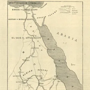
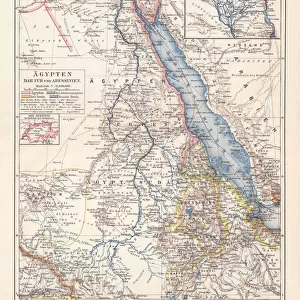
Map of Sudan, late 19th Century

![]()
Wall Art and Photo Gifts from Fine Art Storehouse
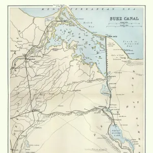
Map of Sudan, late 19th Century
Vintage engraving of a Map of Sudan, late 19th Century
duncan1890
Media ID 14756726
© This content is subject to copyright
1870s East Africa Egypt Equipment Image Created 1870 1879 Navigational Equipment North Africa Red Sea Retro Styles Sudan Supplies Victorian
FEATURES IN THESE COLLECTIONS
> Map
> Historical Maps
> Map
MADE IN THE UK
Safe Shipping with 30 Day Money Back Guarantee
FREE PERSONALISATION*
We are proud to offer a range of customisation features including Personalised Captions, Color Filters and Picture Zoom Tools
SECURE PAYMENTS
We happily accept a wide range of payment options so you can pay for the things you need in the way that is most convenient for you
* Options may vary by product and licensing agreement. Zoomed Pictures can be adjusted in the Basket.