Metal Print > Map

Map Metal Print Collection

Charting the Past: Unveiling the Timeless Beauty of Historical Maps

Choose a picture from our collection for your Wall Art and Photo Gifts

Embark on a captivating journey through time with our collection of historical maps. These exquisite prints offer a glimpse into the intricate cartographic artistry of the past, transporting you to eras long gone. Explore the evolving landscapes, uncharted territories, and ancient civilizations that shaped our world.

Indulge your curiosity as you immerse yourself in the meticulously detailed maps that guided explorers, adventurers, and navigators on their extraordinary quests. From the age of early cartography to the golden age of map making, these treasures provide a window into the rich tapestry of human history

3,675 Metal Prints

Map Metal Print Collection: Art Illustration Maps

Art Illustration Maps Collection
44 Metal Prints

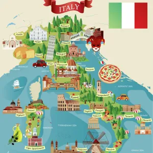
Map Metal Print Collection: Cartoon Maps

Cartoon Maps Collection
49 Metal Prints

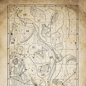
Map Metal Print Collection: Celestial Maps

Celestial Maps Collection
49 Metal Prints

Map Metal Print Collection: Denmark Maps

Denmark Maps Collection
79 Metal Prints

Map Metal Print Collection: Historical Maps

Historical Maps Collection
3,411 Metal Prints

Map Metal Print Collection: Italian Maps

Italian Maps Collection
207 Metal Prints

Map Metal Print Collection: Map Illustrations

Map Illustrations Collection
140 Metal Prints

Map Metal Print Collection: Reference Maps

Reference Maps Collection
1,257 Metal Prints

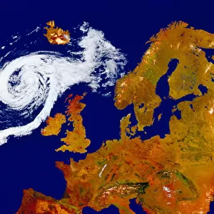
Map Metal Print Collection: Satellite Maps

Satellite Maps Collection
19 Metal Prints

Map Metal Print Collection: Street Maps

Street Maps Collection
290 Metal Prints

Map Metal Print Collection: USA Maps

USA Maps Collection
728 Metal Prints

Background imageMap Metal Print Collection: Antique map of Britain under the Anglo Saxons

Antique map of Britain under the Anglo Saxons

Background imageMap Metal Print Collection: Map of earth population 1895

Map of earth population 1895
Map of earth population

Background imageMap Metal Print Collection: Antique map of the Roman Empire

Antique map of the Roman Empire, with a detail on Rome

Background imageMap Metal Print Collection: Map of Middle East - illustration

Map of Middle East - illustration
Colored Map of Middle East Asia with Country Names and Capital Cities

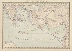
Background imageMap Metal Print Collection: Apostle Pauls Missionary Journeys, lithograph, published in 1886

Apostle Pauls Missionary Journeys, lithograph, published in 1886
Apostle Pauls Missionary Journeys: 1st (green); 2nd (red); 3rd (blue); last to Rome (yellow). Lithograph, published in 1886. Paul travelled over 10, 000 miles proclaiming the gospel of Jesus Christ

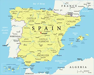
Background imageMap Metal Print Collection: Reference Map of Spain

Reference Map of Spain
The Spain Map shows that Spain is situated in south-western Europe. Spain is bordered by Mediterranean Sea, Gibraltar, France, Andorra, Bay of Biscay, Atlantic Ocean and Portugal

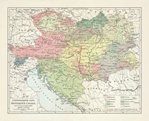
Background imageMap Metal Print Collection: Ethnological map of the Austro-Hungarian Empire, lithograph, published in 1897

Ethnological map of the Austro-Hungarian Empire, lithograph, published in 1897
Ethnological map of the Austro-Hungarian Empire. Lithograph, published in 1897

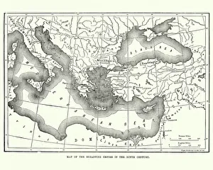
Background imageMap Metal Print Collection: Map of the Byzantine Empire in the 9th Century

Map of the Byzantine Empire in the 9th Century
Vintage engraving of a Map of the Byzantine Empire in the 9th Century

Background imageMap Metal Print Collection: Map of Ireland 1897

Map of Ireland 1897
Map of Ireland

Background imageMap Metal Print Collection: Highly detailed USA Road Map

Highly detailed USA Road Map
Highly detailed map of United States with roads, states, big cities, rivers and some other objects

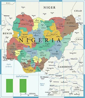
Background imageMap Metal Print Collection: Coloured Map of Nigeria with Flag

Coloured Map of Nigeria with Flag
Nigeria is located in western Africa. Nigeria is bordered by the Gulf of Guinea, Benin to the west, Niger to the north, and Chad and Cameroon to the east

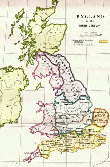
Background imageMap Metal Print Collection: England in the Ninth Century

England in the Ninth Century
An antique map from 1875 showing the different kingdoms of England in the 9th century

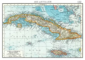
Background imageMap Metal Print Collection: Cuba map 1896

Cuba map 1896
Andres Allgemeiner Handatlas - Bielefeld und Leipzig 1896

Background imageMap Metal Print Collection: Great Britain and England map 1895

Great Britain and England map 1895
Encyclopedia Britannica 9th Edition Vol I New York, Samuel Hall 1878

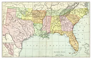
Background imageMap Metal Print Collection: Map of Southern States USA 1895

Map of Southern States USA 1895
The Rand-McNally Grammar School Geography 1895 - Chicago & New York

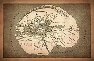
Background imageMap Metal Print Collection: Earth map according to Herodotus

Earth map according to Herodotus
Antique illustration of a earth map according to Herodotus

Background imageMap Metal Print Collection: Newfoundland map 1884

Newfoundland map 1884
Encyclopedia Britannica 9th Edition New York Charles Scribners and Sonsl 1884 Vol XVII

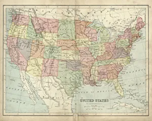
Background imageMap Metal Print Collection: Antique map of USA in the 19th Century, 1873

Antique map of USA in the 19th Century, 1873
Vintage engraving of a Antique map of United States of America in the 19th Century, 1873

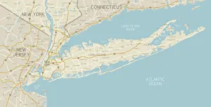
Background imageMap Metal Print Collection: NYC Region and Long Island Map

NYC Region and Long Island Map
A map of the region around New York City and Long Island, including New Jersey and the coast of Connecticut. Includes major highways, cities, and lakes

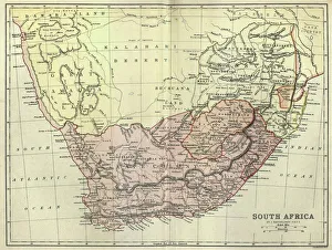
Background imageMap Metal Print Collection: Antique map of South Africa, 1884, 19th Century

Antique map of South Africa, 1884, 19th Century
Vintage engraving of Antique map of South Africa, 1884, 19th Century

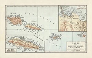
Background imageMap Metal Print Collection: Map of Samoan islands: Savai i, Upolu, and Tutuila, lithograph, 1897

Map of Samoan islands: Savai i, Upolu, and Tutuila, lithograph, 1897
Topographic map of Samoan islands: Savai i, Upolu, Tutuila (American Samoa) and separate maps of Upolu and the port of Apia. Lithograph, published in 1897

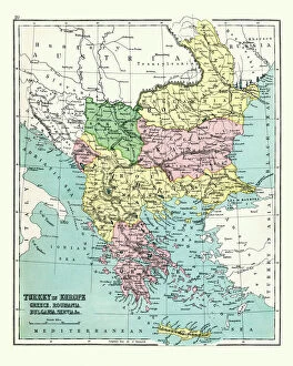
Background imageMap Metal Print Collection: Antique map of Greece, Romania, Bulgaria, 1897, late 19th Century

Antique map of Greece, Romania, Bulgaria, 1897, late 19th Century
Vintage engraving of a Antique map of Greece, Romania, Bulgaria, 1897, late 19th Century

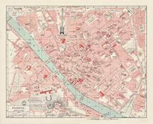
Background imageMap Metal Print Collection: City map of Florence, Italy, lithograph, published in 1897

City map of Florence, Italy, lithograph, published in 1897
City map of Florence - capital city of the Italian region of Tuscany. Lithograph, published in 1897

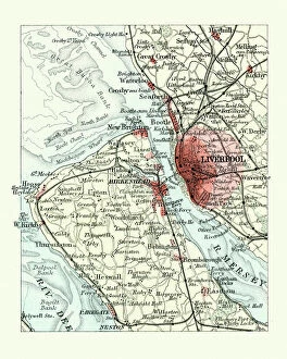
Background imageMap Metal Print Collection: Antique map, Liverpool and Birkenhead, England, 19th Century

Antique map, Liverpool and Birkenhead, England, 19th Century
Vintage engraving of a Antique map, Liverpool and Birkenhead, England, 19th Century

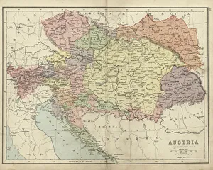
Background imageMap Metal Print Collection: Antique map of Austria Hungary 19th Century

Antique map of Austria Hungary 19th Century
Vintage engraving of a Antique damaged map of Austro-Hungarian Empire in the 19th Century, 1873

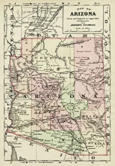
Background imageMap Metal Print Collection: Arizona map 1893

Arizona map 1893
Johnsonas Universal Cyclopedia - Charles Kendall - New York 1893

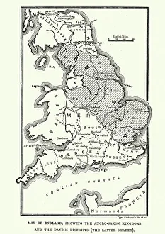
Background imageMap Metal Print Collection: Map of Anglo-Saxon Kingdoms and the Danelaw, 9th Century

Map of Anglo-Saxon Kingdoms and the Danelaw, 9th Century
Vintage engraving of a Map of Anglo-Saxon Kingdoms and the Danelaw, 9th Century

Background imageMap Metal Print Collection: Costa Rica Vector Map

Costa Rica Vector Map
+++

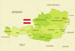
Background imageMap Metal Print Collection: Flat map of Austria with the Austrian flag

Flat map of Austria with the Austrian flag

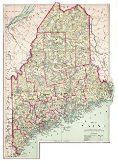
Background imageMap Metal Print Collection: Map of Maine USA 1883

Map of Maine USA 1883
Warrens Common School Geography

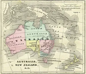
Background imageMap Metal Print Collection: Map of Australia and New Zealand 1856

Map of Australia and New Zealand 1856
Colton and Fitchs Modern School Geography by George W. Fitch - New York 1856

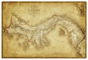
Background imageMap Metal Print Collection: Map of Panama 1864

Map of Panama 1864
Map of Panama - combined with 2 different texture overlays

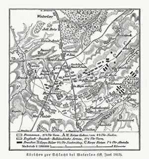
Background imageMap Metal Print Collection: Map of the Battle of Waterloo, Belgium, 18 June 1815

Map of the Battle of Waterloo, Belgium, 18 June 1815
Topographic map of the Battle of Waterloo, Belgium. The defeat of the French army under the command of Napoleon Bonaparte on 18 June 1815 marked the end of the Napoleonic Wars

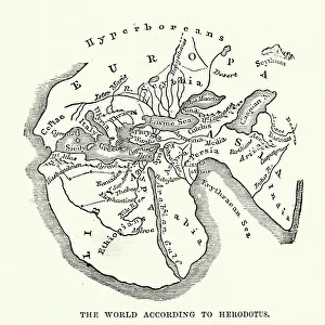
Background imageMap Metal Print Collection: Map of the Ancient World according to Herodotus

Map of the Ancient World according to Herodotus
Vintage engraving of a Map of the Ancient World according to Herodotus. Herodotus was a Greek historian who was born in Halicarnassus, Caria and lived in the fifth century BC

Background imageMap Metal Print Collection: Antique map, Scotland, Isle of Skye, South and North Uist

Antique map, Scotland, Isle of Skye, South and North Uist
Vintage engraving of a Antique map, Scotland, Isle of Skye, South and North Uist, Rum 19th Century

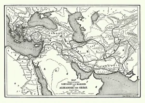
Background imageMap Metal Print Collection: Ancient History - Map of Alexander the Great Campaigns

Ancient History - Map of Alexander the Great Campaigns
Vintage engraving of a map of the campaigns and marches of Alexander the Great

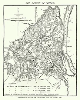
Background imageMap Metal Print Collection: American Civil War, Map of Battle of Shiloh

American Civil War, Map of Battle of Shiloh
Vintage engraving of the Battle of Shiloh also known as the Battle of Pittsburgh Landing, was a major battle in the Western Theater of the American Civil War, fought April 6a'7, 1862

Background imageMap Metal Print Collection: Map of the ancient Jerusalem, copperplate engraving, published in 1774

Map of the ancient Jerusalem, copperplate engraving, published in 1774
Map of the ancient Jerusalem. Copperplate engraving, published in 1774

Background imageMap Metal Print Collection: Map of Assyria illustrating the biblical Patriarchal Age

Map of Assyria illustrating the biblical Patriarchal Age
Vintage engraving of a Map of Assyria illustrating the biblical Patriarchal Age

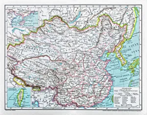
Background imageMap Metal Print Collection: China map

China map
illustration of a South Eastern Asia map

Background imageMap Metal Print Collection: World map by Martin Behaim, 1492, wood engraving, published 1884

World map by Martin Behaim, 1492, wood engraving, published 1884
World map by Martin Behaim, 1492. Woodcut engraving from my archive, published in 1884

Background imageMap Metal Print Collection: Map of the Netherlands, lithograph, published in 1877

Map of the Netherlands, lithograph, published in 1877
Map of the Netherlands. Lithograph, published in 1877

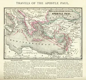
Background imageMap Metal Print Collection: Travels of The Apostle Paul Map Engraving

Travels of The Apostle Paul Map Engraving
Engraved illustration of the Travels of The Apostle Paul Map Engraving from The Popular Pictorial Bible, Containing the Old and New Testaments, Published in 1862

Background imageMap Metal Print Collection: Sicily map 1895

Sicily map 1895
Meyers Konversations-Lexikon. Ein Nachschlagewerk des allgemeinen Wissens, 5th edition 17 volumes Bibliographisches Institut - Leipzig 1895-1897

Background imageMap Metal Print Collection: Antique damaged map of German Empire 19th Century

Antique damaged map of German Empire 19th Century

Background imageMap Metal Print Collection: Map of Portugal

Map of Portugal
Antique illustration engraving map og Portugal

Background imageMap Metal Print Collection: Map of the Roman Empire 1889

Map of the Roman Empire 1889
Comprehensive Geography by James Monteith - American Book Company 1882, 1889

Background imageMap Metal Print Collection: Map of Denmark, Southern Norway and Southern Sweden, lithograph, 1897

Map of Denmark, Southern Norway and Southern Sweden, lithograph, 1897
Topographic map of Denmark, Southern Norway and Southern Sweden. Lithograph, published in 1897

Background imageMap Metal Print Collection: Map of Rhine Province (Prussia, Germany), lithograph, published in 1897

Map of Rhine Province (Prussia, Germany), lithograph, published in 1897
Topographic map of Rhine Province, the westernmost province of Prussia, within the German Reich, from 1822 to 1946. Lithograph, published in 1897

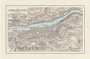
Background imageMap Metal Print Collection: Historical city map of Heidelberg

Historical city map of Heidelberg, Baden-WAOErttemberg, Germany. Lithograph, published in 1897

Background imageMap Metal Print Collection: Map of South East England, Hampshire, Dorset, Wiltshire 1891

Map of South East England, Hampshire, Dorset, Wiltshire 1891
Antique Map of Map of South East England, showing Hampshire, Dorset, Wiltshire, and the Isle of Wight 1891

Background imageMap Metal Print Collection: Antique map, Scotland, Jura, Mull, Argyll, Islay 19th Century

Antique map, Scotland, Jura, Mull, Argyll, Islay 19th Century
Vintage engraving of a Antique map, Scotland, Jura, Mull, Argyll, Islay 19th Century

Background imageMap Metal Print Collection: Antique Map of the San Juan Islands - 19th Century

Antique Map of the San Juan Islands - 19th Century
Vintage map of the San Juan Islands. The area has been disputed since the 1850s, in the 21st century the area was finally recognized as the Salish Sea. Vintage etching circa late 19th century

Background imageMap Metal Print Collection: Map of Great Britain and Ireland 1877

Map of Great Britain and Ireland 1877
Warrens Common School Geography 1877

Background imageMap Metal Print Collection: Map of Hawaiian islands 1883

Map of Hawaiian islands 1883
Encyclopedia Britannica 9th Edition New York Samuel L. Hall 1883 Vol XI

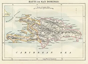
Background imageMap Metal Print Collection: Haiti and Dominican republic map 1883

Haiti and Dominican republic map 1883
Encyclopedia Britannica 9th Edition New York Samuel L. Hall 1883 Vol XI

Background imageMap Metal Print Collection: Map of Maine 1883

Map of Maine 1883
Encyclopedia Britannica 9th Edition New York Samuel L. Hall 1883 Vol XV

Background imageMap Metal Print Collection: Map of the Battle of Hampton Roads

Map of the Battle of Hampton Roads
Vintage engraving of a Map of the Battle of Hampton Roads, often referred to as either the Battle of the Monitor and Merrimack (or Virginia) or the Battle of Ironclads

Background imageMap Metal Print Collection: Philippines map 1885

Philippines map 1885
Encyclopedia Britannica 9th Edition New York Charles Scribners and Sons 1885 Vol XVIII

Background imageMap Metal Print Collection: Map of Kiel, capital of Schleswig-Holstein, Germany, lithograph, published 1887

Map of Kiel, capital of Schleswig-Holstein, Germany, lithograph, published 1887
Map of Kiel and surroundings, capital and most populous city in the northern German state of Schleswig-Holstein. Lithograph, published in 1887

Background imageMap Metal Print Collection: Map of Mexico and Central America 1889

Map of Mexico and Central America 1889
Indiana Educational Series The Complete Geography - Indianapolis 1889

Background imageMap Metal Print Collection: Map of Palestine in the time of Jesus Christ

Map of Palestine in the time of Jesus Christ
Vintage engraving of Map of Palestine in the time of Jesus Christ

Background imageMap Metal Print Collection: Maltese islands map 1883

Maltese islands map 1883
Encyclopedia Britannica 9th Edition New York Samuel L. Hall 1883 Vol XV

Background imageMap Metal Print Collection: Wanderings of the Israelites Map Engraving

Wanderings of the Israelites Map Engraving
Engraved illustration of Wanderings of the Israelites Map Engraving from The Popular Pictorial Bible, Containing the Old and New Testaments, Published in 1862. Copyright has expired on this artwork

Background imageMap Metal Print Collection: Prague map 1896

Prague map 1896
Meyers Konversations-Lexikon

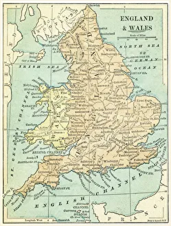
Background imageMap Metal Print Collection: England and Wales map 1875

England and Wales map 1875
The Independent Course Comprehensive Geography by James Monteith, A.S. Barnes & Co, New York & Chicago 1875

Background imageMap Metal Print Collection: Italy map 1875

Italy map 1875
The Independent Course Comprehensive Geography by James Monteith, A.S. Barnes & Co, New York & Chicago 1875

Background imageMap Metal Print Collection: Scotland map 1875

Scotland map 1875
The Independent Course Comprehensive Geography by James Monteith, A.S. Barnes & Co, New York & Chicago 1875

Background imageMap Metal Print Collection: Ireland map 1875

Ireland map 1875
The Independent Course Comprehensive Geography by James Monteith, A.S. Barnes & Co, New York & Chicago 1875

Background imageMap Metal Print Collection: Budapest city map 1895

Budapest city map 1895
Meyers Konversations-Lexikon. Ein Nachschlagewerk des allgemeinen Wissens, 5th edition 17 volumes Bibliographisches Institut - Leipzig 1895-1897

Background imageMap Metal Print Collection: Antique Damaged Map of Italy 19th Century

Antique Damaged Map of Italy 19th Century
Antique damaged map of Italy 19th Century

Background imageMap Metal Print Collection: Map of Yellowstone National Park, USA

Map of Yellowstone National Park, USA

Background imageMap Metal Print Collection: Caribbean map

Caribbean map
Antique map of Cuba, Jamaica, Puerto Rico


Uncover the allure of these timeless masterpieces, where geography blends with imagination. Whether you're an avid historian, a curious traveller, or an art connoisseur, this collection invites you to witness the remarkable craftsmanship and storytelling embedded in each map. Discover the allure of bygone eras and embark on a visual odyssey with Fine Art Storehouse, where the echoes of the past come alive through the beauty and intricacy of historical maps.

All products are expertly crafted, using premium materials, tailored to your specifications and promptly shipped