Framed Print > Map > Reference Maps
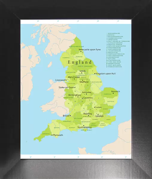
Framed Print : Highly detailed vector map of England


![]()
Framed Photos from Fine Art Storehouse
Highly detailed vector map of England
Highly detailed vector map of England. Source data courtesy of NGDC and NASA. Source database: World Data Bank II. The source data is in the public domain. Data updated and improved. File was created on July 27, 2011
Media ID 32146018
Birmingham England Clip Art Close Up Computer Graphic Devon Direction Green Colour Isle Of Wight Kent England Latitude Leicester Liverpool England London England Longitude Manchester England Merseyside Multi Coloured Newcastle Upon Tyne Square Composition Text Vector Western Script
12"x10" Modern Frame
10x8 Print in an MDF Wooden Frame with 180 gsm Satin Finish Paper. Glazed using shatter proof thin plexi glass. Frame thickness is 1 inch and depth 0.75 inch. Fluted cardboard backing held with clips. Supplied ready to hang with sawtooth hanger and rubber bumpers. Spot clean with a damp cloth. Packaged foam wrapped in a card.
Contemporary Framed and Mounted Prints - Professionally Made and Ready to Hang
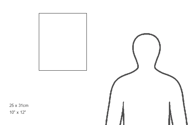
Estimated Image Size (if not cropped) is 25.4cm x 25.4cm (10" x 10")
Estimated Product Size is 25.4cm x 30.5cm (10" x 12")
These are individually made so all sizes are approximate
Artwork printed orientated as per the preview above, with landscape (horizontal) or portrait (vertical) orientation to match the source image.
MADE IN THE USA
Safe Shipping with 30 Day Money Back Guarantee
FREE PERSONALISATION*
We are proud to offer a range of customisation features including Personalised Captions, Color Filters and Picture Zoom Tools
SECURE PAYMENTS
We happily accept a wide range of payment options so you can pay for the things you need in the way that is most convenient for you
* Options may vary by product and licensing agreement. Zoomed Pictures can be adjusted in the Cart.