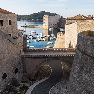
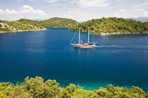
adriatic, adriatico, adriaticum, archipelago, area, areas, balkan, balkans, boat
Archipelago with a ssiling ship in the Mljet National Park, Mljet Island, Dubrovnik-Neretva, Dalmatia, Croatia, Europe
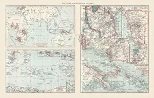
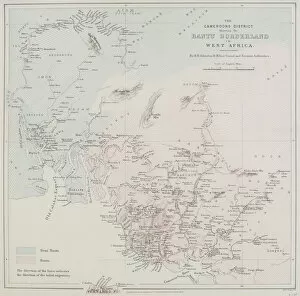
19th century, antique, archival, border, cameroon, cameroons district bantu borderland in west africa, cartography, coast, coastline, detail, distribution, document, geography, historical, key