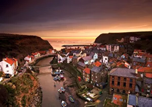
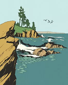
Cityscape at sunset, Staithes, Yorkshire, England
attraction, attractions, charming, cityscape, coast, coastal, coastline, coastlines, dawn, design pics, destination, destinations, dusk, england, english town, english village, english villages, eu
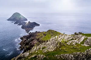
Mizen Head - the most southwesterly point of Ireland, Mizen Peninsula, County Kerry
ireland, western europe, cloud - sky, bay of water, beach, coastline, , Marius Roman Travel Photography, 1126956427
Dunmore Head - the westernmost point of mainland Ireland, Dingle Peninsula, County Kerry
ireland, western europe, cloud - sky, bay of water, beach, coastline, , Marius Roman Travel Photography, 1127147936
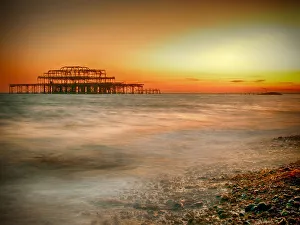
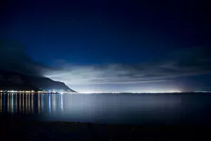
bay, beauty in nature, cape peninsula, city, cloud, coastline, horizon, horizontal
bay, beauty in nature, cape peninsula, city, cloud, coastline, horizon, Gallo Landscapes, 101902142