mail_outline sales@mediastorehouse.com
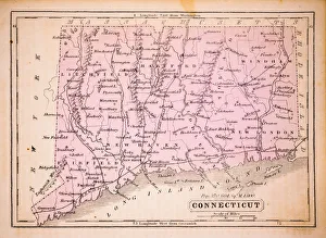
Connecticut 1852 Map
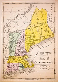
New England 1852 Map
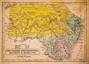
New Jersey, Pennsylvania, Delaware and Maryland 1852 Map
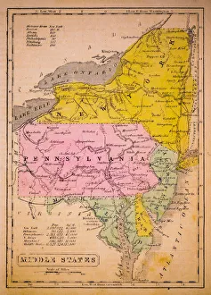
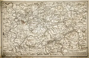
Middle States 1852 Map
Southern States 1852 Map
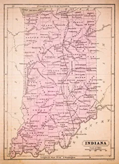
Indiana 1852 Map
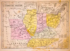
Western States 1852 Map
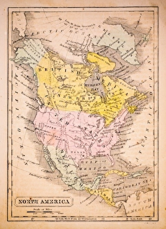
North America 1852 Map
United States 1852 Map
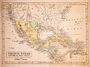
Mexico, Texas, Guatimala and West Indies 1852 Map
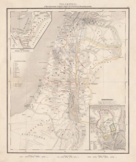
Map of Palestine, steel engraving, published in1861Ancient topographic map of Palestine and seperate map of Jerusalem in three eras: 1) Judges 2) Juda and Israel, 3) Maccabees to Titus (70 AD)
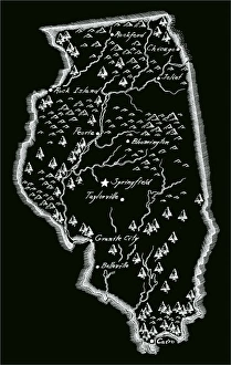
Antique Illinois MapIllinois Map, - Antique style. Includes mountains and water bodies. High detail - vector illustration
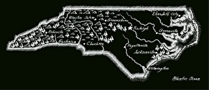
Antique North Carolina
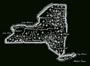
Antique New York StateNew York State Map, - Antique style. Includes mountains and water bodies. High detail - vector illustration
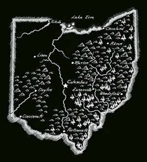
Antique OhioOhio Map, - Antique style. Includes mountains and water bodies. High detail - vector illustration
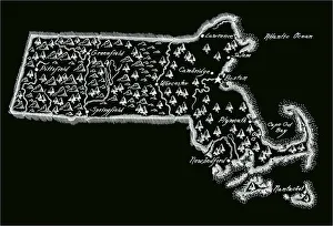
Antique Massachusetts
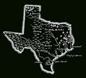
Antique Texas MapTexas Map, - Antique style. Includes mountains and water bodies. High detail - vector illustration
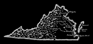
Antique Virginia MapVirginia Map, - Antique style. Includes mountains and water bodies. - vector illustration
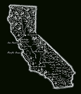
Antique CaliforniaCalifornia Map, - Antique style. Includes mountains and water bodies. High detail - vector illustration
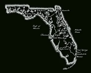
Antique Florida MapFlorida Map, - Antique style. Includes mountains and water bodies. High detail - vector illustration
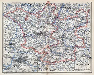
Brandenburg map 1895Meyers Konversations-Lexikon. Ein Nachschlagewerk des allgemeinen Wissens, 5th edition 17 volumes Bibliographisches Institut - Leipzig 1895-1897
State and private railways map 1895Meyers Konversations-Lexikon. Ein Nachschlagewerk des allgemeinen Wissens, 5th edition 17 volumes Bibliographisches Institut - Leipzig 1895-1897
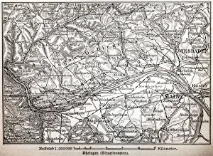
The Rheingau ( Rhine District )
Rhenish-Westphalia coals and industrial map
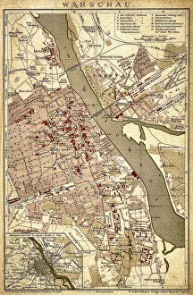
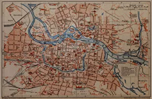
WarsawAntique illustration of a Warsaw from 1898
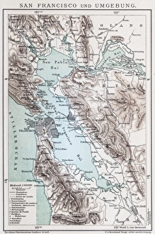
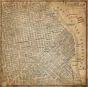
Map of San FranciscoAntique illustration of a Map of San Francisco
Jean-Baptiste Greuze A girl with a broken jugIllustration of a Jean-Baptiste Greuze A girl with a broken jug
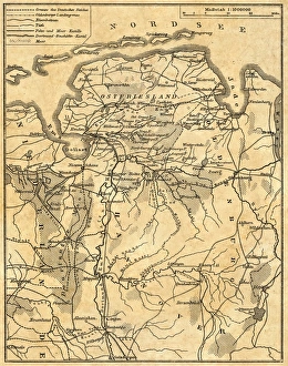
Map of Lower Saxony
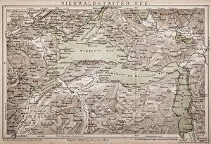
Lake LucerneAntique map of LAKE LUCERNE
Wroclaw City map
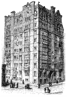
Berkshire Apartment HouseAntique illustration of a Berkshire Apartment House
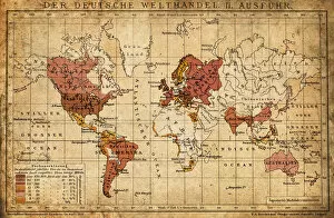
German world trade export map 1898Illustration engraving of the German world trade export map from 1898
San Francisco, California, USAAntique illustration of a San Francisco, California, USA
Silesia. PolandAntique illustration of a Silesia. Poland
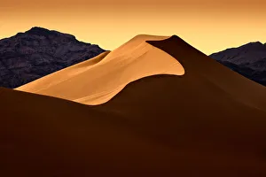
Arbelos Path, Sand Dunes Death ValleyMesquite dunes of death valley. Curves and patterns captured and contrasted in the fleeting light. Death Valley National Park is located primarily in the Southern California Desert
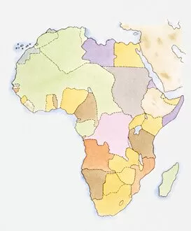
Illustration of African territories and states
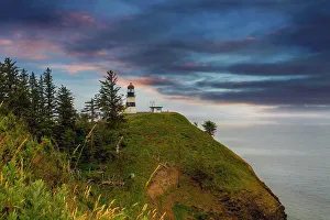
Cape Disappointment Lighthouse after SunsetCape Disappointment Lighthouse in Washington State after sunset
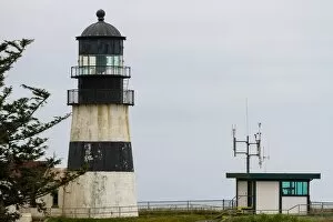
Cape Disappointment CloseupCape Disappointment Lighthouse in Washington State closeup
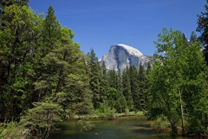
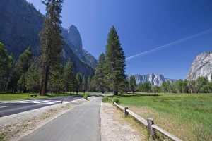
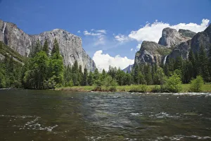
Merced River and Half Dome
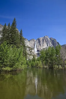
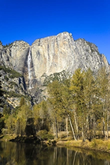
Yosemite Waterfall and Merced River
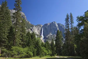
Yosemite Waterfall
Yosemite National Park
Merced River and El Capitan in Yosemite National Park
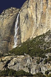
Upper Fall, Curry, Yosemite Village, Yosemite National Park California, USA, North America
Curry, Yosemite Village, Yosemite National Park California, USA, North America
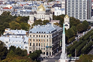
Latvia, Riga, Nativity Cathedral and Freedom Monument
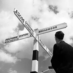
Towards Broadmoor12th May 1956: A visitor reads a signpost indicating the direction to the special hospital at Broadmoor in Berkshire, for those who commit crimes due to their mental state
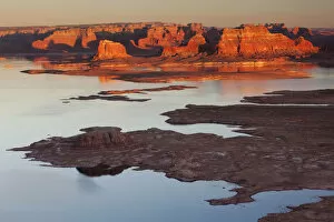
Alstrom Point, Big Water, Utah, USA, America