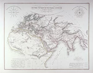
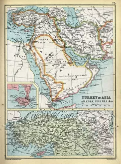
Antique map of Turkey in Asia, Ottoman, Arabia, Persia, detail on Aden, 19th Century, 1890s
Vintage illustration, Antique map of Turkey in Asia, Ottoman, Arabia, Persia, detail on Aden, 19th Century, 1890s
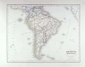
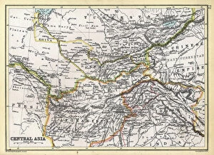
Antique map of Central Asia, Afghanistan, Kashmir, Persia, Turkestan, 19th Century, 1890s
Vintage illustration, Antique map of Central Asia, Afghanistan, Kashmir, Persia, Turkestan, 19th Century, 1890s
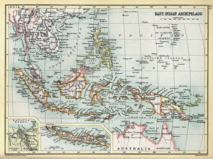
Old Antique map East indian Archipelago, Indonesia, Siam, Java, Batavia, Philippines, Papua New Guinea, 1890s
Antique map of East indian Archipelago, Indonesia, SIam, Java, Batavia, Philippines, Papua New Guinea, 1890s, Victorian 19th Century history
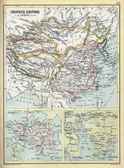
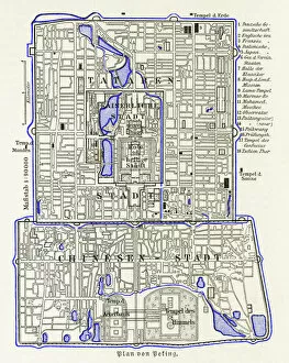
Old Antique map of Chinese Empire, China, Hong Kong, Canton, 1890s, Victorian 19th Century history
Antique map of Chinese Empire, China, Hong Kong, Canton, 1890s, Victorian 19th Century history
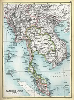
Old Antique map of Farther India, Burma, Siam, Malay, Vietnam, 1890s, Victorian 19th Century history
Antique map of Farther India, Burma, Siam, Malay, Vietnam, 1890s, Victorian 19th Century history
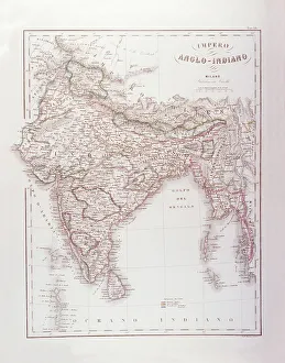
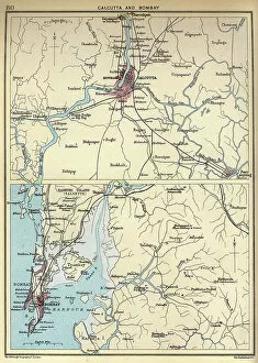
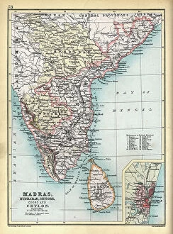
Old Antique map of Madras, Hybrabad, Mysore, Coorg, Ceylon, India, 1890s, Victorian British Raj 19th Century
Antique map of Madras, Hybrabad, Mysore, Coorg, Ceylon, India, 1890s, Victorian British Raj 19th Century
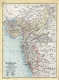
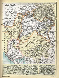
Old Antique map of Punjab, Sindh, Rajputana, Kashmir, 1890s, Victorian 19th Century
Antique map of Punjab, Sindh, Rajputana, Kashmir, 1890s, Victorian 19th Century