mail_outline sales@mediastorehouse.com
221 items
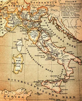
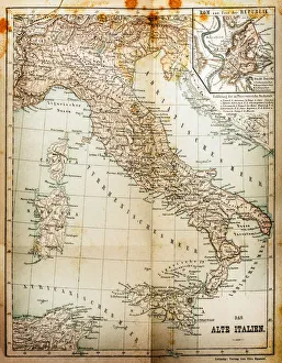
Antquie Map of ItalyVintage map of Italy from 1815
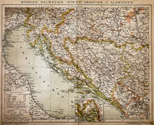
Bosnia, dalmatia, istria, croatia, slavoniaAntique illustration of a Bosnia, dalmatia, istria, croatia, slavonia map
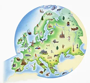
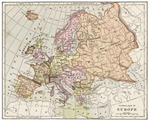
Map of Europe with illustrations of famous landmarks and items associated with various countries
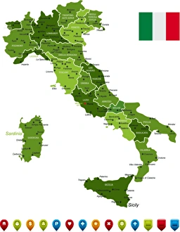
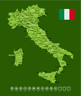
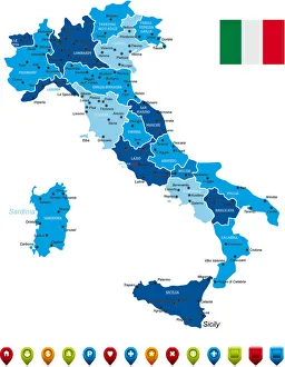
Italy MapHigh Detailed Italy Green Map with Navigation Icons
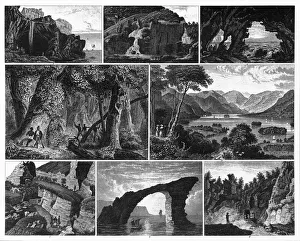
Forests, Lakes, Caves and Unusual Rock Formations EngravingEngraved Illustrations of Forests, Lakes, Caves and Unusual Rock Formations from Iconographic Encyclopedia of Science, Literature and Art, Published in 1851. Copyright has expired on this artwork
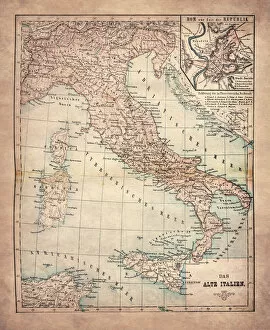
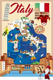
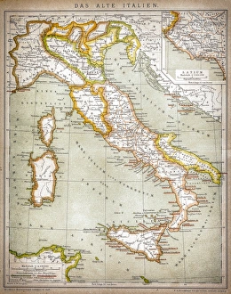
The Old ItalyIllustration of the Old Italy
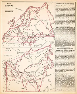
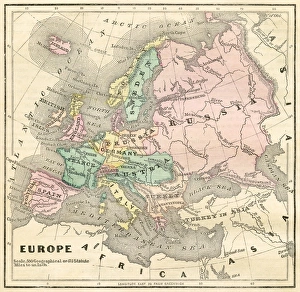
Map of Europe 1889Indiana Educational Series The Complete Geography - Indianapolis 1889
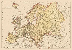
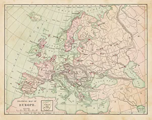
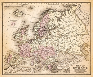
Map of Europe 1881Encyclopedia Britannica 9th Edition Vol XII Philadelphia j.M. Stoddart & Co 1881
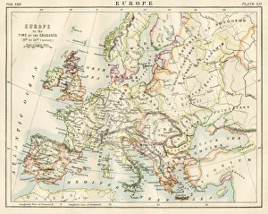
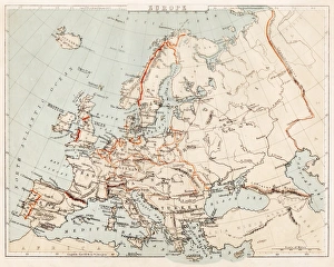
Europe time of the crusadesEncyclopedia Britannica 9th Edition Vol XII Philadelphia j.M. Stoddart & Co 1881
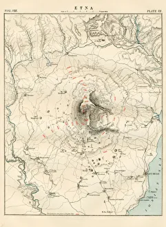
Mount Etna map 1881Encyclopedia Britannica 9th Edition Vol XII Philadelphia j.M. Stoddart & Co 1881
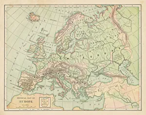
Europe map 1881Harpers School Geography, New York, Harpers and Brothers, 1881
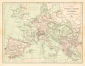
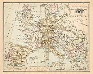
Western and Central Europe map 1881Harpers School Geography, New York, Harpers and Brothers, 1881
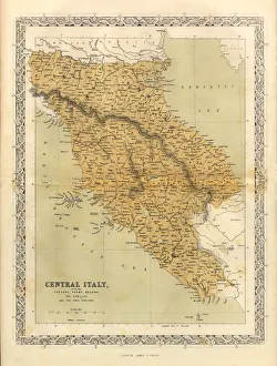
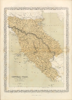
Central Italy Victorian Map, Circa 1865Extremely Rare, Beautifully Illustrated Antique Victorian Engraved Illustration of Central Italy Victorian Map from Liberators of Italy
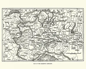
War of the Second Coalition, Map of the Marengo CampaignVintage engraving of War of the Second Coalition, Map of the Marengo Campaign
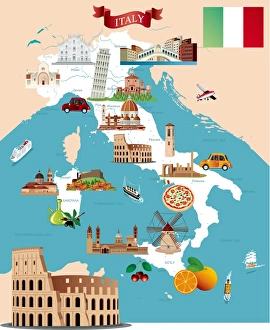
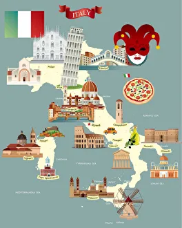
Cartoon map of ITALY
The old Italy mapIllustration of the old Italy map
Italy Green MapHigh Detailed Italy Map with Navigation Icons
Italy MapHigh Detailed Italy Map with Navigation Icons
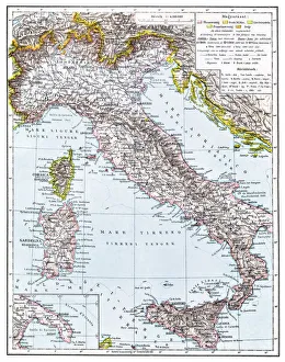
Map of Italy from 1896illustratoion of a Map of Italy from 1896
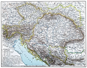
Austro-Hungarian Monarchy map from 1896illustration of a Austro-Hungarian Monarchy map from 1896
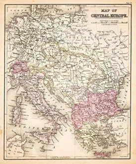
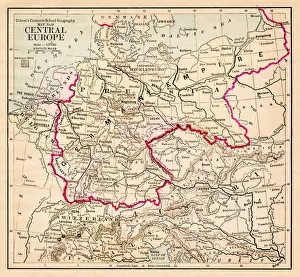
Map of Central Europe 1883Warrens Common School Geography
Map of Europe and asia 1883Warrens Common School Geography
Map of Europe 1883Warrens Common School Geography
Central Europe map 1881Coltons Common School Geography 1881 New York Sheldon and Co
Europe map 1881Coltons Common School Geography 1881 New York Sheldon and Co
Map of Europe 1869Cornells Grammars-School Geography - S.S. Cornell - New York D. Appleton and Company 1869
Map of Europe 1856Colton and Fitchs Modern School Geography by George W. Fitch - New York 1856
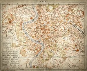
Map of Rome, Italy
Map of old ItalyVintage map of Italy
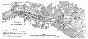
Antique engraving illustration: Plainpalais, Geneva, Switzerland
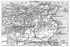
Antique engraving illustration: map of Algeria and Tunisia
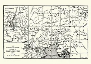
Map of the Campaign preceding the Treaty of Camp-formioVintage engraving of a Map of the Campaign preceding the Treaty of Camp-formio, 1797
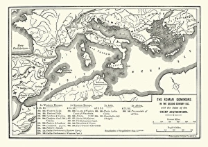
Map of Roman dominions in the Second Century BCVintage engraving of Map of Ancient Roman dominions in the Second Century BC
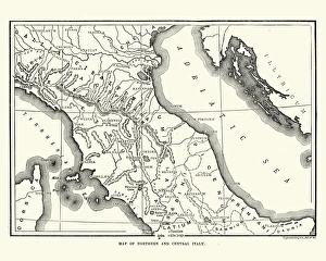
Map of Ancient Northern and Central ItalyVintage engraving of a Map of Ancient Northern and Central Italy
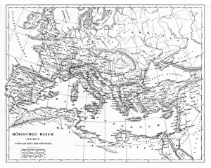
Victorian Map of The Roman EmpireEngraved illustrations of the Roman Empire Under Constantine the Great from Iconographic Encyclopedia of Science, Literature and Art, Published in 1851. Copyright has expired on this artwork
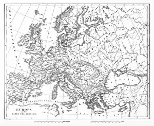
Victorian Map of EuropeEngraved illustrations of Europe in the Time of Charlemagne from Iconographic Encyclopedia of Science, Literature and Art, Published in 1851. Copyright has expired on this artwork. Digitally restored
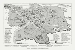
Rome in the birds eye view, published in 1878Rome in the birds eye view with the known historic buildings and places. Wood engraving, published in 1878
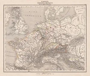
Ancient Europe under Emporer Augstus (63 BC-14 AD), published 1861Ancient map of Gaul, Germania and Britannia during the time of the first Roman Emporer Augstus (63 BC - 14 AD). Legend in Latin language. Steel engraving with colored borderlines, published in 1861
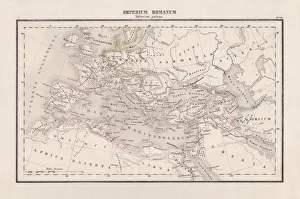
Roman Empire with provinces (115-117 AD), steel engraving, published 1861The Roman Empire and its provinces at the time of its greatest extent under Emperor Trajan in the years 115-117 AD. Legend in Latin language
Victorian Map of Central Italy, Circa 1865Extremely Rare, Beautifully Illustrated Antique Victorian Engraved Illustration of the map of Central Italy including Tuscany, Parma and Modena from Liberators of Italy
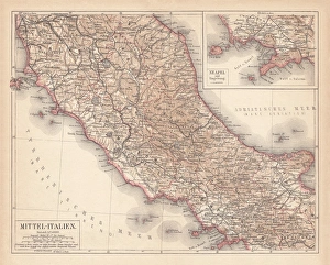
Map of Central Italy, lithograph, puplished in 1876Map of Central Italy. Lithograph, published in 1876
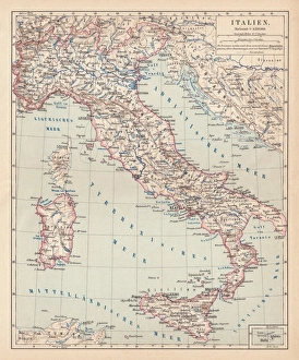
Map of Italy, lithograph, published in 1876Map of Italy. Lithograph, published in 1876
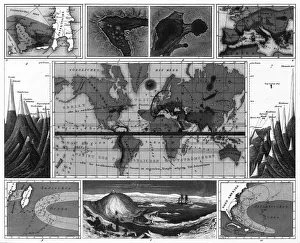
Volcanic and Hurricane Charts; Craters; and Antarctica EngravingEngraved Illustrations of Volcanic and Hurricane Charts; Craters; and Antarctica from Iconographic Encyclopedia of Science, Literature and Art, Published in 1851
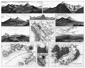
Volcanoes and Volcanic Formations and Stratification EngravingEngraved Illustrations of Volcanoes and Volcanic Formations and Stratification from Iconographic Encyclopedia of Science, Literature and Art, Published in 1851. Copyright has expired on this artwork
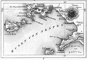
Map of Bay of Naples and Naples EngravingEngraved Illustrations of Volcanoes and Volcanic Formations and Stratification and the Map of Bay of Naples and Naples, Italy from Iconographic Encyclopedia of Science, Literature and Art