mail_outline sales@mediastorehouse.com
799 Items
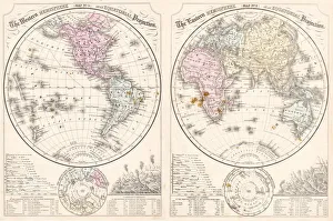
Easter hemisphere map 1867Mitchellas Modern Atlas - Published by E.H. Butler and Co - Philadelphia 1867
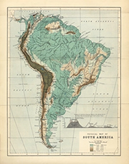
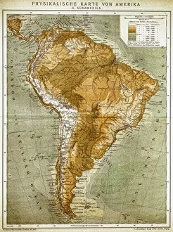
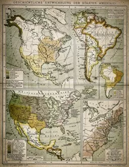
South America Physical Map, Engraving, 1892Very rare, beautifully detailed engraving of South America Physical Map, Engraving, Published in 1892. Original edition from my own archives. Copyright has expired on this artwork. Digitally restored
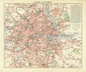
London and Environs Historical Map, Engraving, 1892Very rare, beautifully detailed engraving of London and Environs Historical Map, Engraving, Published in 1892. Original edition from my own archives. Copyright has expired on this artwork
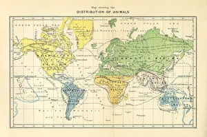
Distribution of Animals Map, Engraving, 1892Very rare, beautifully detailed engraving of North America Physical Map, Engraving, Published in 1892. Original edition from my own archives. Copyright has expired on this artwork. Digitally restored
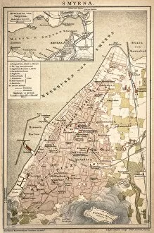
SmyrnaAntique map of a Smyrna
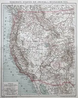
United States of AmericaAntique illustration of a United States of America, western part
United States of America
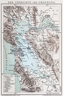
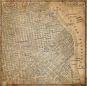
Map of San FranciscoAntique illustration of a Map of San Francisco
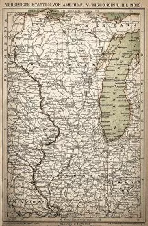
United States of America, Wisconsin, IllinoisAntique illustration of United States of America, Wisconsin, Illinois map
San Francisco, California, USAAntique illustration of a San Francisco, California, USA
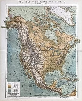
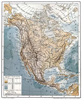
North AmericaAntique illustration of a North America
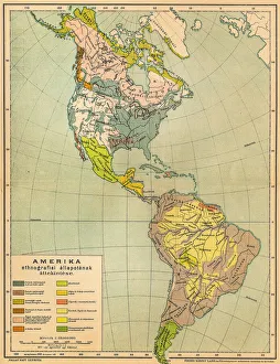
American ethnographic mapIllutration of American ethnographic map
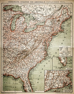
United States of America, eastern partAntique illustration of a United States of America, eastern part
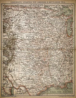
United States of America, Middle sectionAntique illustration of a United States of America, Middle section
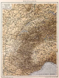
Western AlpsAntique illustration of a Western Alps
United States of America mapAntique illustration of a United States of America map
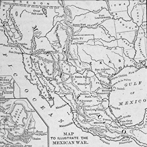
Map Illustrating Mexican-American WarA map of the Western United States and Mexico, illustrating the Mexican-American War (1845-1847). (Engraving by Kean Collection/Getty Images)
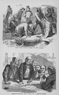
Silver SpeculatingIllustration of New York speculators at a silver mine and trading circa 1890. (Photo by Kean Collection/Getty Images)
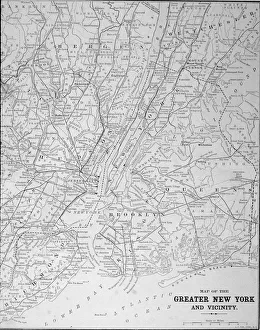
Map Of Greater New York In 1890sMap of the greater New York area, late 1890s. Engraving by E. F. Fisk. (Photo by Kean Collection/Getty Images)
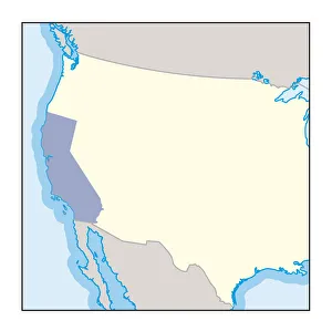
Digital illustration of wine growing region in California
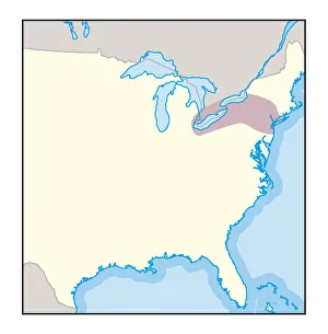
Digital illustration of wine growing region in New York State
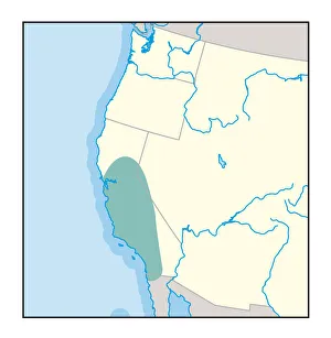
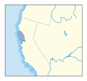
Digital illustration of wine growing region in northern California
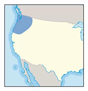
Digital illustration of wine growing region in Pacific Northwest
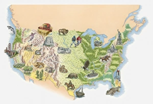
Illustrated map of the USA
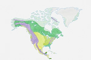
Illustration of USA, Canada and Greenland
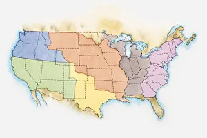
Illustration of the United States of America
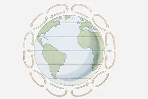
Illustration showing prevailing winds, Hadley cells and the Coriolis effect
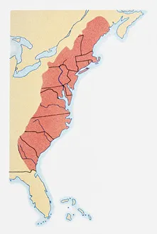
Illustration of coastline and borders from Maine to Georgia
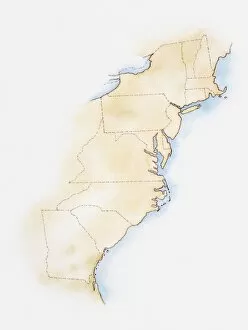
Illustration of states on East Coast of the USA
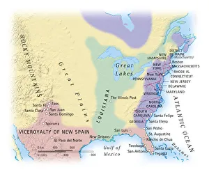
Digital illustration of map showing 15th century European colonization of the Americas
Shape and national flag of the United States of America, USA, levitating, 3D computer graphics
Moss, Map Lichen -Rhizocarpon geographicum- and other lichen, Hells Canyon, Oxbow, Idaho, USA
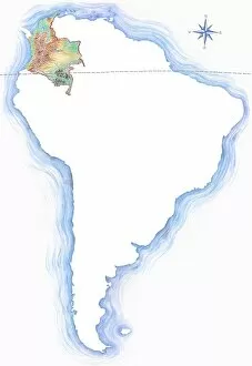
Highly detailed hand-drawn map of Colombia within the outline of South America with a compass rose and the equator
North Carolina, NC, highlighted on a contour map of USA, United States of America, 3D illustration
State of New York, NY, highlighted on a contour map of USA, United States of America, 3D illustration