Photographic Print > History > Battles & Wars > Historcal Battle Maps and Plans
Photographic Print : Map of the Cinque Ports (Victorian engraving)
")
![]()
Photo Prints from Fine Art Storehouse
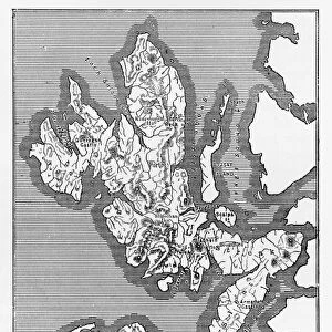
Map of the Cinque Ports (Victorian engraving)
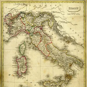
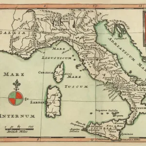
An old map of the Cinque Ports, which are five historic ports on the south-eastern corner of Kent, England. The Confederation of Cinque Ports (Cinque is pronounced asinka) was originally formed for trade and military purposes but now exists as a mainly ceremonial organisation. The original Ports were Hastings, New Romney, Hythe, Dover and Sandwich, though when Romney silted up, Rye became one of the Ports. From Our Own Country: Descriptive, Historical, Pictoriala published by Cassell & Co Ltd, 1885
whitemay
Media ID 13667309
© This content is subject to copyright
Battle British Culture Direction Dover England East Sussex English Channel English Culture Harbor Hastings Kent England Line Art Monochrome Nostalgia Sandwich Social History Sussex
11"x8.5" Photo Print
Photo prints are produced on Kodak professional photo paper resulting in timeless and breath-taking prints which are also ideal for framing. The colors produced are rich and vivid, with accurate blacks and pristine whites, resulting in prints that are truly timeless and magnificent. Whether you're looking to display your prints in your home, office, or gallery, our range of photographic prints are sure to impress. Dimensions refers to the size of the paper in inches.
Our Photo Prints are in a large range of sizes and are printed on Archival Quality Paper for excellent colour reproduction and longevity. They are ideal for framing (our Framed Prints use these) at a reasonable cost. Alternatives include cheaper Poster Prints and higher quality Fine Art Paper, the choice of which is largely dependant on your budget.
Estimated Image Size (if not cropped) is 9.9cm x 27.9cm (3.9" x 11")
Estimated Product Size is 21.6cm x 27.9cm (8.5" x 11")
These are individually made so all sizes are approximate
Artwork printed orientated as per the preview above, with portrait (vertical) orientation to match the source image.
FEATURES IN THESE COLLECTIONS
> History
> Battles & Wars
> Historcal Battle Maps and Plans
> Map
> Historical Maps
> Map
MADE IN THE USA
Safe Shipping with 30 Day Money Back Guarantee
FREE PERSONALISATION*
We are proud to offer a range of customisation features including Personalised Captions, Color Filters and Picture Zoom Tools
SECURE PAYMENTS
We happily accept a wide range of payment options so you can pay for the things you need in the way that is most convenient for you
* Options may vary by product and licensing agreement. Zoomed Pictures can be adjusted in the Cart.