
Geography Collection

Background imageGeography Collection: Antique map of Tasmania

Antique map of Tasmania

Background imageGeography Collection: Map of Antarctica overlaid with illustrations of Sea Gulls, Penguins, Elephant Seal

Map of Antarctica overlaid with illustrations of Sea Gulls, Penguins, Elephant Seal, Shrimp and buildings

Background imageGeography Collection: Map of the world, 1720

Map of the world, 1720
(Original Caption) 18th century map of the world. Published in Paris in 1720, this French map shows the known world, including the new lands that had been discovered in the preceding centuries by

Background imageGeography Collection: Arch rock formation on Perranporth Beach

Arch rock formation on Perranporth Beach
Arch rock formation Perranporth Beach in Ligger Bay with Saint Pirans Flag the standard flag of Cornwall against blue skies

Background imageGeography Collection: Antique map of Victoria or Port Phillip in Australia with vignettes

Antique map of Victoria or Port Phillip in Australia with vignettes

Background imageGeography Collection: Antique map of Russia

Antique map of Russia

Background imageGeography Collection: Antique map of Constantinople, present day Istanbul

Antique map of Constantinople, present day Istanbul

Background imageGeography Collection: Map of Scandinavia

Map of Scandinavia

Background imageGeography Collection: Illustrated map of India showing ancient Mauryan empire

Illustrated map of India showing ancient Mauryan empire

Background imageGeography Collection: Illustration of world map showing sites of volcanic activity

Illustration of world map showing sites of volcanic activity

Background imageGeography Collection: Milky Way Over Hollow Rock

Milky Way Over Hollow Rock
Hollow rock is an iconic coastal formation located on the North West side of Lake Superior. Air glow creates a colorful luminescent atmosphere below the night sky and Milky Way

Background imageGeography Collection: 1643, antiquity, archival, british isles, cartography, england, europe, geographical

1643, antiquity, archival, british isles, cartography, england, europe, geographical, geography, historical, map, nobody, old-fashioned, text, uk, vintage, Antique Maps, 89687337

Background imageGeography Collection: Antique map of Denmark

Antique map of Denmark

Background imageGeography Collection: India, map with illustrations showing distinguishing features

India, map with illustrations showing distinguishing features

Background imageGeography Collection: Map of South America

Map of South America

Background imageGeography Collection: Antique map of South Australia with vignettes

Antique map of South Australia with vignettes

Background imageGeography Collection: Illustrated map of Indus Valley civilisation

Illustrated map of Indus Valley civilisation

Background imageGeography Collection: Mt. Huangshan in Anhui, China

Mt. Huangshan in Anhui, China morning

Background imageGeography Collection: antique, archival, brasil, brasilia, brazil, cartography, cartouche, colored, decorative

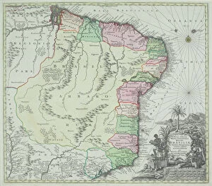
antique, archival, brasil, brasilia, brazil, cartography, cartouche, colored, decorative, distribution, districts, elegant, geography, historic, indigenous peoples, key, legend, location, map

Background imageGeography Collection: Antique map of the Middle East with Egypt, Syria, and Israel

Antique map of the Middle East with Egypt, Syria, and Israel. Date unknown

Background imageGeography Collection: Antique map of Arabian peninsula and Persia

Antique map of Arabian peninsula and Persia

Background imageGeography Collection: Antique map of Israel

Antique map of Israel

Background imageGeography Collection: Antique map of the Middle East by Halma

Antique map of the Middle East by Halma

Background imageGeography Collection: Antique map of Denmark

Antique map of Denmark

Background imageGeography Collection: Illustrated map of ancient Persia

Illustrated map of ancient Persia

Background imageGeography Collection: Illustrated map of ancient Assyrian empire

Illustrated map of ancient Assyrian empire

Background imageGeography Collection: Illustrated map of ancient Arab trade routes and pilgrimage sites

Illustrated map of ancient Arab trade routes and pilgrimage sites

Background imageGeography Collection: Antique map of Van Diemen Island off Australia with vignettes

Antique map of Van Diemen Island off Australia with vignettes

Background imageGeography Collection: Antique map of holy land including Syria and Lebanon

Antique map of holy land including Syria and Lebanon

Background imageGeography Collection: Antique map of the Black Sea and surrounding lands

Antique map of the Black Sea and surrounding lands

Background imageGeography Collection: Antique map of Israel with vignettes

Antique map of Israel with vignettes

Background imageGeography Collection: Antique engraving depicting birds eye view of Cairo

Antique engraving depicting birds eye view of Cairo

Background imageGeography Collection: Netherlands, map showing distinguishing features and landmarks

Netherlands, map showing distinguishing features and landmarks

Background imageGeography Collection: Illustrated map of Roman Empire, BC

Illustrated map of Roman Empire, BC

Background imageGeography Collection: Illustration of Biomes (climatic variation) on world map

Illustration of Biomes (climatic variation) on world map

Background imageGeography Collection: Illustration of map highlighting Indus Valley region and ancient tablet showing water buffalo

Illustration of map highlighting Indus Valley region and ancient tablet showing water buffalo

Background imageGeography Collection: antiquity, archival, cartography, city, england, europe, geographical, geography

antiquity, archival, cartography, city, england, europe, geographical, geography, great britain, historical, london, map, nobody, old-fashioned, roads, streets, text, thames river, uk, urban

Background imageGeography Collection: Antique map of the Key Islands

Antique map of the Key Islands

Background imageGeography Collection: Page from the Illustrated London News with map

Page from the Illustrated London News with map

Background imageGeography Collection: Antique map of Asia Minor

Antique map of Asia Minor

Background imageGeography Collection: 16th century, antique, archival, bangladesh, banner, bay of bengal, border, cartography

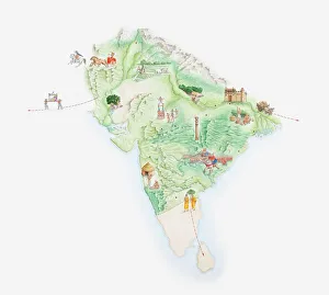
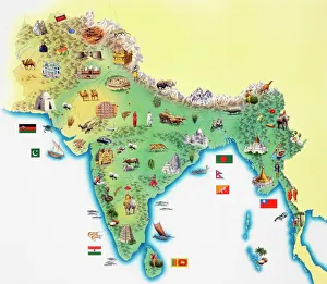
16th century, antique, archival, bangladesh, banner, bay of bengal, border, cartography, ceylon, country, document, geography, historic, historical, india, indian ocean, latitude, legend, map

Background imageGeography Collection: The Agua volcano ringed by clouds at dusk

The Agua volcano ringed by clouds at dusk
Antigua, Guatemala

Background imageGeography Collection: Africa, artwork

Africa, artwork
Africa, computer artwork

Background imageGeography Collection: South America, artwork

South America, artwork
South America, computer artwork

Background imageGeography Collection: Atlantic Ocean, artwork

Atlantic Ocean, artwork
Atlantic Ocean, computer artwork

Background imageGeography Collection: Arctic, artwork

Arctic, artwork
Arctic, computer artwork

Background imageGeography Collection: Asia, artwork

Asia, artwork
Asia, computer artwork


All Professionally Made to Order for Quick Shipping