mail_outline sales@mediastorehouse.com
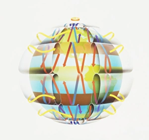
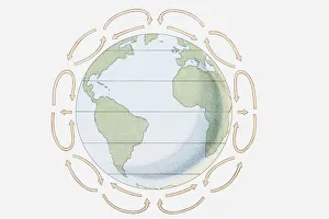
World globe with directional arrows showing trade wind patterns
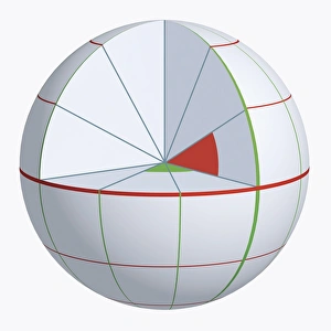
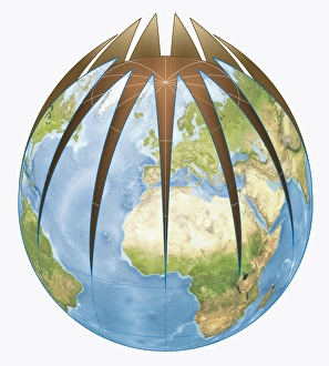
Illustration of coordinate system on cross-section globe
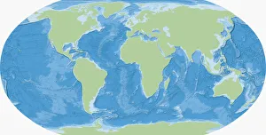
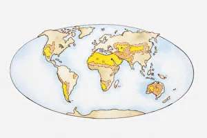
Map of the World
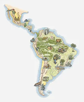
Illustrated map of Central and Southern America
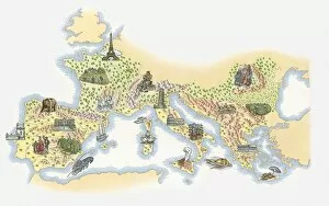
Illustrated map of France, Southern and Southeastern Europe
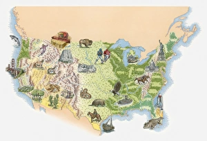
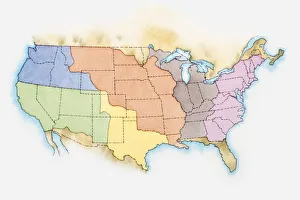
Illustrated map of the USA
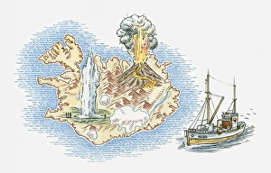
Illustrated map of Iceland
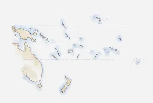
Illustration of scattered group of islands in Pacific Ocean
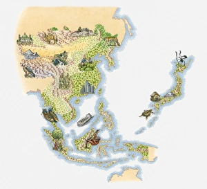
Illustrated map of East and Southeast Asia
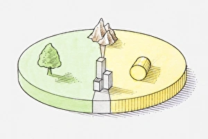
Pie chart illustration representing grassland, forest, farmland and built-up areas of Portugal
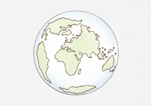
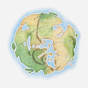
Illustration of continent distribution c. 65 mya, Cenozoic era
Pie chart illustration representing farmland, forest, mountain, and built-up areas of Germany
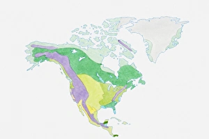
Illustration of USA, Canada and Greenland
Illustration of the United States of America
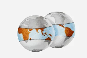
Digital illustration of World globe divided from top
Illustration showing prevailing winds, Hadley cells and the Coriolis effect
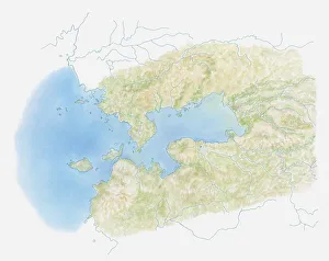
Illustration of Kenyas Lake Victoria on map
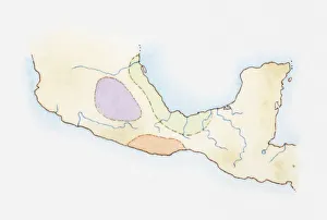
Illustration, map of Central America with territories inhabited by ancient civilisations highlighted, Huaxtecs (green), Mixtecs (red), and Toltecs (blue)
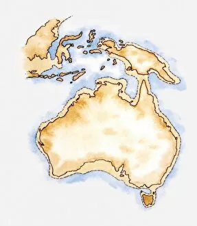
Illustration of simple outline map of Australia
Illustration, map of the world showing desert regions (yellow) and regions in danger of desertification (orange)
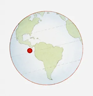
Illustration of globe showing position of Galapagos Islands highlighted in red
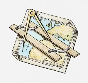
Illustration of ruler and pair of compasses on map
Illustration of the Earth as a flat shape
Illustration of globes outlining the tropical regions including Africa, South America and South East Asia
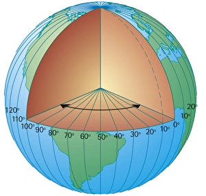
Digital cross section illustration of showing the lines of longitude measured from the centre of the Earth
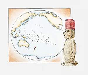
Illustration of Easter Island stone statue in front of a map highlighting Polynesian islands and New Zealand
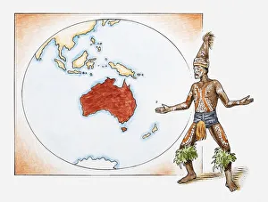
Illustration of Aboriginal tribesman in front of a map of Australia
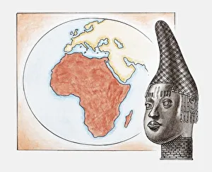
Illustration of head of Queen Mother of Benin (Iyoba) in front of map of Africa
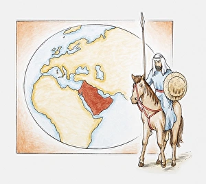
Illustration of an Arab man on horseback in front of a map of ancient Arabia
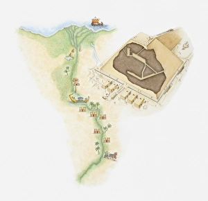
Illustrated map of Egypt showing position of pyramids and rock tombs along River Nile, next to a model of a pyramid
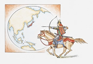
Illustration of early Samurai warrior on horseback in front of a map highlighting Japan
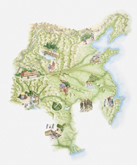
Illustrated map of ancient Chinese empire showing monuments, workers and warriors
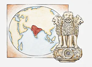
Illustration of lions statue in front of a map with India highlighted
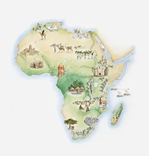
Illustrated map of Africa
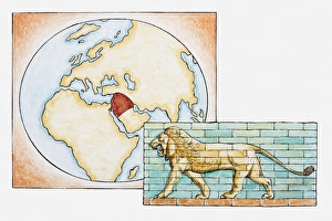
Illustration of lion in front of map highlighting territory of ancient Babylon
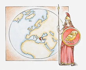
Illustration of Athena in front of map highlighting territory of ancient Greece
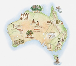
Illustrated map of Australia showing wildlife and Aborigine population
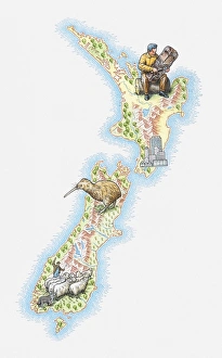
Illustrated map of New Zealand
Illustration of ancient view of the world, based on Roman map from 1st century BC
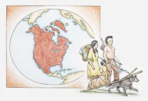
Illustration of American Indian family in front of a map of North America
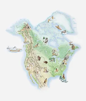
Illustrated map of North America showing indigenous people and wildlife
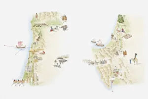
Illustrated maps of ancient Canaan (left) and Sinai peninsula (right)
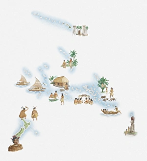
Illustrated map of New Zealand, Hawaiian Islands, Polynesian Islands and native population
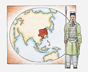
Illustration of ancient Chinese warrior in front of a map of China
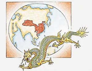
Illustration of Chinese dragon in front of map of China c. AD626 in the era of the T ang dynasty
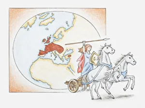
Illustration of Queen Boudicca on chariot in front of map showing Celtic territories across Europe
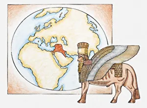
Illustration of Assyrian winged bull and map highlighting territory of ancient Assyria
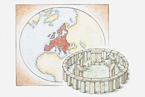
Illustration of ancient stone circle in front of a map of Europe