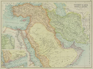
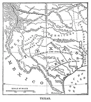
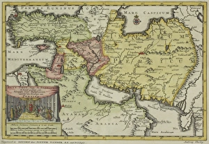
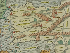
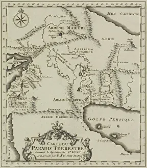
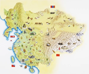
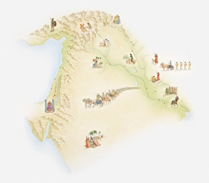
arabia, archival, asia, border, cartography, caspian sea, coordinates, document, geography, historic, historical, insets, iran, iraq, israel, jordan, latitude, legend, longitude, map, mediterranean
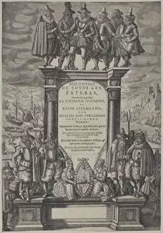
17th century, adults, antique, arch, archival, archway, art, book, columns, cover, depicting, description de touts les pays-bas, engraving, frontispiece, geography, historic, history, human likeness
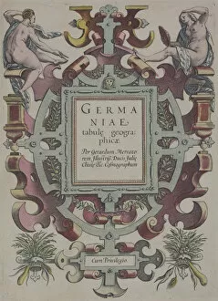
16th century, antique, archival, atlas, book, cartouche, cover, design, elegant, embellishments, engraving, fancy, figures, frontispiece, geography, gerard mercator, germaniae tabule geographicae
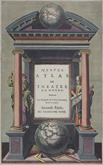
17th century, antique, architecture, archival, book, columns, cover, depicting, engraving, figures, frontispiece, gazebo, geography, globes, historic, history, human likeness, jan jansson, nobody
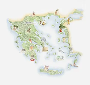
antique, archipelago, art, cartography, cartouche, depicting, document, elegant, engraving, fancy, geography, historical, islands, key, legend, map, mountains, nobody, orientation, print, rugged
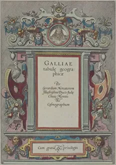
16th century, animal likeness, antique, archival, art, book, cover, cum gratia, decorative, design, engraving, frontispiece, galliae tabule geographicae, geography, historic, history, human likeness
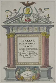
16th century, antique, art, atlas, book, cherubs, columns, cover, eagle, engraving, et graeciae tabule geographice, figures, frontispiece, geography, gerard mercator, historic, history
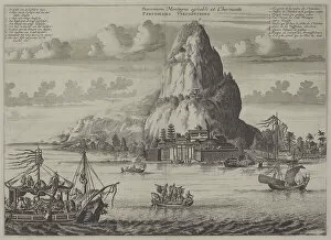
antique, archival, art, asia, asia, asian, boats, caption, culture, depicting, engraving
antique, archival, art, asia, asian, boats, caption, culture, depicting, engraving, geography, harbor, historic, history, island, large group of people, mountain, ocean, peak, print, sailboats
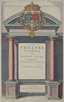
17th century, antique, archival, art, blaeu, book, cover, design, duo pro-tegit unus, engraving, frontispiece, geography, historic, history, le theatre du monde ou novvel atlas, nobody, ornate
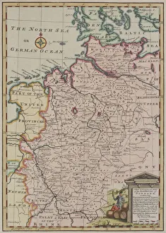
antique, archival, art, cartography, coordinates, county, district, document, geography, historical, illustration, inset, key, kincardineshire, lake, landscape, latitude, legend, loch, longitude
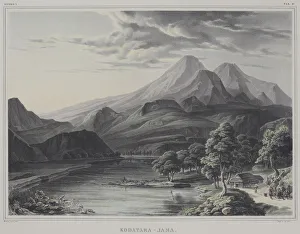
antique, archival, building, depicting, geography, historic, history, illustration, kodotara jama, kodotara-jama, lake, landscape, mountains, nature, print, river, scenic, small group of people
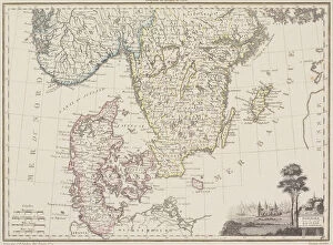
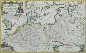
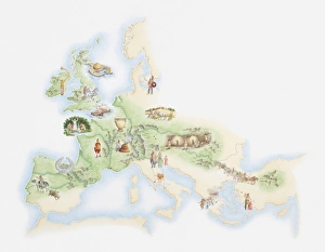
antique, archival, baltic, border, cartography, denmark, document, europe, european, finland, geography, historic, historical, latitude, longitude, map, nobody, north, norway, region, scale