Home > Map > Street Maps
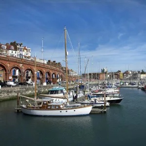
Ramsgate Kent UK City Street Map

![]()
Wall Art and Photo Gifts from Fine Art Storehouse
Ramsgate Kent UK City Street Map
Vector Illustration of a City Street Map of Ramsgate, Kent, UK. Included files are EPS (v10) and Hi-Res JPG.
Data courtesy from Ordnance Survey: VectorMap District
https:/ordnancesurvey.co.uk/business-and-government/products/vectormap-district.html
OS OpenData is free to use under the Open Government Licence (OGL).
Contains OS data eCrown copyright and database right 2017.
http:/nationalarchives.gov.uk/doc/open-government-licence/version/3/
Frank Ramspott
Media ID 15055231
© Frank Ramspott, all rights reserved
Aerial View Computer Graphic Directly Above Gray Green Harbor Kent North Sea Road Map Street Map Text
FEATURES IN THESE COLLECTIONS
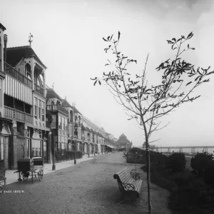
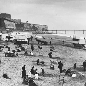
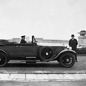
> The Great British Seaside
> Ramsgate, The Great English Seaside
> Map
> Street Maps
MADE IN THE UK
Safe Shipping with 30 Day Money Back Guarantee
FREE PERSONALISATION*
We are proud to offer a range of customisation features including Personalised Captions, Color Filters and Picture Zoom Tools
SECURE PAYMENTS
We happily accept a wide range of payment options so you can pay for the things you need in the way that is most convenient for you
* Options may vary by product and licensing agreement. Zoomed Pictures can be adjusted in the Basket.