Wall Art and Photo Gifts from Fine Art Storehouse
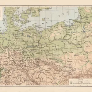
Mecklenburg and Pomerania
Ancient map of Mecklenburg and Pomerania
Nastasic
Media ID 13593315
© Nikola Nastasic
78279
Baltic Sea
Berlin
Cartographer
Contour Drawing
European Culture
Fischland Darß Zingst
German Culture
German Empire
Island
Mecklenburg Vorpommern
Poland
Polish Culture
Pomerania
Prussia
Rugen
Stralsund
Topographic Map
Topography
FEATURES IN THESE COLLECTIONS
> The Magical World of Illustration
> Nastasic Images & Illustrations
> Map
> Historical Maps
> Map
MADE IN THE UK
Safe Shipping with 30 Day Money Back Guarantee
FREE PERSONALISATION*
We are proud to offer a range of customisation features including Personalised Captions, Color Filters and Picture Zoom Tools
SECURE PAYMENTS
We happily accept a wide range of payment options so you can pay for the things you need in the way that is most convenient for you
* Options may vary by product and licensing agreement. Zoomed Pictures can be adjusted in the Basket.
redeem
Beautiful Photo Prints and Gifts
image
Professionally Printed
inventory
Photo Prints are in stock
thumb_up
Professional quality finish
diamond
Made with high-grade materials
inventory_2
Carefully packed to aid safe arrival
Related Images
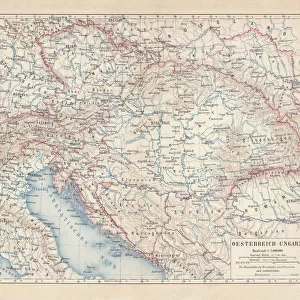
Austro-Hungarian Empire, Habsburg Monarchy, lithograph, published in 1877
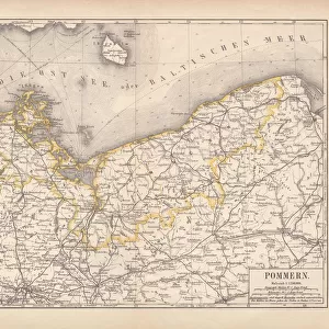
Pomerania, lithograph, lithograph, published in 1878
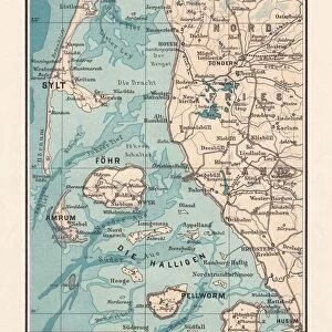
Northern Friesland (Nordfriesland), and islands, Schleswig-Holstein, Germany, lithograph, published 1887
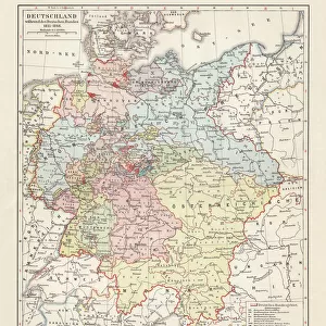
Map of the German Confederation (1815-1866), lithograph, published in 1897
North German lowland map, 19th century view, lithograph, published 1884

Morning Sun - RAOEgen, Sassnitz
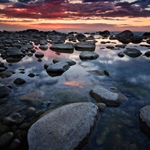
Stone beach at sunset
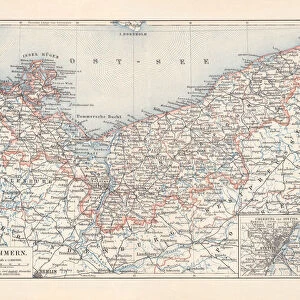
Historical map of Pomerania, Germany and Poland, lithograph, published 1897
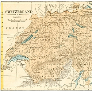
Switzerland map 1875
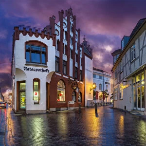
Wismar, Mecklenburg Vorpommern, North Germany
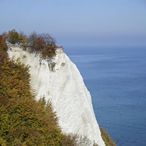
Konigsstuhl, Kings Chair, chalk cliffs in autumn, Jasmund National Park, Rugen, Mecklenburg-Western Pomerania, Germany
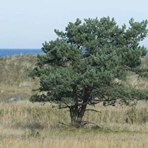
Pine tree -Pinus sylvestris-, the Baltic Sea at the back, Darsser Ort, Mecklenburg-Western Pomerania, Germany
Related Collections
Nastasic Images & Illustrations
Browse 2,784 Prints

Map
Browse 9,862 Prints

Historical Maps
Browse 3,316 Prints

