mail_outline sales@mediastorehouse.com
3,678 items
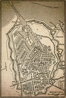
Dunkirk mapAntique engraving illustration of a Dunkirk map
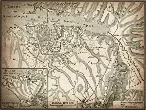
Sevastopol or SebastopolAntique illustration map of a Sevastopol or Sebastopol
Map of contantinopleAntique illustration map of contantinople
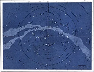
The northern skyIllustration of the northern sky
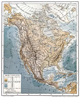
North AmericaAntique illustration of a North America
RomaniaAntique map of Romania
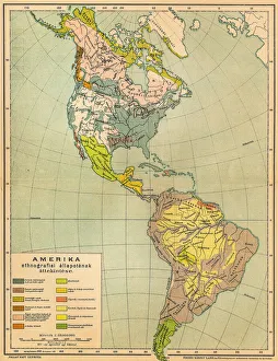
American ethnographic mapIllutration of American ethnographic map
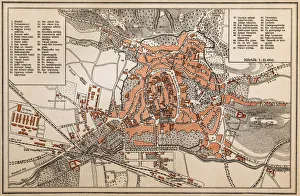
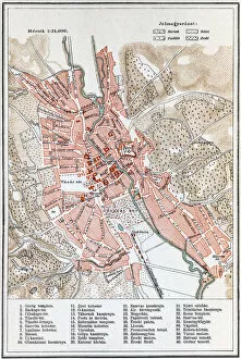
Map of KosiceAntique illustration of a map of Kosice
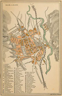
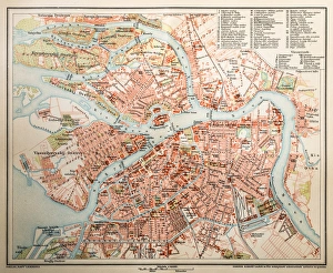
St. PetersburgAntique illustration of a St. Petersburg
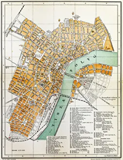
Szeged mapAntique illustration of a Szeged map
Sopron mapAntique map of Sopron city
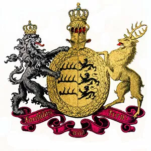
Kingdom of Wurttemberg, GermanyIllustration of Kingdom of Wurttemberg, Germany
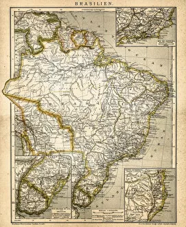
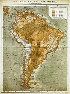
South America mapAntique illustration of a South America map
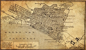
City map of Thessaloniki, GreeceIllustration of a city map of Thessaloniki, Greece
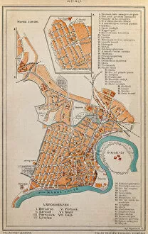
Arad City MapIllustration of a Arad City Map
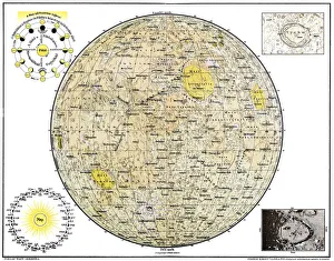
Lunar MapAntique illustration of a Lunar Map
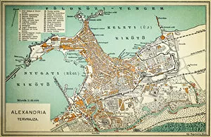
Alexandria mapIllustration of a Alexandria map
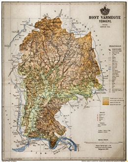
Hont CountyHont, Honthum, Honth was an administrative county (comitatus) of the Kingdom of Hungary and then shortly of Czechoslovakia
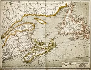
Eastern Canada and NewfoundlandIllustration of a Eastern Canada and Newfoundland
Map of EgerAntique illustration engraving map of Eger
Kingdom of Saxony, province of Saxony (southern part) and Thuringian states
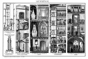
ElevatorsAntique illustration engraving of various elevators
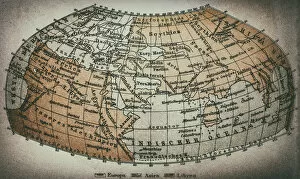
Earth map according to Claudius PtolemaeusAntique illustration of a earth map according to Claudius Ptolemaeus
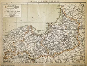
PrussiaAntique illustration of a East-West West Prussia
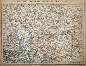
Province of Brandenburg, province of Saxony, northern partAntique illustration of a Province of Brandenburg, province of Saxony, northern part
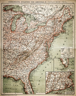
United States of America, eastern partAntique illustration of a United States of America, eastern part
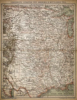
United States of America, Middle sectionAntique illustration of a United States of America, Middle section
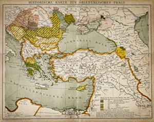
Historical map of the Oriental part of worldAntique illustration of a Historical map of the Oriental part of world
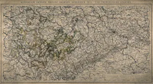
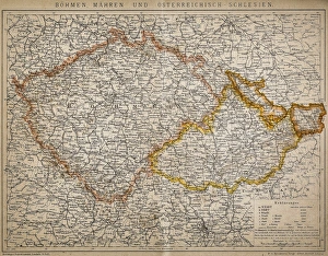
Bohemia, Moravia and Austro - SilesiaAntique illustration of a Bohemia, Moravia and Austro - Silesia
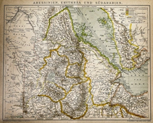
Abyssinia, Eritrea and South ArabiaAntique illustration of a Abyssinia, Eritrea and South Arabia
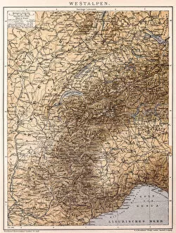
Western AlpsAntique illustration of a Western Alps
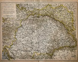
Hungary and GaliciaAntique Illustration map of a Hungary and Galicia
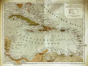
West indies, Antilles mapIllustration of a West indies, Antilles map
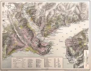
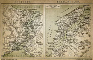
Bosporus and Dardanelles mapAntique illustration of a Bosporus and Dardanelles map
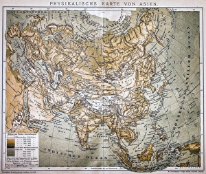
Map of AsiaAntique map of Asia
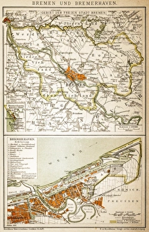
Bremen and BremerhavenAntique illustration of a Bremen and Bremerhaven map
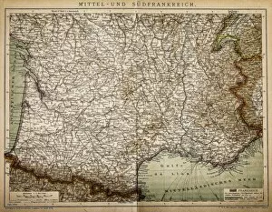
Central and Southern FranceAntique illustration of a Central and Southern France map
United States of America mapAntique illustration of a United States of America map
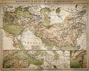
Map of Alexanders empire and conquestsAntique illustration Map of Alexanders empire and conquests
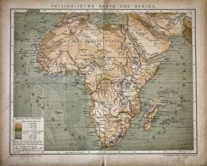
Map of AfricaAntique illustration of a map of Africa
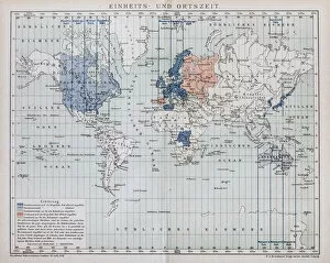
Local time world mapAntique illustration of a local time world map
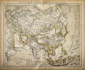
Political Map of AsiaAntique illustration of Political Map of Asia
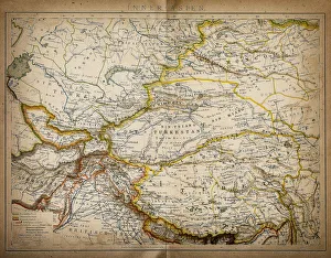
Map of inner AsiaAntique illustration of a inner Asia
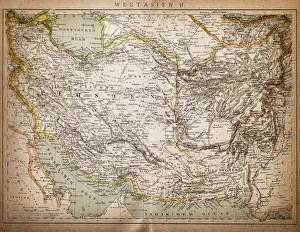
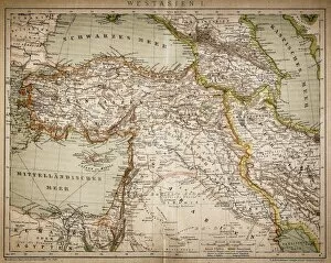
Map of West AsiaAntique illustration of a West Asia
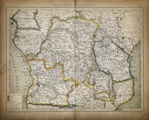
Equatorial AfricaAntique illustration of a equatorial Africa
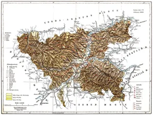
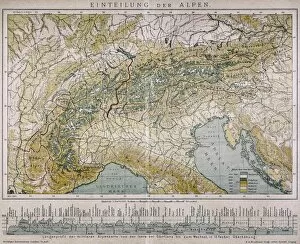
Classification of the AlpsAntique illustration of a classification of the Alps