Home > The Magical World of Illustration > Nastasic Images & Illustrations
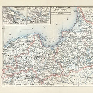
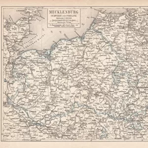
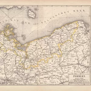
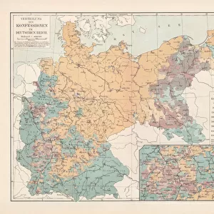
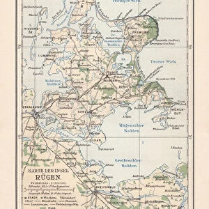
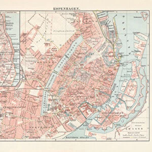
Prussia. Antique illustration of a East-West West Prussia

![]()
Wall Art and Photo Gifts from Fine Art Storehouse
Prussia. Antique illustration of a East-West West Prussia
Nastasic
Media ID 13590367
© This content is subject to copyright
1860 1869 Baltic Sea Central Europe German Culture German North Sea Region Historical Geopolitical Location Navigational Equipment North Sea Prussia Serbia Styles
FEATURES IN THESE COLLECTIONS
> The Magical World of Illustration
> Nastasic Images & Illustrations
> Map
> Historical Maps
> Map
MADE IN THE UK
Safe Shipping with 30 Day Money Back Guarantee
FREE PERSONALISATION*
We are proud to offer a range of customisation features including Personalised Captions, Color Filters and Picture Zoom Tools
SECURE PAYMENTS
We happily accept a wide range of payment options so you can pay for the things you need in the way that is most convenient for you
* Options may vary by product and licensing agreement. Zoomed Pictures can be adjusted in the Basket.