Home > Map > Historical Maps

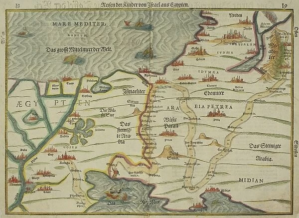
Antique map of holy land with Egypt and Israel

Antique map of holy land with Egypt and Israel


Photo Prints
Jigsaw Puzzles
Poster Prints
Cards
Home Decor
Mounted Prints
Canvas Prints
Fine Art Prints
Metal Prints


We accept all major credit cards

Wall Art and Photo Gifts from Fine Art Storehouse

Antique map of holy land with Egypt and Israel

Hemera Technologies

Media ID 13667369

© Getty Images

Arabia Border Colorful Direction Document Egypt Geography Holy Land Israel Legend Location Mediterranean Sea Middle East Nile River Place Positioning Title


FEATURES IN THESE COLLECTIONS

> Map > Historical Maps

> Map


MADE IN THE UK
Safe Shipping with 30 Day Money Back Guarantee

FREE PERSONALISATION*
We are proud to offer a range of customisation features including Personalised Captions, Color Filters and Picture Zoom Tools

SECURE PAYMENTS
We happily accept a wide range of payment options so you can pay for the things you need in the way that is most convenient for you

* Options may vary by product and licensing agreement. Zoomed Pictures can be adjusted in the Basket.

redeem
Beautiful Photo Prints and Gifts
image
Professionally Printed
inventory
Photo Prints are in stock
thumb_up
Professional quality finish
diamond
Made with high-grade materials
inventory_2
Carefully packed to aid safe arrival


Related Images


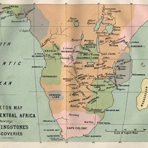
Map South and Central Africa, Livingstones discoveries
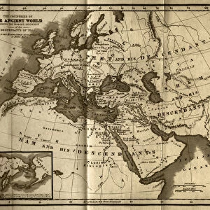
Probable Settlement of the Descendants of Noah (steel engraving)
Temple of the Kek Lok Si Buddhist Temple Complex, Air Itam, Penang, Malaysia
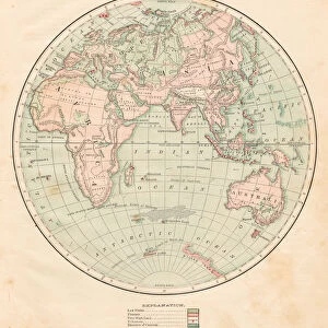
Eastern hemisphere map 1881
Overview, Kek Lok Si Buddhist Temple Complex, Air Itam, Penang, Malaysia
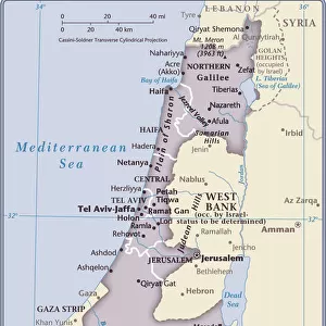
Israel Country Map 2011 Edition
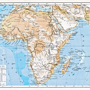
Mountain and Hydrographic Map of Africa
Pinkalicius ranunculus... Pink for OCTOBER
Galapagos Sea Lion -Zalophus wollebaeki- in the surf, San Cristobal Island, Galapagos Islands, Ecuador
Leon Dormido or Kicker Rock, Galapagos Islands, Ecuador
Exhibition Rain
Exhibition Rain
Map of Eygpt, 19th Century

+

Shipping

+

Choices

+

Guaranteed