Home > Map > Historical Maps
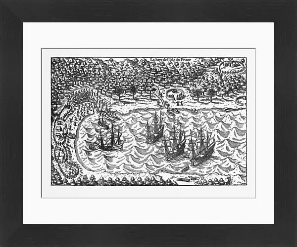
Framed Print : Island of Principe Historical Map by Van Noort, Circa 1598


![]()
Framed Photos from Fine Art Storehouse
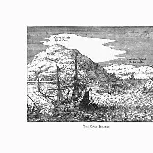
Island of Principe Historical Map by Van Noort, Circa 1598
Very Rare, Beautifully Illustrated Antique Engraved Victorian Illustration of Historical Map of Van Noort at the Island of Principe, 1598. Copyright has expired on this artwork. Digitally restored
bauhaus1000
Media ID 13667201
© bauhaus1000
103626 16th Century 16th Century Style 268399 78273 Atlantic Islands Bay Of Water Business Finance And Industry Chart Commercial Dock Design Element Diagram Direction Discovery Dutch Culture European Culture Exploration Explorer Fishing Fishing Industry Freight Transportation Image Created 16th Century Indigenous Culture Industry Island Journey Navigational Equipment Papua New Guinea People Traveling Plan Research Retail Occupation Sailing Ship Sea Passage Ship Shipping South Pacific Ocean Village
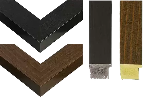
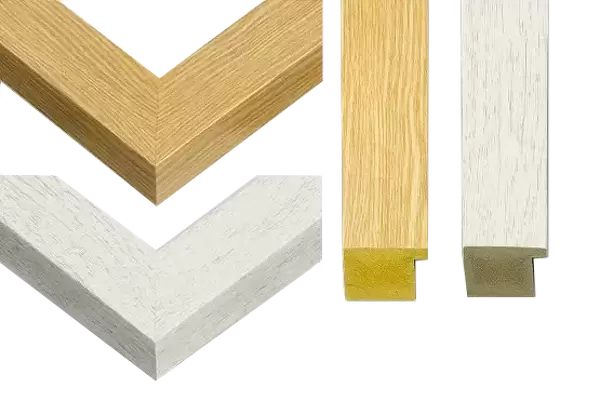
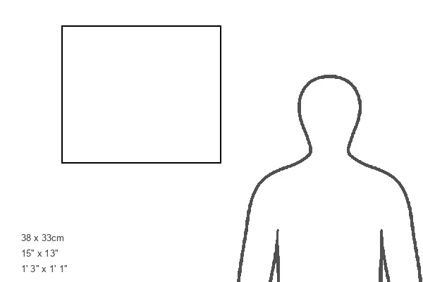
14"x12" (38x32cm) Modern Frame
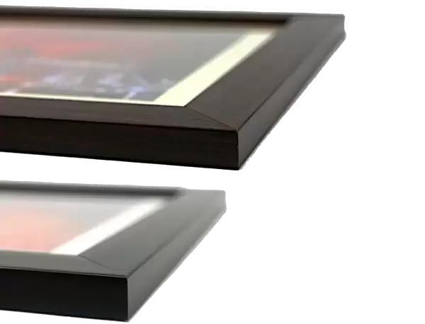
Wood effect frame, card mounted, 10x8 archival quality photo print. Overall outside dimensions 14x12 inches (38x32cm). Environmentally and ozone friendly, 40mm wide x 15mm Polycore® moulding has the look of real wood, is durable and light and easy to hang. Biodegradable and made with non-chlorinated gases (no toxic fumes) it is efficient; producing 100 tons of polystyrene can save 300 tons of trees! Prints are glazed with lightweight, shatterproof, optical clarity acrylic (providing the same general protection from the environment as glass). The back is stapled hardboard with a sawtooth hanger attached. Note: To minimise original artwork cropping, for optimum layout, and to ensure print is secure, the visible print may be marginally smaller
Contemporary Framed and Mounted Prints - Professionally Made and Ready to Hang
Estimated Image Size (if not cropped) is 24.4cm x 17cm (9.6" x 6.7")
Estimated Product Size is 37.6cm x 32.5cm (14.8" x 12.8")
These are individually made so all sizes are approximate
Artwork printed orientated as per the preview above, with landscape (horizontal) orientation to match the source image.
FEATURES IN THESE COLLECTIONS
> Map
> Historical Maps
> Map
MADE IN THE UK
Safe Shipping with 30 Day Money Back Guarantee
FREE PERSONALISATION*
We are proud to offer a range of customisation features including Personalised Captions, Color Filters and Picture Zoom Tools
SECURE PAYMENTS
We happily accept a wide range of payment options so you can pay for the things you need in the way that is most convenient for you
* Options may vary by product and licensing agreement. Zoomed Pictures can be adjusted in the Cart.