Canvas Print > Map > Reference Maps
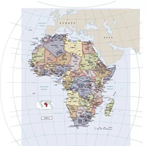
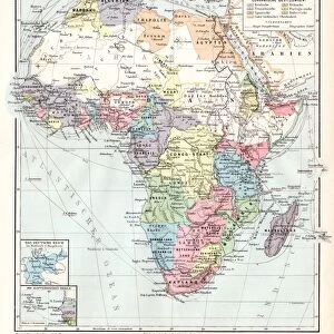
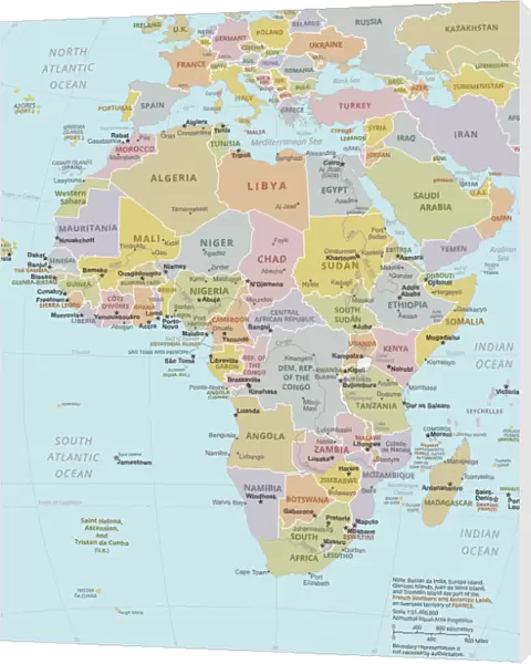
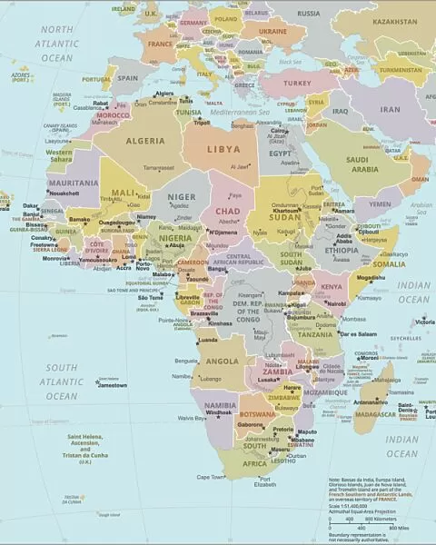
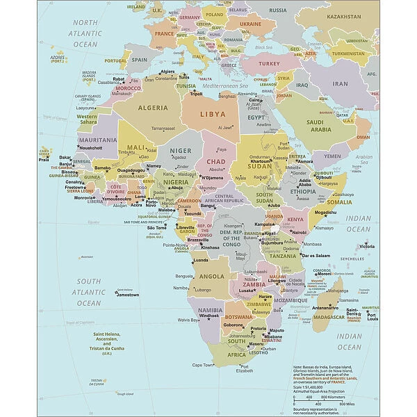
Canvas Print : Political Map of Africa


Canvas Prints from Fine Art Storehouse
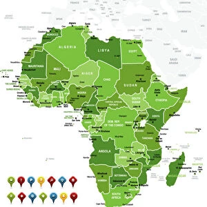
Political Map of Africa
Vector Illustration of the policital map of Africa
Reference map as created by the US Central Intelligence Agency
calvindexter
Media ID 20251035
Adventure Algeria Backgrounds Business Concepts Creativity Data Design Element Division Exploration Global Communications Government Icon Ideas Indian Ocean Infographic International Border Island Journey Kenya Land Libya Madagascar Newspaper Outline Politics Sign Silhouette South Africa Sudan Symbol Technology Topography Trip Unity Vector World Map
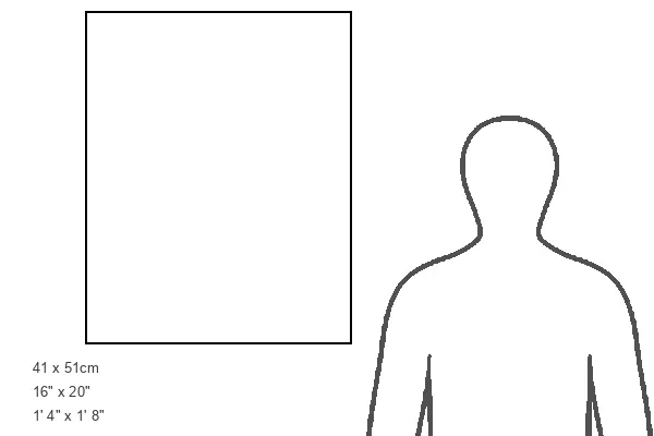
20"x16" (51x41cm) Canvas Print
Delivered stretched and ready to hang our premium quality canvas prints are made from a polyester/cotton blend canvas and stretched over a 1.25" (32mm) kiln dried knot free wood stretcher bar. Packaged in a plastic bag and secured to a cardboard insert for safe transit.
Canvas Prints add colour, depth and texture to any space. Professionally Stretched Canvas over a hidden Wooden Box Frame and Ready to Hang
Estimated Product Size is 40.6cm x 50.8cm (16" x 20")
These are individually made so all sizes are approximate
Artwork printed orientated as per the preview above, with portrait (vertical) orientation to match the source image.
FEATURES IN THESE COLLECTIONS
> Map
> Reference Maps
MADE IN THE USA
Safe Shipping with 30 Day Money Back Guarantee
FREE PERSONALISATION*
We are proud to offer a range of customisation features including Personalised Captions, Color Filters and Picture Zoom Tools
SECURE PAYMENTS
We happily accept a wide range of payment options so you can pay for the things you need in the way that is most convenient for you
* Options may vary by product and licensing agreement. Zoomed Pictures can be adjusted in the Cart.