Home > Travel Imagery > Travel Destinations > patagonia
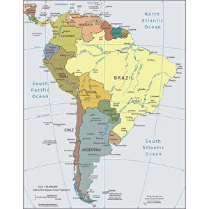
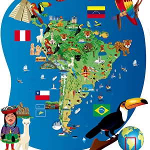
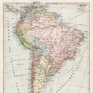
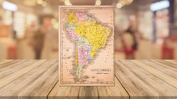
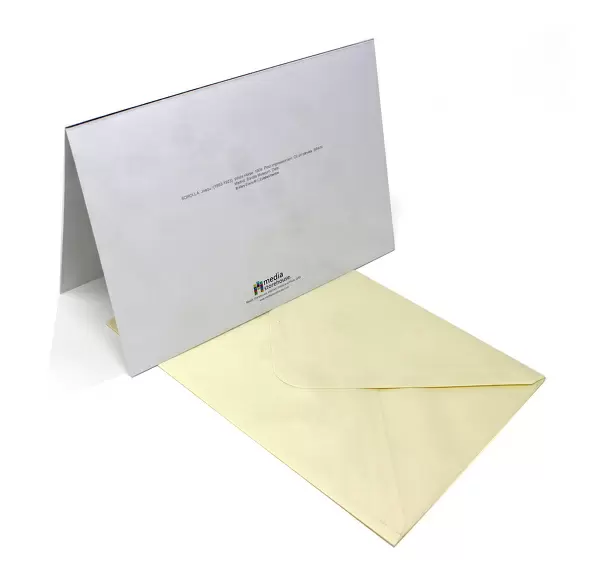
Greetings Card : South America 1852 Map


![]()
Cards from Fine Art Storehouse
South America 1852 Map
benoitb
Media ID 13666889
© benoitb
Argentina Atlantic Ocean Bolivia Brazil Caribbean Sea Chile Color Swatch Ecuador Geographic Map Line Art Pacific Ocean Paraguay Patagonia Argentina Patagonia Chile Peru Sketch South America The Americas Uruguay Venezuela
Greetings Card (A5)
Create your own greetings card. Size when folded is A5 (14.5x21cm or 5.7x8.3 inches)
Greetings Cards suitable for Birthdays, Weddings, Anniversaries, Graduations, Thank You and much more
Estimated Image Size (if not cropped) is 14.5cm x 21cm (5.7" x 8.3")
Estimated Product Size is 29cm x 21cm (11.4" x 8.3")
These are individually made so all sizes are approximate
Artwork printed orientated as per the preview above, with portrait (vertical) orientation to match the source image.
FEATURES IN THESE COLLECTIONS
> Map
> Historical Maps
> Map
> Travel Imagery
> Travel Destinations
> patagonia
MADE IN THE UK
Safe Shipping with 30 Day Money Back Guarantee
FREE PERSONALISATION*
We are proud to offer a range of customisation features including Personalised Captions, Color Filters and Picture Zoom Tools
SECURE PAYMENTS
We happily accept a wide range of payment options so you can pay for the things you need in the way that is most convenient for you
* Options may vary by product and licensing agreement. Zoomed Pictures can be adjusted in the Cart.