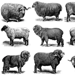
Photographic Print > The Magical World of Illustration > Nastasic Images & Illustrations
Photographic Print : Africa Political Map


![]()
Photo Prints from Fine Art Storehouse
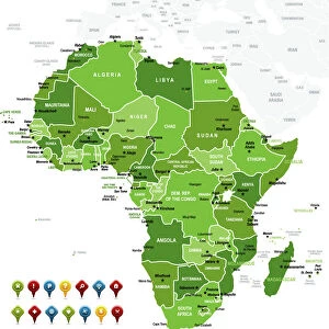
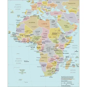
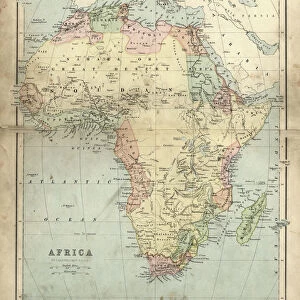
Africa Political Map
Antique illustration of a Africa Political Map from 1893
Nastasic
Media ID 13591693
© Nikola Nastasic
1893 Algeria Angola Botswana Boundary Cameroon Continent Egypt Ethiopia Gabon Gambia Ghana Guinea Horn Of Africa Kenya Lesotho Libya Madagascar Malawi Mali Middle East Morocco Mozambique Niger Politics Politics And Government Somalia Sudan Tanzania Tunisia Uganda Zambia Zimbabwe
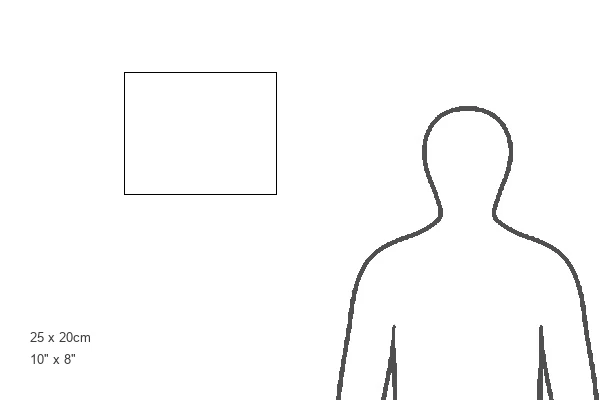
10"x8" Photo Print
Photo prints are produced on Kodak professional photo paper resulting in timeless and breath-taking prints which are also ideal for framing. The colors produced are rich and vivid, with accurate blacks and pristine whites, resulting in prints that are truly timeless and magnificent. Whether you're looking to display your prints in your home, office, or gallery, our range of photographic prints are sure to impress. Dimensions refers to the size of the paper in inches.
Our Photo Prints are in a large range of sizes and are printed on Archival Quality Paper for excellent colour reproduction and longevity. They are ideal for framing (our Framed Prints use these) at a reasonable cost. Alternatives include cheaper Poster Prints and higher quality Fine Art Paper, the choice of which is largely dependant on your budget.
Estimated Product Size is 25.4cm x 20.3cm (10" x 8")
These are individually made so all sizes are approximate
Artwork printed orientated as per the preview above, with landscape (horizontal) orientation to match the source image.
FEATURES IN THESE COLLECTIONS
> The Magical World of Illustration
> Nastasic Images & Illustrations
> Map
> Historical Maps
> Map
> Travel Imagery
> Travel Destinations
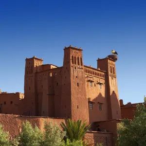
> Morocco, North Africa
MADE IN THE USA
Safe Shipping with 30 Day Money Back Guarantee
FREE PERSONALISATION*
We are proud to offer a range of customisation features including Personalised Captions, Color Filters and Picture Zoom Tools
SECURE PAYMENTS
We happily accept a wide range of payment options so you can pay for the things you need in the way that is most convenient for you
* Options may vary by product and licensing agreement. Zoomed Pictures can be adjusted in the Cart.