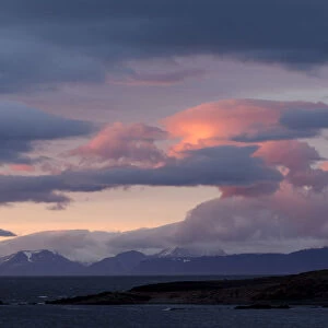
Framed Print > Travel Imagery > Remote Places > Svalbard, Norway
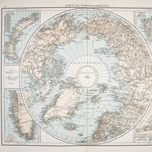
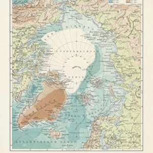
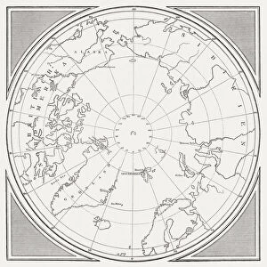
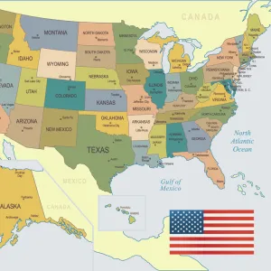
Framed Print : Ancient map of the Arctic Region, lithograph, published in 1883


![]()
Framed Photos from Fine Art Storehouse
Ancient map of the Arctic Region, lithograph, published in 1883
Ancient map of the Arctic Region. Lithograph, published in 1883
Media ID 13666939
© ZU_09
62990 78279 Alaska Us State Arctic Arctic Ocean Canada Circle Earth Ethnocultural History Globe Man Made Object Globe Navigational Equipment Greenland Island North America North Pole Norway Polar Climate Russia Scandinavia Siberia Spitsbergen Square Svalbard And Jan Mayen Topography World Map
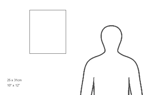
12"x10" Modern Frame
10x8 Print in an MDF Wooden Frame with 180 gsm Satin Finish Paper. Glazed using shatter proof thin plexi glass. Frame thickness is 1 inch and depth 0.75 inch. Fluted cardboard backing held with clips. Supplied ready to hang with sawtooth hanger and rubber bumpers. Spot clean with a damp cloth. Packaged foam wrapped in a card.
Contemporary Framed and Mounted Prints - Professionally Made and Ready to Hang
Estimated Image Size (if not cropped) is 25.4cm x 25.4cm (10" x 10")
Estimated Product Size is 25.4cm x 30.5cm (10" x 12")
These are individually made so all sizes are approximate
Artwork printed orientated as per the preview above, with landscape (horizontal) or portrait (vertical) orientation to match the source image.
FEATURES IN THESE COLLECTIONS
> Map
> Historical Maps
> Map
> Travel Imagery
> Remote Places
> Svalbard, Norway
MADE IN THE USA
Safe Shipping with 30 Day Money Back Guarantee
FREE PERSONALISATION*
We are proud to offer a range of customisation features including Personalised Captions, Color Filters and Picture Zoom Tools
SECURE PAYMENTS
We happily accept a wide range of payment options so you can pay for the things you need in the way that is most convenient for you
* Options may vary by product and licensing agreement. Zoomed Pictures can be adjusted in the Cart.