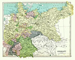
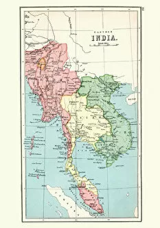
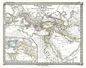
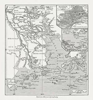
Antique map Burma, Thailand, Vietnam, Malaysia, 1897, late 19th Century
Vintage engraving of a Antique map of Burma, Thailand, Vietnam, Malaysia, 1897, late 19th Century
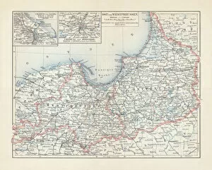
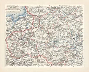
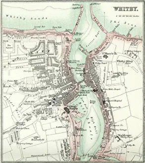
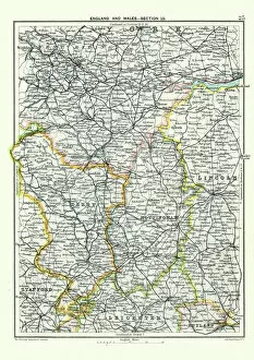
Antique map, West Yorkshire, Derby, Nottingham, Lincoln, 19th Century
Vintage engraving of a Antique map, West Yorkshire, Derby, Nottingham, Lincoln, Stafford, Leicester, Rutland, England. 19th Century