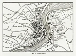
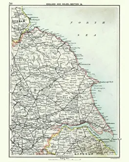
Map of Londonderry, Derry, Donegal, Northern Ireland, Victorian Engraving, 1840
Very Rare, Beautifully Illustrated Antique Engraving of Map of Londonderry, Derry, Donegal, Northern Ireland, Victorian Engraving, 1840. Source: Original edition from my own archives