Home > Map > Reference Maps
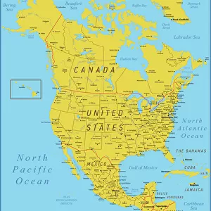
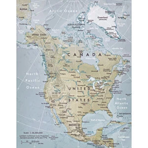
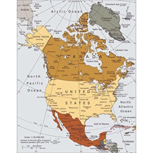
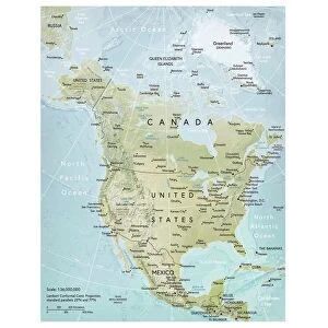
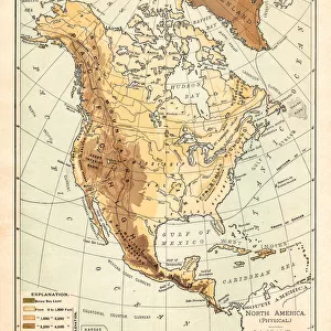
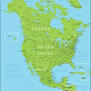
River and mountains map of North America

![]()
Wall Art and Photo Gifts from Fine Art Storehouse
River and mountains map of North America
Illustration of a River and mountains map of North America
Nastasic
Media ID 21086499
Atlantic Ocean Backgrounds Dictionary Direction Grunge Image Technique Mexico Monoprint North America Paper Relief Map Retro Style Sepia Toned Square Topography
FEATURES IN THESE COLLECTIONS
> Map
> Historical Maps
> Map
> Reference Maps
> Map
MADE IN THE UK
Safe Shipping with 30 Day Money Back Guarantee
FREE PERSONALISATION*
We are proud to offer a range of customisation features including Personalised Captions, Color Filters and Picture Zoom Tools
SECURE PAYMENTS
We happily accept a wide range of payment options so you can pay for the things you need in the way that is most convenient for you
* Options may vary by product and licensing agreement. Zoomed Pictures can be adjusted in the Basket.