Home > Map > USA Maps
Greetings Card : Vintage Map of New England


![]()
Cards from Fine Art Storehouse
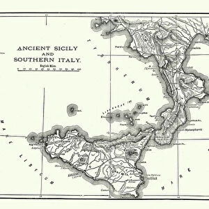
Vintage Map of New England
Vintage Map of New England at the beginning of the 18th century
duncan1890
Media ID 13666421
© Duncan Walker
18th Century 18th Century Style American Culture Boston Boston Massachusetts Cape Cod Chart Colony Connecticut Eastern Usa Ephemera Geographical Locations Image Created 18th Century Maine Massachusetts Navigational Equipment New England New England Usa New Hampshire North America Past Plymouth Printed Media Rhode Island Styles The Americas Traditional Culture Vermont
Greetings Card (A5)
Create your own greetings card. Size when folded is A5 (14.5x21cm or 5.7x8.3 inches)
Greetings Cards suitable for Birthdays, Weddings, Anniversaries, Graduations, Thank You and much more
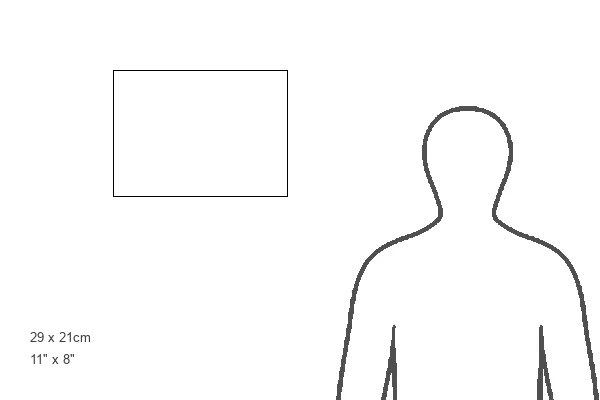
Estimated Image Size (if not cropped) is 14.5cm x 21cm (5.7" x 8.3")
Estimated Product Size is 29cm x 21cm (11.4" x 8.3")
These are individually made so all sizes are approximate
Artwork printed orientated as per the preview above, with portrait (vertical) orientation to match the source image.
FEATURES IN THESE COLLECTIONS
> Map
> Historical Maps
> Map
MADE IN THE UK
Safe Shipping with 30 Day Money Back Guarantee
FREE PERSONALISATION*
We are proud to offer a range of customisation features including Personalised Captions, Color Filters and Picture Zoom Tools
SECURE PAYMENTS
We happily accept a wide range of payment options so you can pay for the things you need in the way that is most convenient for you
* Options may vary by product and licensing agreement. Zoomed Pictures can be adjusted in the Cart.